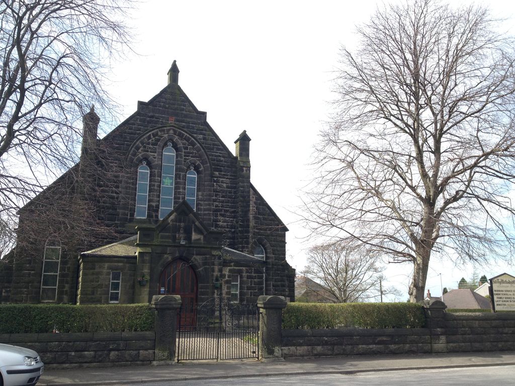
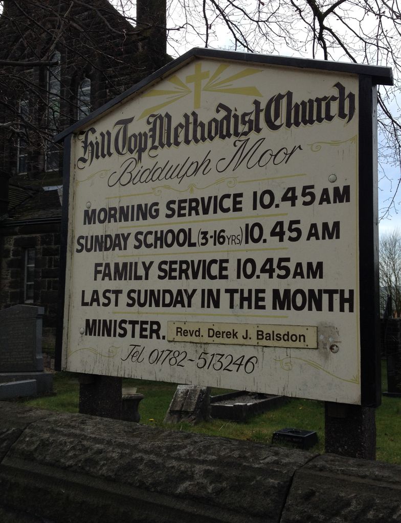
| Memorials | : | 17 |
| Location | : | Biddulph Moor, Staffordshire Moorlands District, England |
frequently asked questions (FAQ):
-
Where is Hill Top Methodist Church Churchyard?
Hill Top Methodist Church Churchyard is located at Biddulph Moor, Staffordshire Moorlands District, England.
-
Hill Top Methodist Church Churchyard cemetery's updated grave count on graveviews.com?
15 memorials
Nearby Cemetories:
1. St Leonard Churchyard
Bradley in the Moors, Staffordshire Moorlands District, England
2. Cheddleton Asylum Burial Ground
Cheddleton, Staffordshire Moorlands District, England
Coordinate: 52.9824410, -2.0733810
3. St Edward the Confessor Churchyard
Cheddleton, Staffordshire Moorlands District, England
Coordinate: 52.9875710, -2.0452820
4. St Edwards Lawn Cemetery
Cheddleton, Staffordshire Moorlands District, England
Coordinate: 53.1135330, -2.0879040
5. St. Mark the Evangelist Churchyard
Foxt, Staffordshire Moorlands District, England
Coordinate: 53.1139430, -2.0878020
6. Buxton Road Cemetery
Leek, Staffordshire Moorlands District, England
7. Leek Cemetery
Leek, Staffordshire Moorlands District, England
Coordinate: 53.0887220, -2.0625850
8. St Edward the Confessor Churchyard
Leek, Staffordshire Moorlands District, England
Coordinate: 53.0409100, -2.0555020
9. St Luke Churchyard
Leek, Staffordshire Moorlands District, England
10. Tomkin Chapel
Stanley, Staffordshire Moorlands District, England
Coordinate: 53.0558430, -2.1082770
11. St Margaret Churchyard
Wetton, Staffordshire Moorlands District, England
Coordinate: 53.1062600, -1.8814800
12. Christ Church Churchyard
Biddulph Moor, Staffordshire Moorlands District, England
13. Caverswall Cemetery
Caverswall, Staffordshire Moorlands District, England
14. St Peter Churchyard
Caverswall, Staffordshire Moorlands District, England
Coordinate: 52.9824410, -2.0733810
15. All Saints Churchyard
Dilhorne, Staffordshire Moorlands District, England
Coordinate: 52.9875710, -2.0452820
16. St. Michael and All Angels Churchyard
Horton, Staffordshire Moorlands District, England
Coordinate: 53.1135330, -2.0879040
17. St. Michael's Churchyard Extension
Horton, Staffordshire Moorlands District, England
Coordinate: 53.1139430, -2.0878020
18. Longsdon Cemetery
Longsdon, Staffordshire Moorlands District, England
19. St Chad Churchyard
Longsdon, Staffordshire Moorlands District, England
Coordinate: 53.0887220, -2.0625850
20. St John the Baptist Churchyard
Wetley Rocks, Staffordshire Moorlands District, England
Coordinate: 53.0409100, -2.0555020
21. St Peter Churchyard
Wetley Rocks, Staffordshire Moorlands District, England
22. St Chad Churchyard
Bagnall, Staffordshire Moorlands District, England
Coordinate: 53.0558430, -2.1082770
23. St. Bartholomew's Churchyard
Butterton, Staffordshire Moorlands District, England
Coordinate: 53.1062600, -1.8814800
24. St John the Evangelist - Hollington
Checkley, Staffordshire Moorlands District, England


