
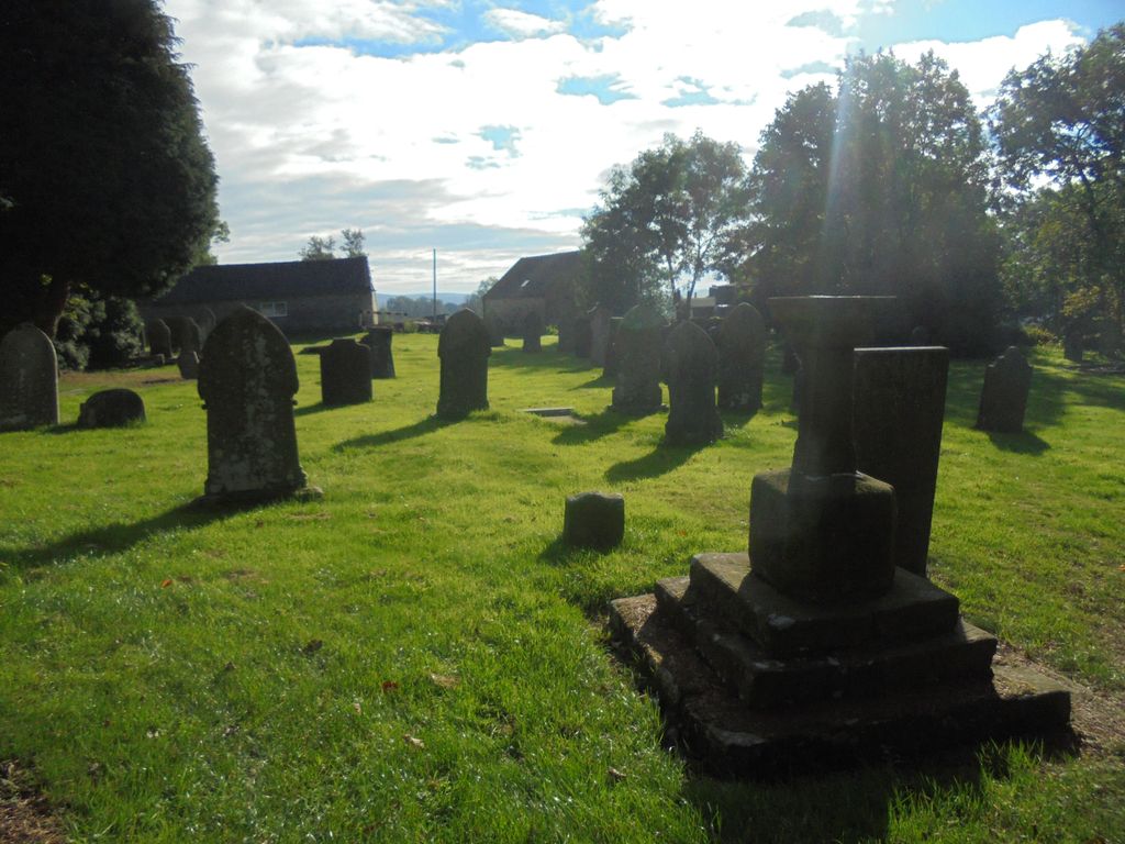
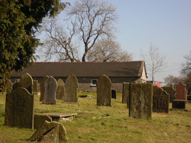
| Memorials | : | 3 |
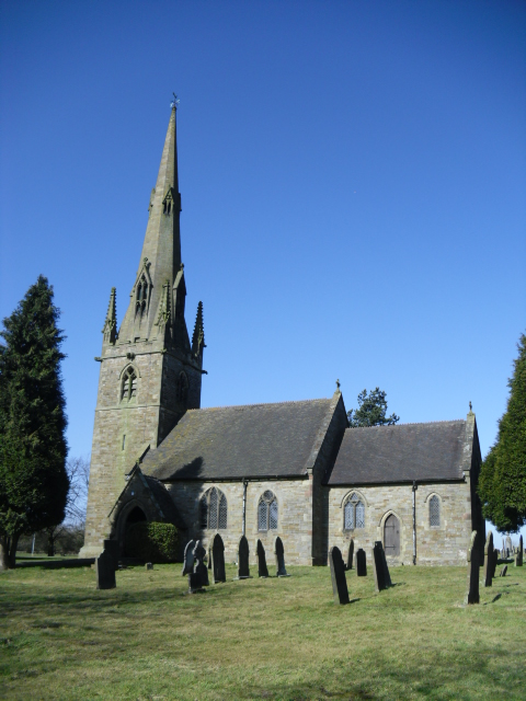
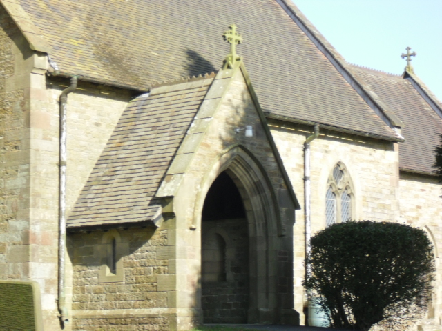
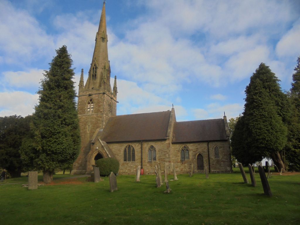
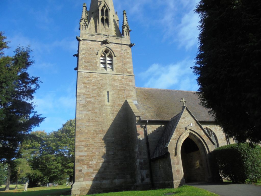
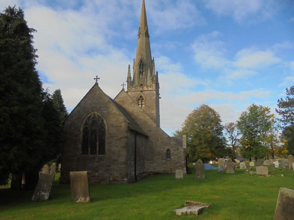
| Location | : | Butterton, Staffordshire Moorlands District, England |
| Coordinate | : | 53.1062600, -1.8814800 |
frequently asked questions (FAQ):
-
Where is St. Bartholomew's Churchyard?
St. Bartholomew's Churchyard is located at Butterton, Staffordshire Moorlands District ,Staffordshire ,England.
-
St. Bartholomew's Churchyard cemetery's updated grave count on graveviews.com?
3 memorials
-
Where are the coordinates of the St. Bartholomew's Churchyard?
Latitude: 53.1062600
Longitude: -1.8814800
Nearby Cemetories:
1. All Saints Churchyard
Grindon, Staffordshire Moorlands District, England
Coordinate: 53.0879220, -1.8738510
2. St. Lawrence Churchyard
Warslow, Staffordshire Moorlands District, England
Coordinate: 53.1248380, -1.8723470
3. St Margaret Churchyard
Wetton, Staffordshire Moorlands District, England
Coordinate: 53.0955990, -1.8392170
4. St. Luke Churchyard
Onecote, Staffordshire Moorlands District, England
Coordinate: 53.0935720, -1.9289360
5. St. James and St. Bartholomew Churchyard
Waterfall, Staffordshire Moorlands District, England
Coordinate: 53.0620350, -1.8791780
6. St. Peter's Churchyard
Alstonefield, Staffordshire Moorlands District, England
Coordinate: 53.0951350, -1.8031540
7. St. Luke's Churchyard
Sheen, High Peak Borough, England
Coordinate: 53.1504980, -1.8321300
8. St Giles Churchyard
Hartington, Derbyshire Dales District, England
Coordinate: 53.1413120, -1.8075970
9. St Mary's Churchyard
Calton, Staffordshire Moorlands District, England
Coordinate: 53.0489970, -1.8472480
10. St Mary and St Laurence Churchyard
Cauldon, Staffordshire Moorlands District, England
Coordinate: 53.0423040, -1.8845550
11. Holy Cross Churchyard
Ilam, Staffordshire Moorlands District, England
Coordinate: 53.0533440, -1.8034640
12. St. Thomas Churchyard
Biggin-by-Hartington, Derbyshire Dales District, England
Coordinate: 53.1311080, -1.7703070
13. Buxton Road Cemetery
Leek, Staffordshire Moorlands District, England
Coordinate: 53.1154780, -2.0029690
14. St. Bartholomew Churchyard
Longnor, Staffordshire Moorlands District, England
Coordinate: 53.1818800, -1.8686700
15. St. Mark the Evangelist Churchyard
Foxt, Staffordshire Moorlands District, England
Coordinate: 53.0362440, -1.9473820
16. St Luke Churchyard
Leek, Staffordshire Moorlands District, England
Coordinate: 53.1061400, -2.0191430
17. Saint Bartholomew Churchyard
Blore, Staffordshire Moorlands District, England
Coordinate: 53.0411100, -1.7963100
18. St. Bartholomew's Churchyard
Blore, Derbyshire Dales District, England
Coordinate: 53.0408190, -1.7967020
19. Leek Cemetery
Leek, Staffordshire Moorlands District, England
Coordinate: 53.1000880, -2.0248680
20. St Edward the Confessor Churchyard
Leek, Staffordshire Moorlands District, England
Coordinate: 53.1068190, -2.0266150
21. St. Leonard's Churchyard
Thorpe, Derbyshire Dales District, England
Coordinate: 53.0485290, -1.7682900
22. Cotton Cemetery
Cotton, Staffordshire Moorlands District, England
Coordinate: 53.0188110, -1.9113960
23. St. Matthew's Churchyard
Meerbrook, Staffordshire Moorlands District, England
Coordinate: 53.1446350, -2.0177810
24. St. John the Baptist Churchyard
Cotton, Staffordshire Moorlands District, England
Coordinate: 53.0150546, -1.9026792