
| Memorials | : | 5 |
| Location | : | Edgewood, Kenton County, USA |
| Coordinate | : | 39.0269444, -84.5358330 |
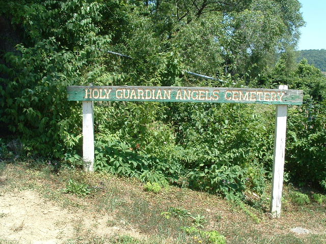
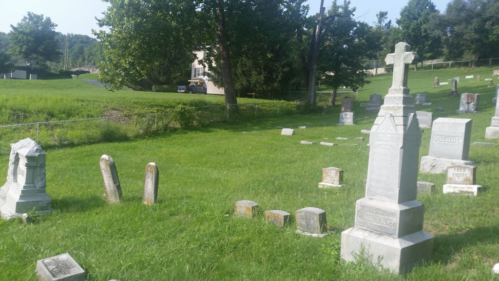
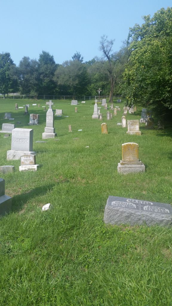
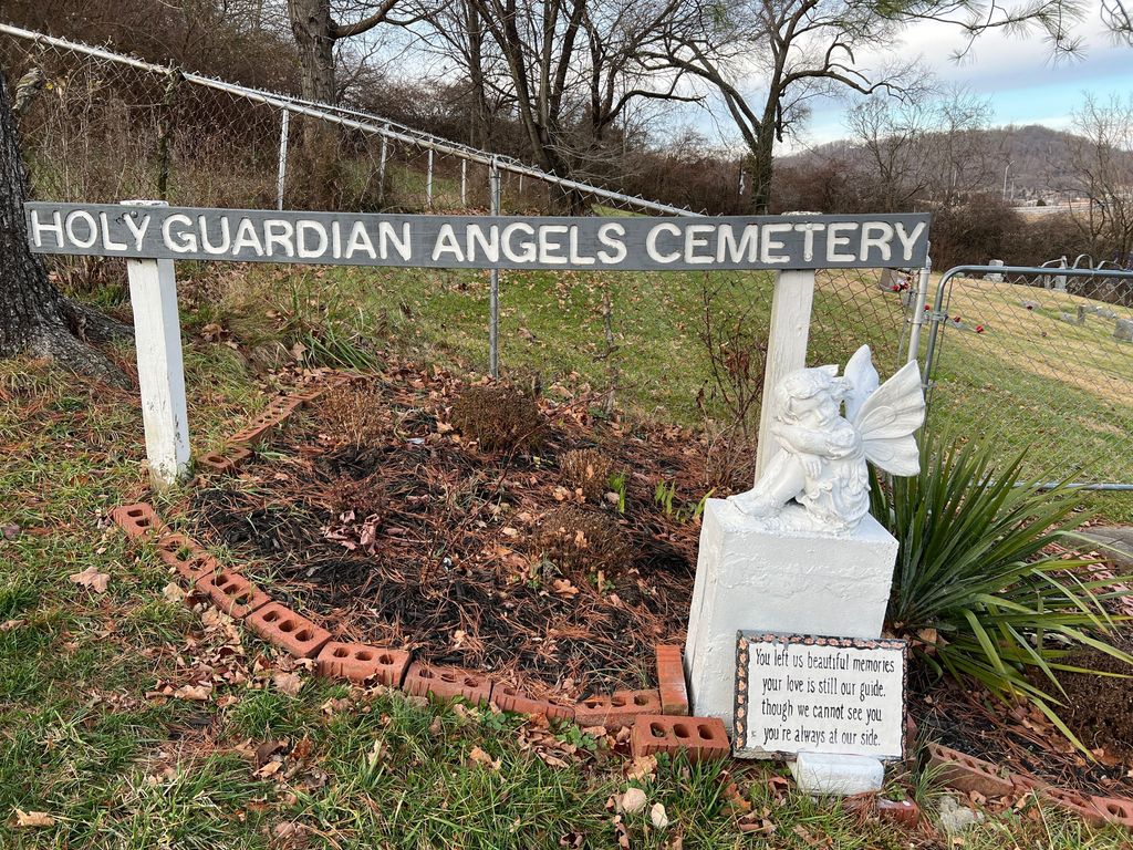
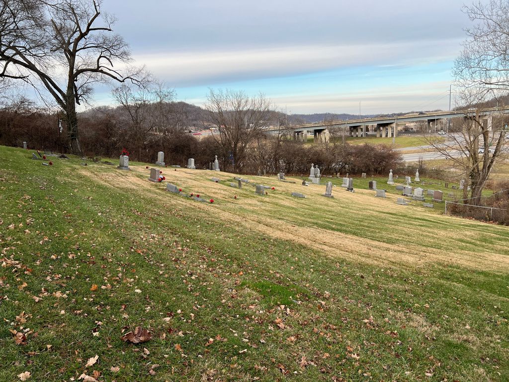
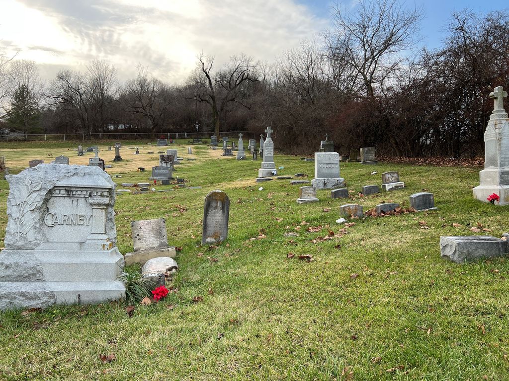
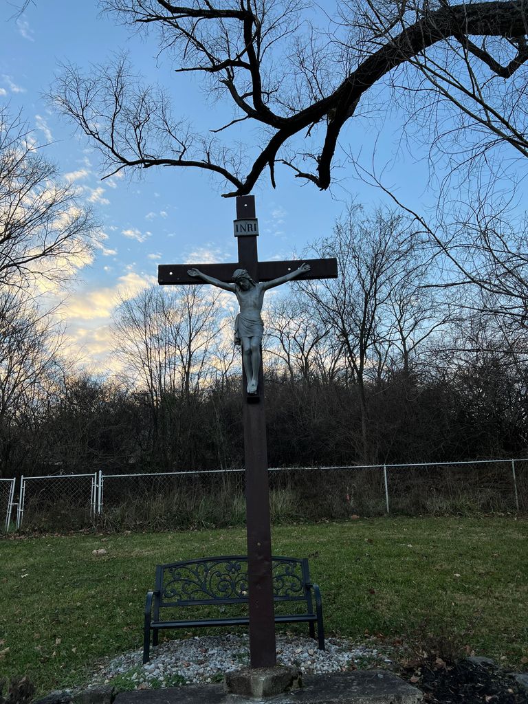
| Description | : | The cemetery entrance is off Sanfordtown Road, which is a short one-way drive off Dudley Road just west of its intersection with Madison Pike. The cemetery was established as the parish cemetery of the Holy Guardian Angels Catholic Church. The church was built on a tract of land in what was then Sanfordtown (now part of Edgewood) in 1864. In 1906, an additional two and a half acres were purchased to enlarge the cemetery. In 1958, the parish, renamed St. Pius X Parish, moved its church and school to its current location at 348 Dudley Road, Edgewood, Kentucky.... Read More |
frequently asked questions (FAQ):
-
Where is Holy Guardian Angels Cemetery?
Holy Guardian Angels Cemetery is located at Sanfordtown Road Edgewood, Kenton County ,Kentucky , 41017USA.
-
Holy Guardian Angels Cemetery cemetery's updated grave count on graveviews.com?
4 memorials
-
Where are the coordinates of the Holy Guardian Angels Cemetery?
Latitude: 39.0269444
Longitude: -84.5358330
Nearby Cemetories:
1. Northern Kentucky Police K-9 Memorial
Fort Mitchell, Kenton County, USA
Coordinate: 39.0387149, -84.5476438
2. Highland Pet Cemetery
Fort Mitchell, Kenton County, USA
Coordinate: 39.0384507, -84.5483047
3. Dedman Cemetery
Covington, Kenton County, USA
Coordinate: 39.0080560, -84.5294440
4. Saint Mary's Cemetery
Fort Mitchell, Kenton County, USA
Coordinate: 39.0438995, -84.5500031
5. Ellis Cemetery
Covington, Kenton County, USA
Coordinate: 39.0069440, -84.5288890
6. Highland Cemetery
Fort Mitchell, Kenton County, USA
Coordinate: 39.0475006, -84.5457993
7. Mother Of God Cemetery
Kenton Vale, Kenton County, USA
Coordinate: 39.0480995, -84.5171967
8. Scott Cemetery
Edgewood, Kenton County, USA
Coordinate: 39.0013890, -84.5422220
9. Webb Cemetery
Sunny Acres, Kenton County, USA
Coordinate: 39.0185470, -84.5035620
10. Perry Family Burying Ground
Lakeside Park, Kenton County, USA
Coordinate: 39.0333600, -84.5724130
11. Cox Cemetery
Taylor Mill, Kenton County, USA
Coordinate: 39.0005560, -84.5166670
12. Beechwood Farm Cemetery
Crestview Hills, Kenton County, USA
Coordinate: 39.0304020, -84.5756360
13. Dry Creek Baptist Church Cemetery
Edgewood, Kenton County, USA
Coordinate: 39.0183330, -84.5769440
14. Sisters of Notre Dame Cemetery
Park Hills, Kenton County, USA
Coordinate: 39.0637530, -84.5303120
15. Saint John Cemetery
Fort Mitchell, Kenton County, USA
Coordinate: 39.0619011, -84.5550003
16. Floral Hills Memorial Gardens
Taylor Mill, Kenton County, USA
Coordinate: 38.9986000, -84.5028000
17. Casey Cemetery
Edgewood, Kenton County, USA
Coordinate: 39.0254170, -84.5865000
18. Senour Cemetery
Edgewood, Kenton County, USA
Coordinate: 38.9905320, -84.5563500
19. LaBare Cemetery
Crescent Springs, Kenton County, USA
Coordinate: 39.0631570, -84.5596300
20. Buena Vista Cemetery
Covington, Kenton County, USA
Coordinate: 39.0595200, -84.5040000
21. Blume Cemetery
Edgewood, Kenton County, USA
Coordinate: 38.9877780, -84.5527780
22. Cain Cemetery
Edgewood, Kenton County, USA
Coordinate: 38.9905560, -84.5611110
23. William Richardson Cemetery
Taylor Mill, Kenton County, USA
Coordinate: 38.9905560, -84.5094440
24. Wayman Cemetery
Independence, Kenton County, USA
Coordinate: 38.9847220, -84.5347220