
| Memorials | : | 753 |
| Location | : | Fort Mitchell, Kenton County, USA |
| Phone | : | (859) 331-3220 |
| Website | : | highlandcemeterysite.wordpress.com |
| Coordinate | : | 39.0475006, -84.5457993 |
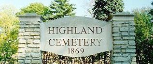
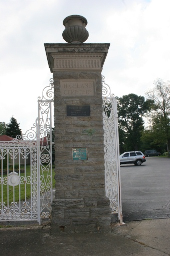
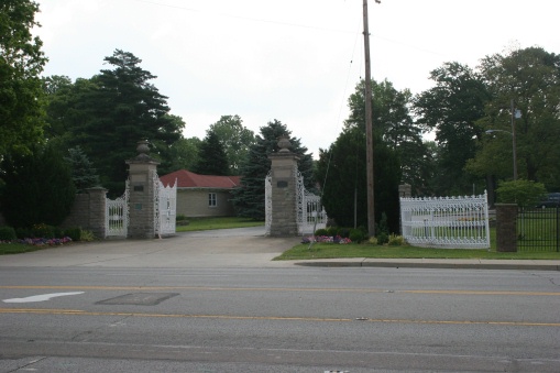
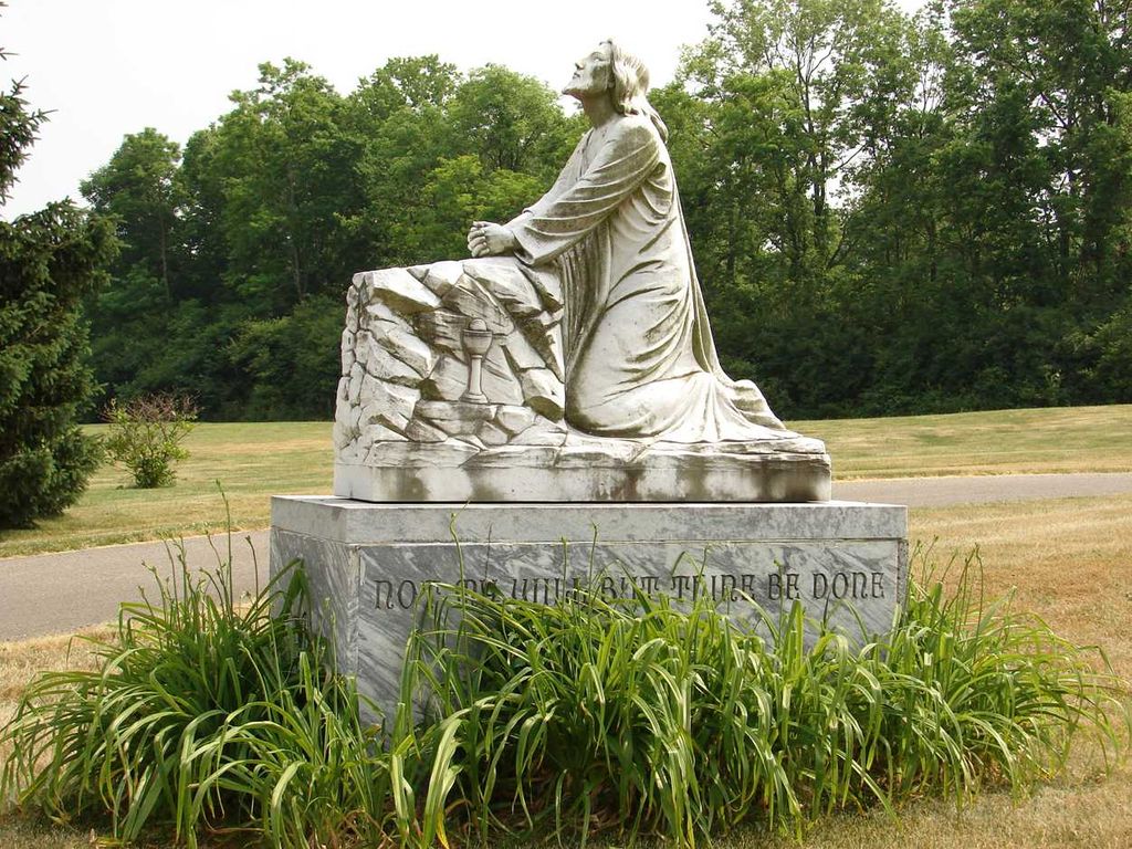
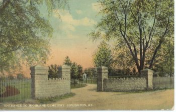
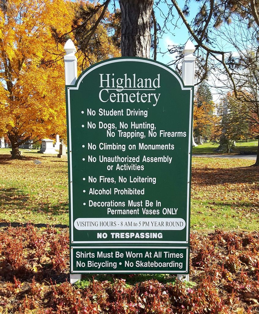
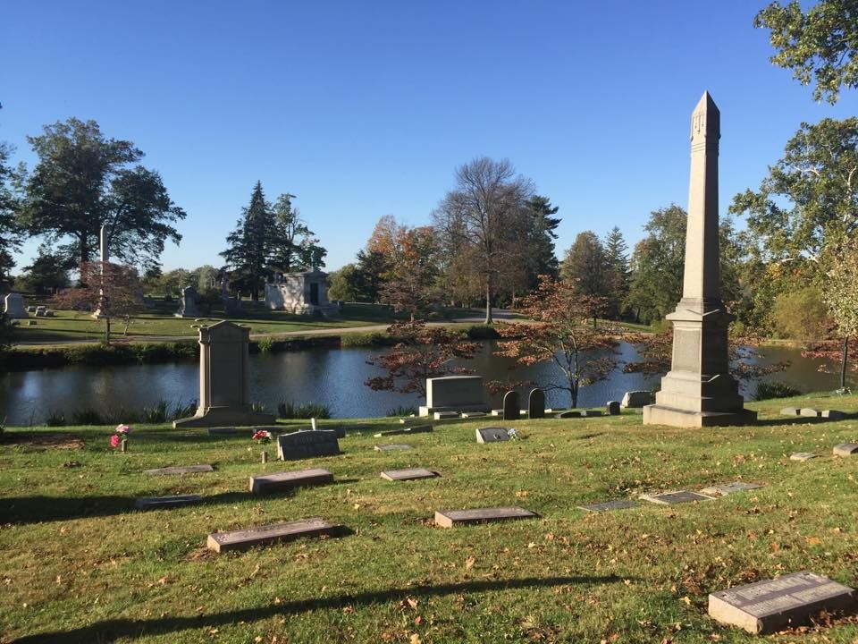
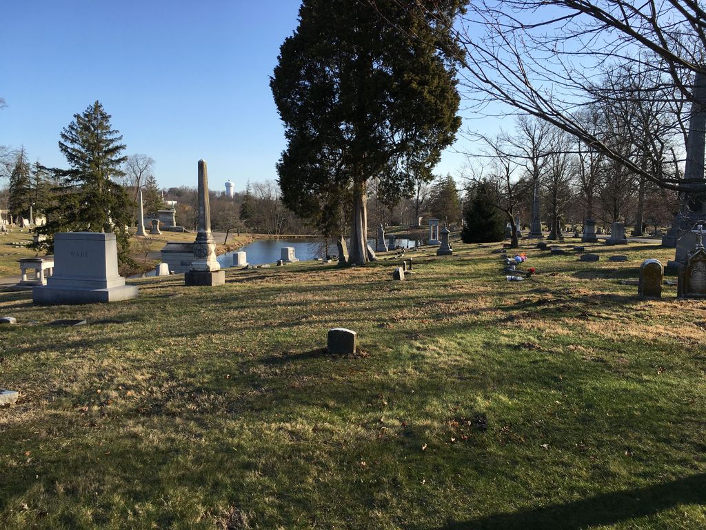
| Description | : | The cemetery was established in 1869 and is now 250 acres in size. The U.S. Geological Survey (USGS) Geographic Names Information System (GNIS) feature ID for the cemetery is 494202 (Highland Cemetery). |
frequently asked questions (FAQ):
-
Where is Highland Cemetery?
Highland Cemetery is located at 2167 Dixie Highway Fort Mitchell, Kenton County ,Kentucky , 41017-2998USA.
-
Highland Cemetery cemetery's updated grave count on graveviews.com?
736 memorials
-
Where are the coordinates of the Highland Cemetery?
Latitude: 39.0475006
Longitude: -84.5457993
Nearby Cemetories:
1. Saint Mary's Cemetery
Fort Mitchell, Kenton County, USA
Coordinate: 39.0438995, -84.5500031
2. Northern Kentucky Police K-9 Memorial
Fort Mitchell, Kenton County, USA
Coordinate: 39.0387149, -84.5476438
3. Highland Pet Cemetery
Fort Mitchell, Kenton County, USA
Coordinate: 39.0384507, -84.5483047
4. Saint John Cemetery
Fort Mitchell, Kenton County, USA
Coordinate: 39.0619011, -84.5550003
5. LaBare Cemetery
Crescent Springs, Kenton County, USA
Coordinate: 39.0631570, -84.5596300
6. Sisters of Notre Dame Cemetery
Park Hills, Kenton County, USA
Coordinate: 39.0637530, -84.5303120
7. Holy Guardian Angels Cemetery
Edgewood, Kenton County, USA
Coordinate: 39.0269444, -84.5358330
8. Mother Of God Cemetery
Kenton Vale, Kenton County, USA
Coordinate: 39.0480995, -84.5171967
9. Saldridge Cemetery
Crescent Springs, Kenton County, USA
Coordinate: 39.0620860, -84.5690090
10. Perry Family Burying Ground
Lakeside Park, Kenton County, USA
Coordinate: 39.0333600, -84.5724130
11. Flournoy Family Cemetery
Crescent Springs, Kenton County, USA
Coordinate: 39.0672830, -84.5706660
12. Reinhart Family Cemetery
Crescent Springs, Kenton County, USA
Coordinate: 39.0672510, -84.5707150
13. Beechwood Farm Cemetery
Crestview Hills, Kenton County, USA
Coordinate: 39.0304020, -84.5756360
14. Wilson Cemetery
Covington, Kenton County, USA
Coordinate: 39.0786110, -84.5438900
15. Montague Cemetery
Covington, Kenton County, USA
Coordinate: 39.0805560, -84.5380550
16. Buena Vista Cemetery
Covington, Kenton County, USA
Coordinate: 39.0595200, -84.5040000
17. Gardner-Harris Cemetery
Bromley, Kenton County, USA
Coordinate: 39.0807991, -84.5586014
18. Linden Grove Cemetery
Covington, Kenton County, USA
Coordinate: 39.0738983, -84.5152969
19. Cleveland-McKay Family Cemetery
Villa Hills, Kenton County, USA
Coordinate: 39.0736230, -84.5802230
20. Dry Creek Baptist Church Cemetery
Edgewood, Kenton County, USA
Coordinate: 39.0183330, -84.5769440
21. Casey Cemetery
Edgewood, Kenton County, USA
Coordinate: 39.0254170, -84.5865000
22. Dedman Cemetery
Covington, Kenton County, USA
Coordinate: 39.0080560, -84.5294440
23. Cathedral Basilica of the Assumption
Covington, Kenton County, USA
Coordinate: 39.0781120, -84.5081700
24. Ellis Cemetery
Covington, Kenton County, USA
Coordinate: 39.0069440, -84.5288890