
| Memorials | : | 0 |
| Location | : | Blacktoft, East Riding of Yorkshire Unitary Authority, England |
| Coordinate | : | 53.7082510, -0.7271700 |
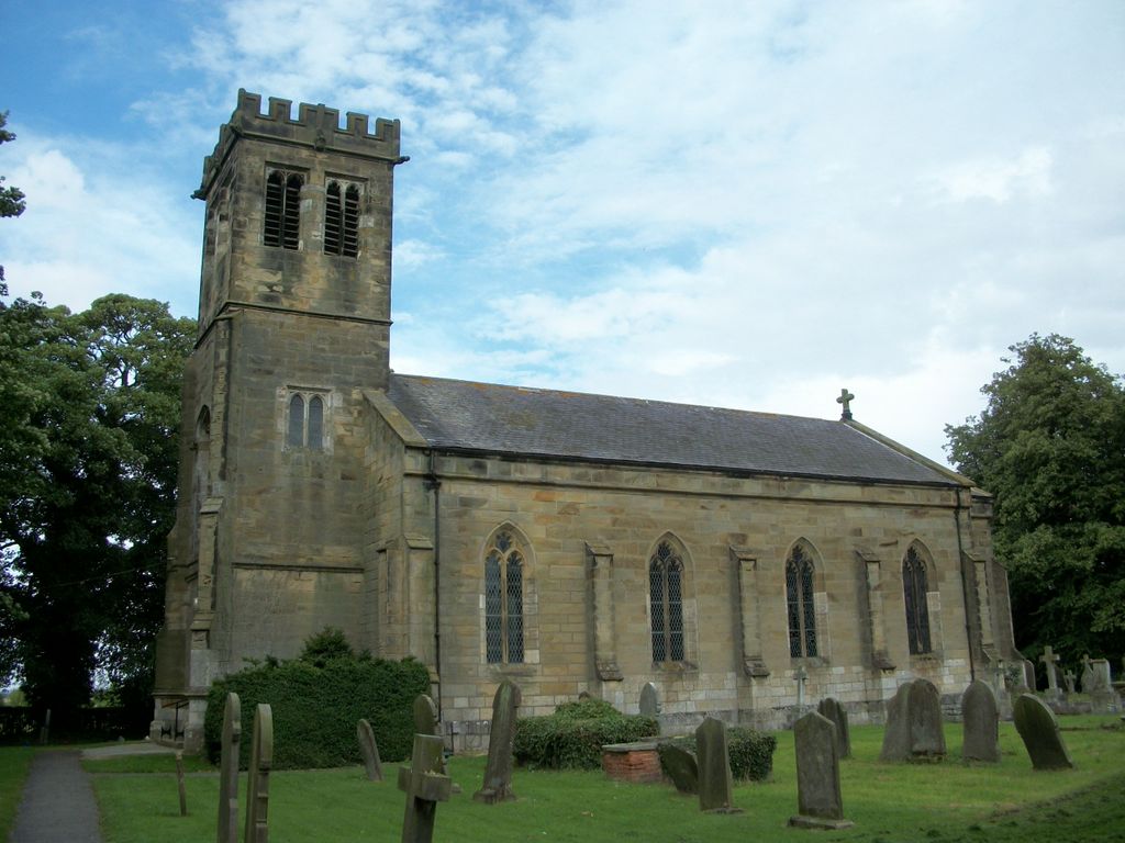
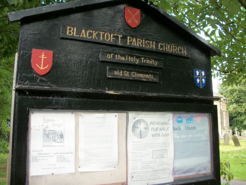
| Description | : | There was a church here from the 12th century. During the 'Great wind' of 1839 the tower crashed in to the nave. It was then decided to build the present church. Designed by John Harper of York it was built in 1841-2 in fine ashlar stone. Simple Gothix box pews and west gallery. Stained glass windows include two fine mid-20th century windows by Harry W Harvey. |
frequently asked questions (FAQ):
-
Where is Holy Trinity Churchyard?
Holy Trinity Churchyard is located at Blacktoft, East Riding of Yorkshire Unitary Authority ,East Riding of Yorkshire ,England.
-
Holy Trinity Churchyard cemetery's updated grave count on graveviews.com?
0 memorials
-
Where are the coordinates of the Holy Trinity Churchyard?
Latitude: 53.7082510
Longitude: -0.7271700
Nearby Cemetories:
1. All Saints Churchyard
Adlingfleet, East Riding of Yorkshire Unitary Authority, England
Coordinate: 53.6786760, -0.7238110
2. Alkborough Cemetery
Alkborough, North Lincolnshire Unitary Authority, England
Coordinate: 53.6816460, -0.6686090
3. St Peter Churchyard and Church Cemetery
Laxton, East Riding of Yorkshire Unitary Authority, England
Coordinate: 53.7196250, -0.8000900
4. St Mary Churchyard
Broomfleet, East Riding of Yorkshire Unitary Authority, England
Coordinate: 53.7338120, -0.6649730
5. St Mary the Virgin Church
Fockerby, North Lincolnshire Unitary Authority, England
Coordinate: 53.6613050, -0.7138730
6. St John the Baptist
Whitton, North Lincolnshire Unitary Authority, England
Coordinate: 53.7093390, -0.6342340
7. St Andrew's Church
Burton upon Stather, North Lincolnshire Unitary Authority, England
Coordinate: 53.6501180, -0.6850550
8. St Oswald Church
Luddington, North Lincolnshire Unitary Authority, England
Coordinate: 53.6448740, -0.7387490
9. St Michael Churchyard
Eastrington, East Riding of Yorkshire Unitary Authority, England
Coordinate: 53.7599690, -0.7931110
10. Eastrington Cemetery
Eastrington, East Riding of Yorkshire Unitary Authority, England
Coordinate: 53.7606920, -0.7922500
11. Goole Cemetery
Goole, East Riding of Yorkshire Unitary Authority, England
Coordinate: 53.7105940, -0.8513370
12. St Mary the Virgin Churchyard
Hook, East Riding of Yorkshire Unitary Authority, England
Coordinate: 53.7207270, -0.8510590
13. Hook Cemetery
Hook, East Riding of Yorkshire Unitary Authority, England
Coordinate: 53.7204300, -0.8525380
14. St Bartholomews Churchyard
Eastoft, North Lincolnshire Unitary Authority, England
Coordinate: 53.6397700, -0.7823500
15. All Saints Churchyard
Winteringham, North Lincolnshire Unitary Authority, England
Coordinate: 53.6904182, -0.6010190
16. All Saints Churchyard
Winteringham, North Lincolnshire Unitary Authority, England
Coordinate: 53.6902800, -0.6010700
17. St Anne Churchyard
Ellerker, East Riding of Yorkshire Unitary Authority, England
Coordinate: 53.7527200, -0.6034700
18. St. John the Evangelist Churchyard
Goole, East Riding of Yorkshire Unitary Authority, England
Coordinate: 53.7024600, -0.8719260
19. All Saints' Churchyard
Flixborough, North Lincolnshire Unitary Authority, England
Coordinate: 53.6247100, -0.6819480
20. Howden Minster Churchyard
Howden, East Riding of Yorkshire Unitary Authority, England
Coordinate: 53.7449550, -0.8670300
21. Catholic Church of The Sacred Heart
Howden, East Riding of Yorkshire Unitary Authority, England
Coordinate: 53.7428360, -0.8709800
22. St Marks Church
Amcotts, North Lincolnshire Unitary Authority, England
Coordinate: 53.6166950, -0.7088900
23. All Saints Churchyard
Winterton, North Lincolnshire Unitary Authority, England
Coordinate: 53.6555710, -0.5968640
24. All Saints Churchyard Old
Flixborough, North Lincolnshire Unitary Authority, England
Coordinate: 53.6178950, -0.6754930