
| Memorials | : | 0 |
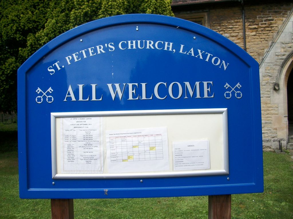
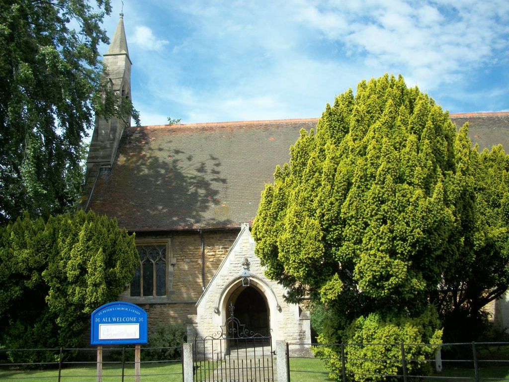
| Location | : | Laxton, East Riding of Yorkshire Unitary Authority, England |
| Coordinate | : | 53.7196250, -0.8000900 |
| Description | : | The Church Cemetery for St Peter parish is located across the road from the Churchyard. |
frequently asked questions (FAQ):
-
Where is St Peter Churchyard and Church Cemetery?
St Peter Churchyard and Church Cemetery is located at Laxton, East Riding of Yorkshire Unitary Authority ,East Riding of Yorkshire ,England.
-
St Peter Churchyard and Church Cemetery cemetery's updated grave count on graveviews.com?
0 memorials
-
Where are the coordinates of the St Peter Churchyard and Church Cemetery?
Latitude: 53.7196250
Longitude: -0.8000900
Nearby Cemetories:
1. St Mary the Virgin Churchyard
Hook, East Riding of Yorkshire Unitary Authority, England
Coordinate: 53.7207270, -0.8510590
2. Hook Cemetery
Hook, East Riding of Yorkshire Unitary Authority, England
Coordinate: 53.7204300, -0.8525380
3. Goole Cemetery
Goole, East Riding of Yorkshire Unitary Authority, England
Coordinate: 53.7105940, -0.8513370
4. St Michael Churchyard
Eastrington, East Riding of Yorkshire Unitary Authority, England
Coordinate: 53.7599690, -0.7931110
5. Eastrington Cemetery
Eastrington, East Riding of Yorkshire Unitary Authority, England
Coordinate: 53.7606920, -0.7922500
6. Holy Trinity Churchyard
Blacktoft, East Riding of Yorkshire Unitary Authority, England
Coordinate: 53.7082510, -0.7271700
7. St. John the Evangelist Churchyard
Goole, East Riding of Yorkshire Unitary Authority, England
Coordinate: 53.7024600, -0.8719260
8. Howden Minster Churchyard
Howden, East Riding of Yorkshire Unitary Authority, England
Coordinate: 53.7449550, -0.8670300
9. Catholic Church of The Sacred Heart
Howden, East Riding of Yorkshire Unitary Authority, England
Coordinate: 53.7428360, -0.8709800
10. Howden Cemetery
Howden, East Riding of Yorkshire Unitary Authority, England
Coordinate: 53.7438890, -0.8770090
11. St David Churchyard
Airmyn, East Riding of Yorkshire Unitary Authority, England
Coordinate: 53.7178030, -0.9016700
12. All Saints Churchyard
Adlingfleet, East Riding of Yorkshire Unitary Authority, England
Coordinate: 53.6786760, -0.7238110
13. St Mary the Virgin Church
Fockerby, North Lincolnshire Unitary Authority, England
Coordinate: 53.6613050, -0.7138730
14. St Bartholomews Churchyard
Eastoft, North Lincolnshire Unitary Authority, England
Coordinate: 53.6397700, -0.7823500
15. St Mary Churchyard
Broomfleet, East Riding of Yorkshire Unitary Authority, England
Coordinate: 53.7338120, -0.6649730
16. St Oswald Church
Luddington, North Lincolnshire Unitary Authority, England
Coordinate: 53.6448740, -0.7387490
17. Alkborough Cemetery
Alkborough, North Lincolnshire Unitary Authority, England
Coordinate: 53.6816460, -0.6686090
18. Barmby on the Marsh Parish Burial Ground
Barmby on the Marsh, East Riding of Yorkshire Unitary Authority, England
Coordinate: 53.7472990, -0.9401910
19. St. Helen's Churchyard
Barmby on the Marsh, East Riding of Yorkshire Unitary Authority, England
Coordinate: 53.7476490, -0.9549090
20. St Andrew's Church
Burton upon Stather, North Lincolnshire Unitary Authority, England
Coordinate: 53.6501180, -0.6850550
21. St John the Baptist
Whitton, North Lincolnshire Unitary Authority, England
Coordinate: 53.7093390, -0.6342340
22. Friends Burial Ground
Drax, Selby District, England
Coordinate: 53.7291640, -0.9771490
23. St Peter and St Paul Churchyard
Drax, Selby District, England
Coordinate: 53.7293790, -0.9771560
24. Drax Cemetery
Drax, Selby District, England
Coordinate: 53.7272540, -0.9875330