
| Memorials | : | 0 |
| Location | : | Howden, East Riding of Yorkshire Unitary Authority, England |
| Coordinate | : | 53.7449550, -0.8670300 |
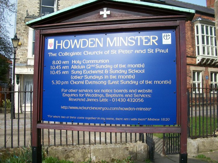
| Description | : | Howden Minster is one of the largest churches in the East Riding of Yorkshire. The western end of the Minster serves as the parish church for the town of Howden and surrounding villages. St Peter’s Church at Howden was originally an Anglo-Saxon foundation. Following the Norman Conquest of 1066, it was granted by William I to Durham Priory. In 1267, the Bishop of Durham decided that the church should become collegiate, that is, served by a body (or college) of priests known as canons, who did not belong to a religious order. The church was endowed with six nearby... Read More |
frequently asked questions (FAQ):
-
Where is Howden Minster Churchyard?
Howden Minster Churchyard is located at Howden, East Riding of Yorkshire Unitary Authority ,East Riding of Yorkshire ,England.
-
Howden Minster Churchyard cemetery's updated grave count on graveviews.com?
0 memorials
-
Where are the coordinates of the Howden Minster Churchyard?
Latitude: 53.7449550
Longitude: -0.8670300
Nearby Cemetories:
1. Catholic Church of The Sacred Heart
Howden, East Riding of Yorkshire Unitary Authority, England
Coordinate: 53.7428360, -0.8709800
2. Howden Cemetery
Howden, East Riding of Yorkshire Unitary Authority, England
Coordinate: 53.7438890, -0.8770090
3. Hook Cemetery
Hook, East Riding of Yorkshire Unitary Authority, England
Coordinate: 53.7204300, -0.8525380
4. St Mary the Virgin Churchyard
Hook, East Riding of Yorkshire Unitary Authority, England
Coordinate: 53.7207270, -0.8510590
5. St David Churchyard
Airmyn, East Riding of Yorkshire Unitary Authority, England
Coordinate: 53.7178030, -0.9016700
6. Goole Cemetery
Goole, East Riding of Yorkshire Unitary Authority, England
Coordinate: 53.7105940, -0.8513370
7. St. John the Evangelist Churchyard
Goole, East Riding of Yorkshire Unitary Authority, England
Coordinate: 53.7024600, -0.8719260
8. Barmby on the Marsh Parish Burial Ground
Barmby on the Marsh, East Riding of Yorkshire Unitary Authority, England
Coordinate: 53.7472990, -0.9401910
9. St Michael Churchyard
Eastrington, East Riding of Yorkshire Unitary Authority, England
Coordinate: 53.7599690, -0.7931110
10. Eastrington Cemetery
Eastrington, East Riding of Yorkshire Unitary Authority, England
Coordinate: 53.7606920, -0.7922500
11. St Peter Churchyard and Church Cemetery
Laxton, East Riding of Yorkshire Unitary Authority, England
Coordinate: 53.7196250, -0.8000900
12. St. Helen's Churchyard
Barmby on the Marsh, East Riding of Yorkshire Unitary Authority, England
Coordinate: 53.7476490, -0.9549090
13. St Peter and St Paul Churchyard
Drax, Selby District, England
Coordinate: 53.7293790, -0.9771560
14. Friends Burial Ground
Drax, Selby District, England
Coordinate: 53.7291640, -0.9771490
15. St Mary the Virgin Churchyard
Hemingbrough, Selby District, England
Coordinate: 53.7672100, -0.9796300
16. Drax Cemetery
Drax, Selby District, England
Coordinate: 53.7272540, -0.9875330
17. All Saints Churchyard
Bubwith, East Riding of Yorkshire Unitary Authority, England
Coordinate: 53.8170680, -0.9200130
18. Holy Trinity Churchyard
Blacktoft, East Riding of Yorkshire Unitary Authority, England
Coordinate: 53.7082510, -0.7271700
19. Carlton Cemetery
Carlton, Selby District, England
Coordinate: 53.7129500, -1.0199200
20. St Mary Roman Catholic Church
Carlton, Selby District, England
Coordinate: 53.7111900, -1.0199300
21. Holy Trinity Churchyard
East Cowick, East Riding of Yorkshire Unitary Authority, England
Coordinate: 53.6866220, -1.0000200
22. St Mary Churchyard
Carlton, Selby District, England
Coordinate: 53.7088060, -1.0209800
23. All Saints Churchyard
Aughton, East Riding of Yorkshire Unitary Authority, England
Coordinate: 53.8393490, -0.9352200
24. All Saints Churchyard
Adlingfleet, East Riding of Yorkshire Unitary Authority, England
Coordinate: 53.6786760, -0.7238110