
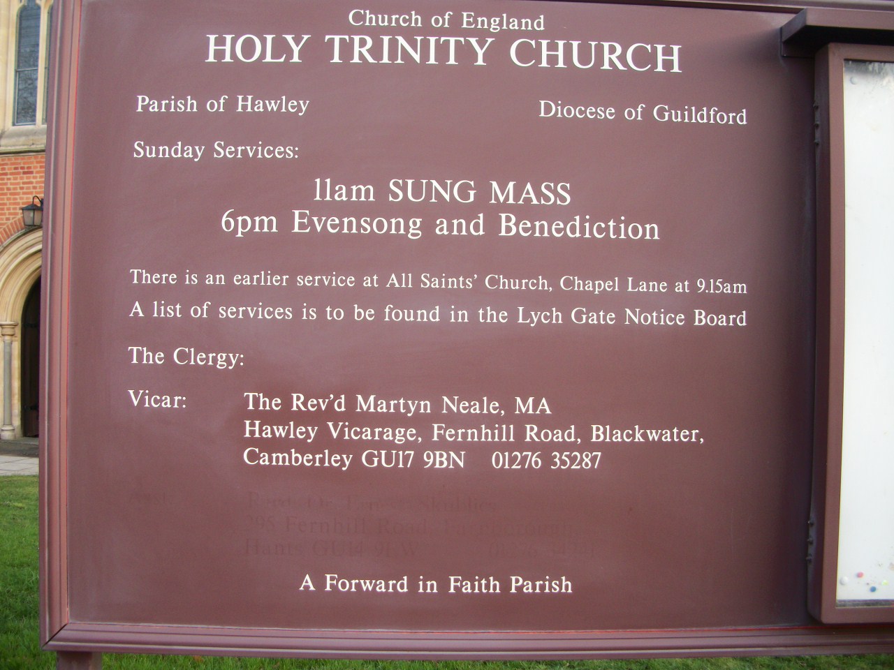
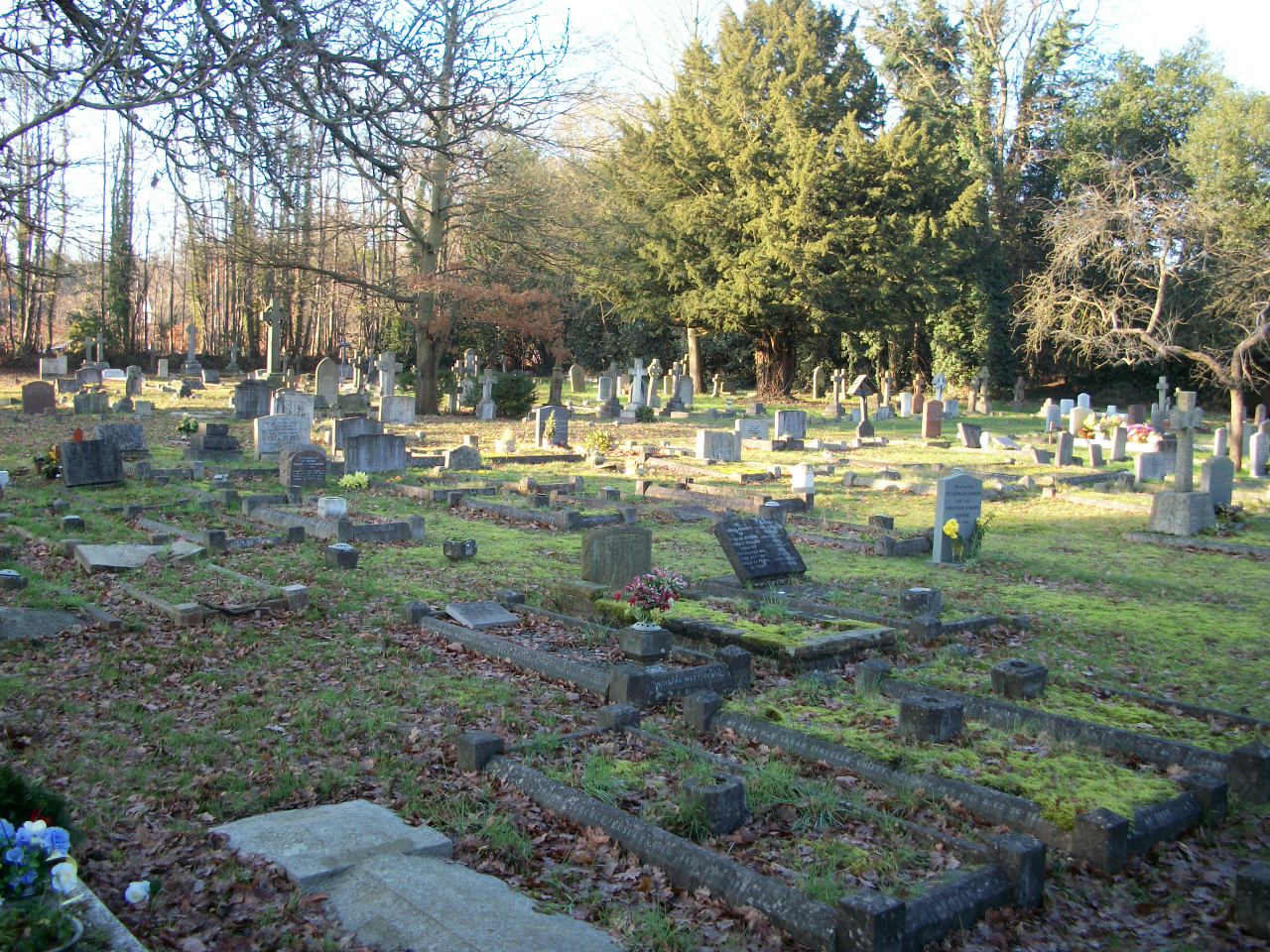
| Memorials | : | 539 |
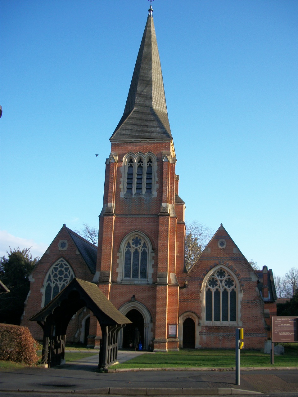
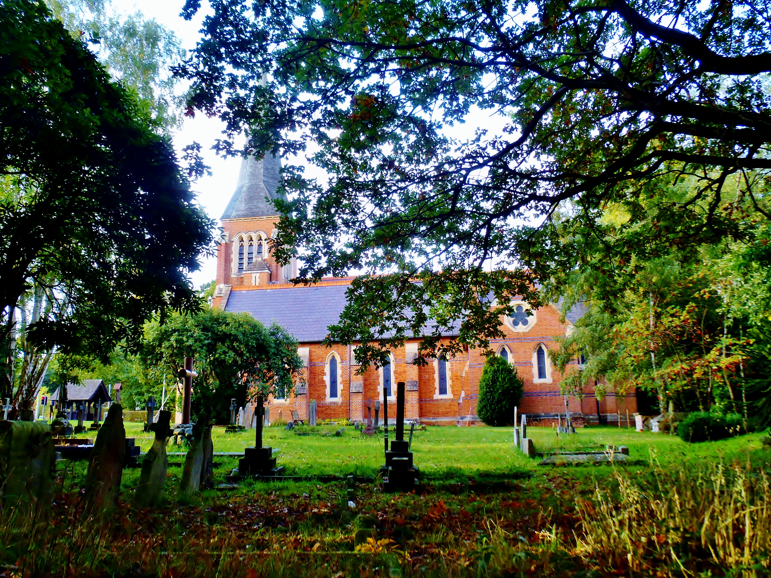
| Location | : | Blackwater, Hart District, England |
| Coordinate | : | 51.3269100, -0.7773800 |
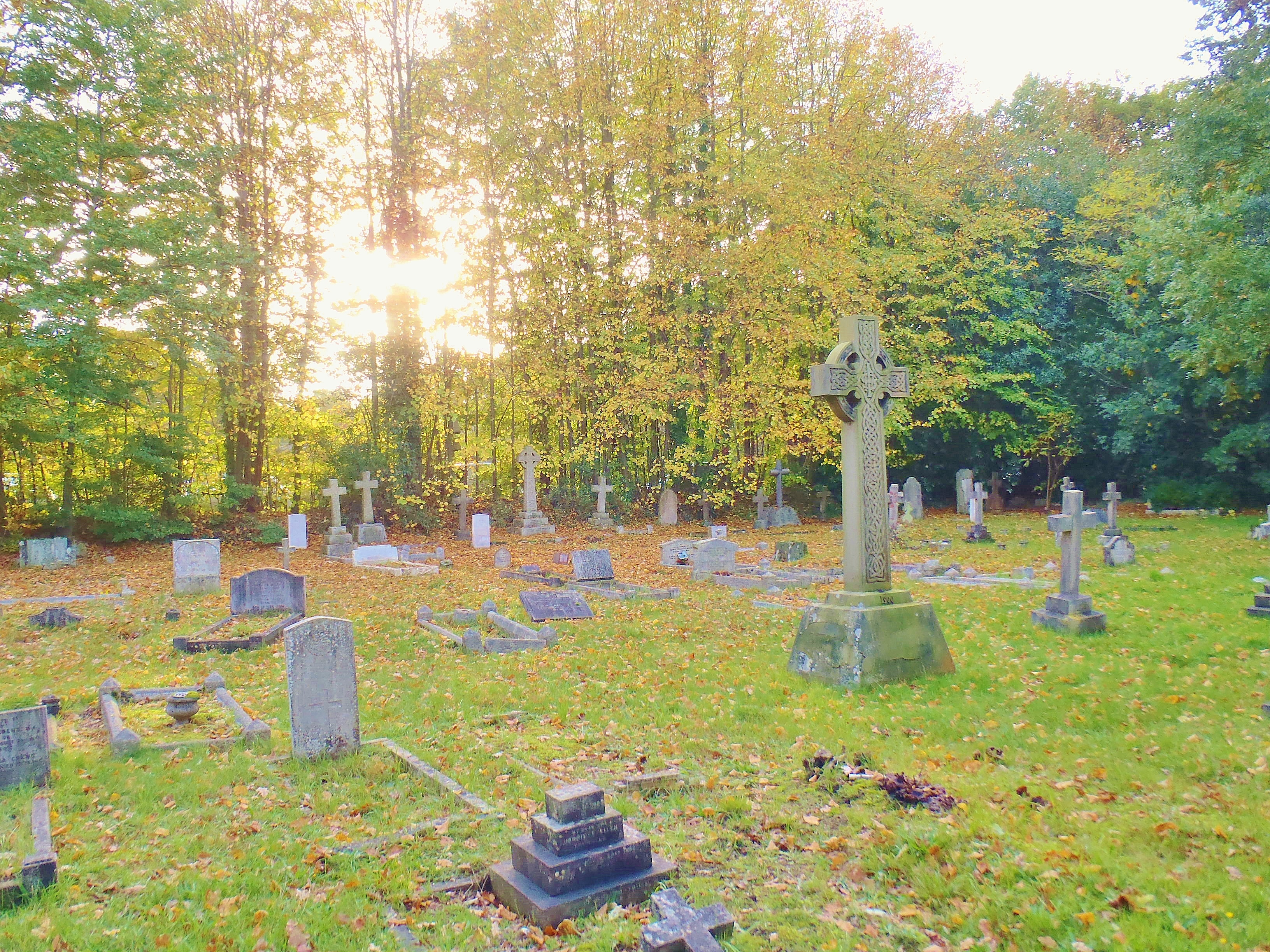
| Description | : | The churchyard is across the street from the Hawley Cemetery operated by the Blackwater and Hawley Town Council. |
frequently asked questions (FAQ):
-
Where is Holy Trinity Churchyard?
Holy Trinity Churchyard is located at Fernhill Road Blackwater, Hart District ,Hampshire , GU17 9BNEngland.
-
Holy Trinity Churchyard cemetery's updated grave count on graveviews.com?
539 memorials
-
Where are the coordinates of the Holy Trinity Churchyard?
Latitude: 51.3269100
Longitude: -0.7773800
Nearby Cemetories:
1. Hawley Cemetery
Blackwater, Hart District, England
Coordinate: 51.3280700, -0.7778700
2. St. Michael‘s Churchyard
Camberley, Surrey Heath Borough, England
Coordinate: 51.3367810, -0.7596560
3. Sandhurst Royal Military Academy Cemetery
Sandhurst, Bracknell Forest Borough, England
Coordinate: 51.3431310, -0.7675360
4. Heathlands Cemetery
Yateley, Hart District, England
Coordinate: 51.3308800, -0.8172500
5. St Peter's Churchyard
Frimley, Surrey Heath Borough, England
Coordinate: 51.3149770, -0.7393330
6. Church of Saint Francis of Assisi
Camberley, Surrey Heath Borough, England
Coordinate: 51.3311000, -0.7350400
7. Ship Lane Cemetery
Farnborough, Rushmoor Borough, England
Coordinate: 51.3057800, -0.7488900
8. St. John the Baptist Churchyard
Farnborough, Rushmoor Borough, England
Coordinate: 51.2973050, -0.7819310
9. St. Michael's and All Angels Churchyard
Sandhurst, Bracknell Forest Borough, England
Coordinate: 51.3498240, -0.8155500
10. St Michael's Abbey
Farnborough, Rushmoor Borough, England
Coordinate: 51.2971140, -0.7497110
11. St Peter Churchyard
Yateley, Hart District, England
Coordinate: 51.3411500, -0.8278000
12. Victoria Road Cemetery
Farnborough, Rushmoor Borough, England
Coordinate: 51.2941300, -0.7593900
13. St. Peter's Churchyard
Farnborough, Rushmoor Borough, England
Coordinate: 51.2924100, -0.7499300
14. Broadmoor Asylum Cemetery
Crowthorne, Bracknell Forest Borough, England
Coordinate: 51.3694160, -0.7793430
15. St. John the Baptist Churchyard
Crowthorne, Bracknell Forest Borough, England
Coordinate: 51.3682850, -0.7978840
16. Deepcut Military Cemetery
Deepcut, Surrey Heath Borough, England
Coordinate: 51.3062170, -0.7049060
17. All Saints Churchyard
Fleet, Hart District, England
Coordinate: 51.2838060, -0.8427500
18. St Sebastian Churchyard
Wokingham, Wokingham Borough, England
Coordinate: 51.3824820, -0.8167450
19. Hope Cemetery
Fleet, Hart District, England
Coordinate: 51.2827800, -0.8495300
20. Easthampstead Park Cemetery and Crematorium
Easthampstead, Bracknell Forest Borough, England
Coordinate: 51.3910490, -0.7793910
21. St James Churchyard
Finchampstead, Wokingham Borough, England
Coordinate: 51.3678500, -0.8625620
22. St Mary Churchyard
Eversley, Hart District, England
Coordinate: 51.3420150, -0.8827520
23. All Souls Churchyard
Hartfordbridge, Hart District, England
Coordinate: 51.3141800, -0.8861300
24. Fleet Cemetery
Fleet, Hart District, England
Coordinate: 51.2718100, -0.8523700