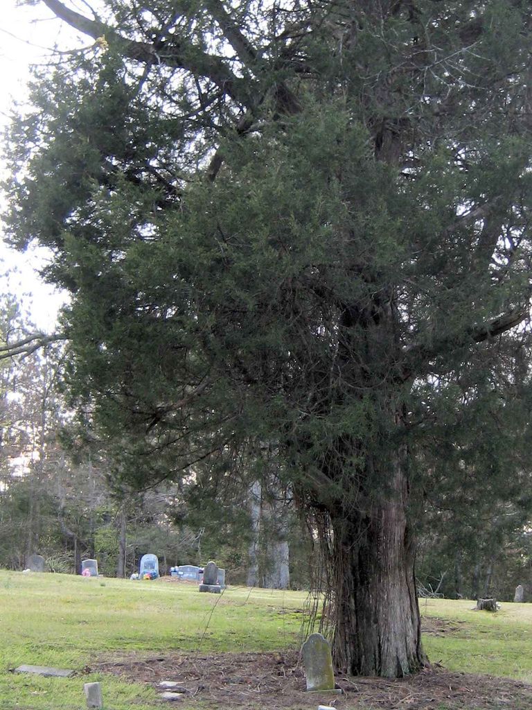
| Memorials | : | 0 |
| Location | : | Independence, Tate County, USA |
| Coordinate | : | 34.6744440, -89.7856500 |
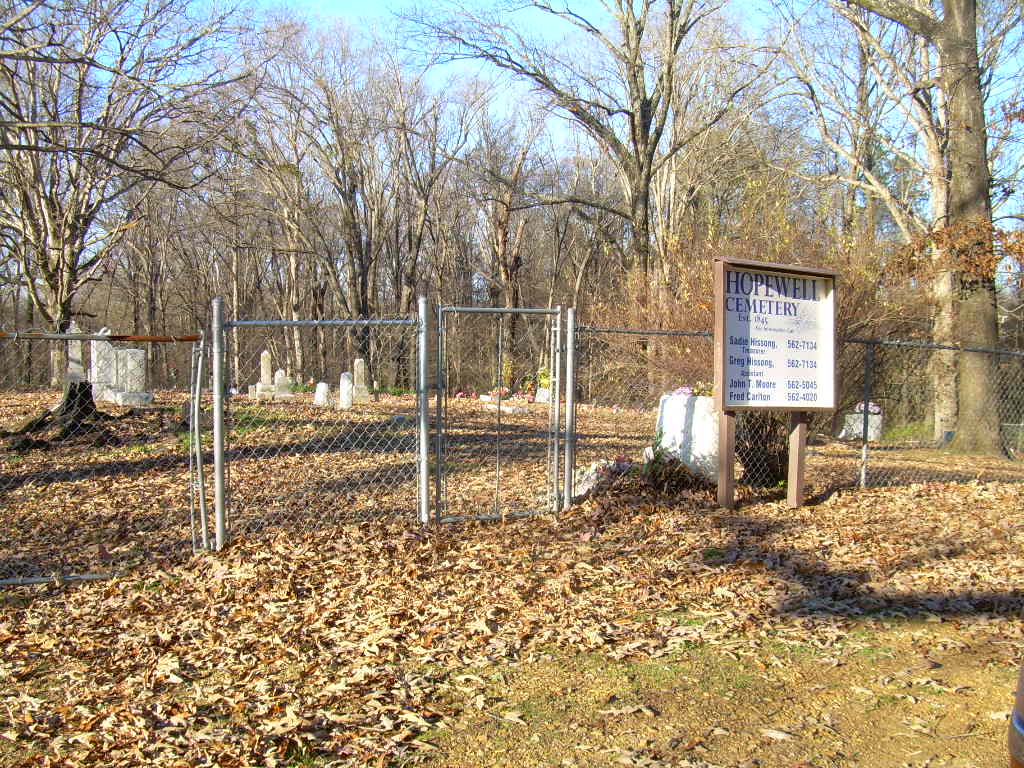
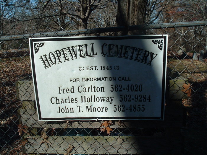
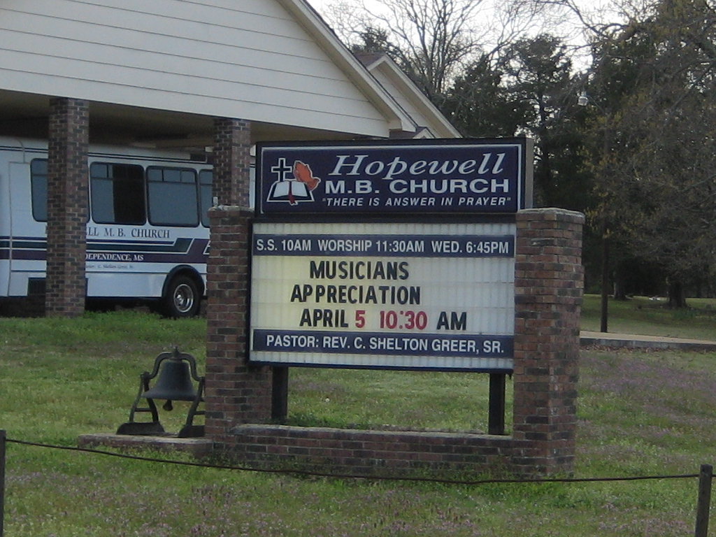
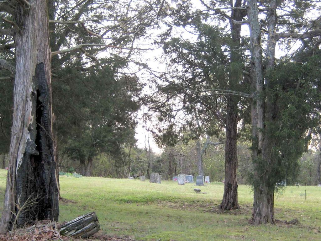
| Description | : | From the intersection of MS-306 E & MS-305, south of Independence, travel east on MS-306 E for 0.2 mi.; turning southeast (right) onto Old Memphis Oxford Rd., going 2.2 mi.; turning west (right) into the parking area of the current 'Hopewell M.B. Church', then head north (right) to the older pre-Civil War to present-time section, of this large 'deeded' cemetery of the former white Methodist congregation, as notated on USGS topo maps. |
frequently asked questions (FAQ):
-
Where is Hopewell Church Cemetery?
Hopewell Church Cemetery is located at 3915 Old Memphis Oxford Road Independence, Tate County ,Mississippi ,USA.
-
Hopewell Church Cemetery cemetery's updated grave count on graveviews.com?
0 memorials
-
Where are the coordinates of the Hopewell Church Cemetery?
Latitude: 34.6744440
Longitude: -89.7856500
Nearby Cemetories:
1. Sandidge Cemetery
Independence, Tate County, USA
Coordinate: 34.6738190, -89.7788960
2. Eavenson Bett Cemetery
Bett, Tate County, USA
Coordinate: 34.6874810, -89.7596930
3. Burford Cemetery
Coldwater, Tate County, USA
Coordinate: 34.6853720, -89.8199770
4. Mount Zion Cemetery
Independence, Tate County, USA
Coordinate: 34.6986008, -89.8080978
5. House Cemetery
Barr, Tate County, USA
Coordinate: 34.6390250, -89.7852380
6. Fredonia Cemetery
Coldwater, Tate County, USA
Coordinate: 34.6588650, -89.8288760
7. Thyatira Sunset Cemetery
Thyatira, Tate County, USA
Coordinate: 34.6389770, -89.7572090
8. Thyatira Cemetery
Thyatira, Tate County, USA
Coordinate: 34.6393470, -89.7562520
9. Jamison Cemetery
Independence, Tate County, USA
Coordinate: 34.7206130, -89.7771390
10. Hancock Cemetery
Independence, Tate County, USA
Coordinate: 34.7179480, -89.7636780
11. Wall Hill Church of Christ Cemetery
Independence, Tate County, USA
Coordinate: 34.7111930, -89.7494050
12. Zion Hill-Barr Church Cemetery
Tate County, USA
Coordinate: 34.6262520, -89.7849790
13. Brownlee Cemetery
Senatobia, Tate County, USA
Coordinate: 34.6265480, -89.8113390
14. Victory Baptist Church Cemetery
Coldwater, Tate County, USA
Coordinate: 34.7119850, -89.7306190
15. Roberts Chapel Cemetery
Tate County, USA
Coordinate: 34.7144530, -89.7329290
16. Hancock-Guy Cemetery
Independence, Tate County, USA
Coordinate: 34.7172780, -89.7297470
17. Carter Sunset Memorial Gardens
Tyro, Tate County, USA
Coordinate: 34.6349983, -89.7219009
18. Wright Cemetery
Looxahoma, Tate County, USA
Coordinate: 34.6291620, -89.8503950
19. Richardson Cemetery
Senatobia, Tate County, USA
Coordinate: 34.6727510, -89.6983950
20. New Garden Cemetery
Coldwater, Tate County, USA
Coordinate: 34.7471300, -89.7770200
21. Cathey Cemetery
Wyatte, Tate County, USA
Coordinate: 34.6314011, -89.7114029
22. Mims Cemetery
Wallhill, Marshall County, USA
Coordinate: 34.7156360, -89.7097420
23. Looxahoma Church of Christ Cemetery
Looxahoma, Tate County, USA
Coordinate: 34.6119930, -89.8361240
24. Hunter Cemetery
Aiken, Tate County, USA
Coordinate: 34.6258200, -89.7123200

