| Memorials | : | 0 |
| Location | : | Thyatira, Tate County, USA |
| Coordinate | : | 34.6389770, -89.7572090 |
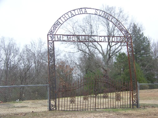
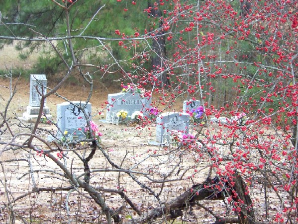
| Description | : | This is an Afro-American cemetery, separated from the white Thyatira Cemetery by a fence and a hedge. It is located 175 feet West of the white cemetery gate. From the intersection of Poag Rd. & MS-4, in Thyatira, travel north on Poag Rd. for 0.3 mi.; continuing onto Old Memphis Oxford Rd., going 150 yards; turning west (left) onto Old Hwy 4, going 0.15 mi. to this 'deeded' cemetery on the north (right) side of the road, as notated on USGS topo maps. |
frequently asked questions (FAQ):
-
Where is Thyatira Sunset Cemetery?
Thyatira Sunset Cemetery is located at Old Hwy 4 Thyatira, Tate County ,Mississippi ,USA.
-
Thyatira Sunset Cemetery cemetery's updated grave count on graveviews.com?
0 memorials
-
Where are the coordinates of the Thyatira Sunset Cemetery?
Latitude: 34.6389770
Longitude: -89.7572090
Nearby Cemetories:
1. Thyatira Cemetery
Thyatira, Tate County, USA
Coordinate: 34.6393470, -89.7562520
2. House Cemetery
Barr, Tate County, USA
Coordinate: 34.6390250, -89.7852380
3. Zion Hill-Barr Church Cemetery
Tate County, USA
Coordinate: 34.6262520, -89.7849790
4. Carter Sunset Memorial Gardens
Tyro, Tate County, USA
Coordinate: 34.6349983, -89.7219009
5. Cathey Cemetery
Wyatte, Tate County, USA
Coordinate: 34.6314011, -89.7114029
6. Sandidge Cemetery
Independence, Tate County, USA
Coordinate: 34.6738190, -89.7788960
7. Hunter Cemetery
Aiken, Tate County, USA
Coordinate: 34.6258200, -89.7123200
8. Independent M.B. Church Cemetery
Tyro, Tate County, USA
Coordinate: 34.6020280, -89.7398360
9. Hopewell Church Cemetery
Independence, Tate County, USA
Coordinate: 34.6744440, -89.7856500
10. Brownlee Cemetery
Senatobia, Tate County, USA
Coordinate: 34.6265480, -89.8113390
11. Wright-Sandidge Cemetery
Tyro, Tate County, USA
Coordinate: 34.5978278, -89.7279694
12. Eavenson Bett Cemetery
Bett, Tate County, USA
Coordinate: 34.6874810, -89.7596930
13. Richardson Cemetery
Senatobia, Tate County, USA
Coordinate: 34.6727510, -89.6983950
14. Mount Patient CME Church Cemetery
Tyro, Tate County, USA
Coordinate: 34.5887370, -89.7160400
15. Fredonia Cemetery
Coldwater, Tate County, USA
Coordinate: 34.6588650, -89.8288760
16. Mount Vernon Church Cemetery
Looxahoma, Tate County, USA
Coordinate: 34.5765310, -89.7735120
17. Falkner Cemetery
Wyatte, Tate County, USA
Coordinate: 34.6483370, -89.6766970
18. Tyro Church Cemetery
Tyro, Tate County, USA
Coordinate: 34.5825570, -89.7128080
19. McCravey Cemetery
Tyro, Tate County, USA
Coordinate: 34.5923000, -89.6976000
20. Burford Cemetery
Coldwater, Tate County, USA
Coordinate: 34.6853720, -89.8199770
21. Lewers Chapel Cemetery
Looxahoma, Tate County, USA
Coordinate: 34.5843040, -89.8098900
22. Looxahoma Church of Christ Cemetery
Looxahoma, Tate County, USA
Coordinate: 34.6119930, -89.8361240
23. Wall Hill Church of Christ Cemetery
Independence, Tate County, USA
Coordinate: 34.7111930, -89.7494050
24. Mount Zion Cemetery
Independence, Tate County, USA
Coordinate: 34.6986008, -89.8080978


