
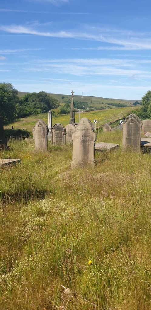
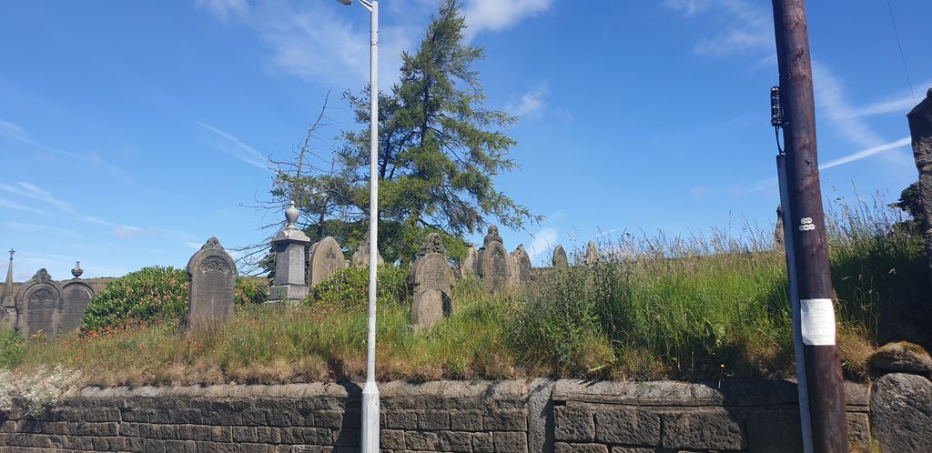
| Memorials | : | 0 |
| Location | : | Metropolitan Borough of Bradford, England |
| Coordinate | : | 53.8050236, -1.9327888 |
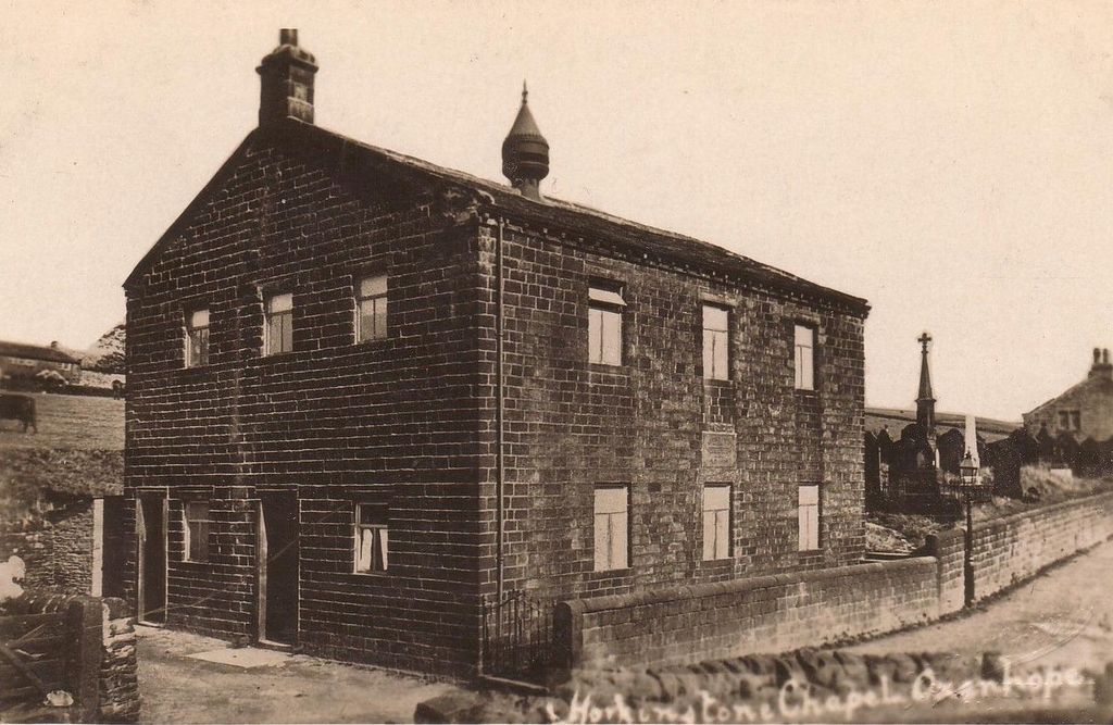
| Description | : | Located on the Junction of Denholme Road (B6141) and Black Moor Road. |
frequently asked questions (FAQ):
-
Where is Horkinstone Baptists Burial Ground?
Horkinstone Baptists Burial Ground is located at Denholme Road Metropolitan Borough of Bradford ,West Yorkshire , BD22 9SJEngland.
-
Horkinstone Baptists Burial Ground cemetery's updated grave count on graveviews.com?
0 memorials
-
Where are the coordinates of the Horkinstone Baptists Burial Ground?
Latitude: 53.8050236
Longitude: -1.9327888


Nearby Cemetories:
1. St. Mary the Virgin Churchyard
Oxenhope, Metropolitan Borough of Bradford, England
Coordinate: 53.8082633, -1.9556365
2. Oxenhope Cemetery
Oxenhope, Metropolitan Borough of Bradford, England
Coordinate: 53.8050500, -1.9652200
3. Denholme Shared Church
Denholme, Metropolitan Borough of Bradford, England
Coordinate: 53.8062745, -1.8949800
4. Denholme Methodist Chapelyard
Denholme, Metropolitan Borough of Bradford, England
Coordinate: 53.8050350, -1.8938640
5. St Paul Churchyard
Denholme, Metropolitan Borough of Bradford, England
Coordinate: 53.7971450, -1.8929770
6. Hall Green Baptist Chapel
Haworth, Metropolitan Borough of Bradford, England
Coordinate: 53.8285280, -1.9528130
7. Denholme Clough Primitive Methodist Burial Ground
Denholme, Metropolitan Borough of Bradford, England
Coordinate: 53.7883900, -1.8935500
8. St. Michael and All Angels Churchyard
Haworth, Metropolitan Borough of Bradford, England
Coordinate: 53.8311500, -1.9562350
9. St. John the Evangelist Churchyard
Cullingworth, Metropolitan Borough of Bradford, England
Coordinate: 53.8282300, -1.8991300
10. West Lane Baptist Chapel
Haworth, Metropolitan Borough of Bradford, England
Coordinate: 53.8324090, -1.9586480
11. Haworth Cemetery
Haworth, Metropolitan Borough of Bradford, England
Coordinate: 53.8301460, -1.9679580
12. Thornton Cemetery
Thornton, Metropolitan Borough of Bradford, England
Coordinate: 53.7923160, -1.8682330
13. Main Street Friends Burial Ground at Stanbury
Keighley, Metropolitan Borough of Bradford, England
Coordinate: 53.8294690, -1.9891640
14. Oakworth Wesleyan Methodist Cemetery
Oakworth, Metropolitan Borough of Bradford, England
Coordinate: 53.8454920, -1.9493540
15. St Matthew Churchyard
Wilsden, Metropolitan Borough of Bradford, England
Coordinate: 53.8165000, -1.8636600
16. Christ Church Churchyard
Oakworth, Metropolitan Borough of Bradford, England
Coordinate: 53.8459200, -1.9549100
17. Harden Rycroft Primitive Methodist Church
Keighley, Metropolitan Borough of Bradford, England
Coordinate: 53.8385220, -1.8830690
18. Mount Zion Methodist Chapelyard
Halifax, Metropolitan Borough of Calderdale, England
Coordinate: 53.7638870, -1.8979630
19. Bethesda Wesleyan Chapelyard
Thornton, Metropolitan Borough of Bradford, England
Coordinate: 53.7928800, -1.8551400
20. St. John's Churchyard
Bradshaw, Metropolitan Borough of Calderdale, England
Coordinate: 53.7649130, -1.8854840
21. Oakworth Crematorium
Keighley, Metropolitan Borough of Bradford, England
Coordinate: 53.8499320, -1.9661240
22. Slack Lane Baptist Cemetery
Oakworth, Metropolitan Borough of Bradford, England
Coordinate: 53.8527400, -1.9568800
23. Wilsden Cemetery
Wilsden, Metropolitan Borough of Bradford, England
Coordinate: 53.8225100, -1.8518800
24. St. John the Evangelist Churchyard
Ingrow, Metropolitan Borough of Bradford, England
Coordinate: 53.8552100, -1.9163280