
| Memorials | : | 1 |
| Location | : | Haworth, Metropolitan Borough of Bradford, England |
| Coordinate | : | 53.8301460, -1.9679580 |
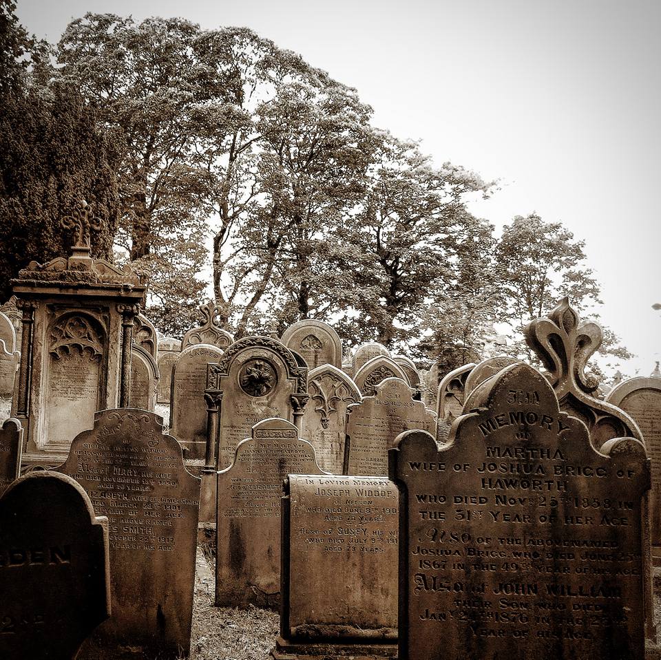
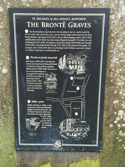
| Description | : | This cemetery was built in 1873 when the overcrowded graveyard of St. Michael and All Angels graveyard next to the Bronte Parsonage (Where Charlotte Bronte and Family are buried) was closed. |
frequently asked questions (FAQ):
-
Where is Haworth Cemetery?
Haworth Cemetery is located at Cemetery Road Haworth, Metropolitan Borough of Bradford ,West Yorkshire , BD22, UKEngland.
-
Haworth Cemetery cemetery's updated grave count on graveviews.com?
1 memorials
-
Where are the coordinates of the Haworth Cemetery?
Latitude: 53.8301460
Longitude: -1.9679580
Nearby Cemetories:
1. West Lane Baptist Chapel
Haworth, Metropolitan Borough of Bradford, England
Coordinate: 53.8324090, -1.9586480
2. St. Michael and All Angels Churchyard
Haworth, Metropolitan Borough of Bradford, England
Coordinate: 53.8311500, -1.9562350
3. Hall Green Baptist Chapel
Haworth, Metropolitan Borough of Bradford, England
Coordinate: 53.8285280, -1.9528130
4. Main Street Friends Burial Ground at Stanbury
Keighley, Metropolitan Borough of Bradford, England
Coordinate: 53.8294690, -1.9891640
5. Christ Church Churchyard
Oakworth, Metropolitan Borough of Bradford, England
Coordinate: 53.8459200, -1.9549100
6. Oakworth Wesleyan Methodist Cemetery
Oakworth, Metropolitan Borough of Bradford, England
Coordinate: 53.8454920, -1.9493540
7. Oakworth Crematorium
Keighley, Metropolitan Borough of Bradford, England
Coordinate: 53.8499320, -1.9661240
8. St. Mary the Virgin Churchyard
Oxenhope, Metropolitan Borough of Bradford, England
Coordinate: 53.8082633, -1.9556365
9. Slack Lane Baptist Cemetery
Oakworth, Metropolitan Borough of Bradford, England
Coordinate: 53.8527400, -1.9568800
10. Oxenhope Cemetery
Oxenhope, Metropolitan Borough of Bradford, England
Coordinate: 53.8050500, -1.9652200
11. Horkinstone Baptists Burial Ground
Metropolitan Borough of Bradford, England
Coordinate: 53.8050236, -1.9327888
12. Laycock Wesleyan Methodist Cemetery
Laycock, Metropolitan Borough of Bradford, England
Coordinate: 53.8651200, -1.9527500
13. St. John the Evangelist Churchyard
Ingrow, Metropolitan Borough of Bradford, England
Coordinate: 53.8552100, -1.9163280
14. St. John the Evangelist Churchyard
Cullingworth, Metropolitan Borough of Bradford, England
Coordinate: 53.8282300, -1.8991300
15. Friends Burial Ground at Calversike Hill
Kildwick, Craven District, England
Coordinate: 53.8661050, -1.9195670
16. Keighley Shared Churchyard
Keighley, Metropolitan Borough of Bradford, England
Coordinate: 53.8651000, -1.9095580
17. Denholme Shared Church
Denholme, Metropolitan Borough of Bradford, England
Coordinate: 53.8062745, -1.8949800
18. Denholme Methodist Chapelyard
Denholme, Metropolitan Borough of Bradford, England
Coordinate: 53.8050350, -1.8938640
19. Harden Rycroft Primitive Methodist Church
Keighley, Metropolitan Borough of Bradford, England
Coordinate: 53.8385220, -1.8830690
20. St Paul Churchyard
Denholme, Metropolitan Borough of Bradford, England
Coordinate: 53.7971450, -1.8929770
21. Utley Cemetery
Keighley, Metropolitan Borough of Bradford, England
Coordinate: 53.8809160, -1.9141230
22. Denholme Clough Primitive Methodist Burial Ground
Denholme, Metropolitan Borough of Bradford, England
Coordinate: 53.7883900, -1.8935500
23. St Matthew Churchyard
Wilsden, Metropolitan Borough of Bradford, England
Coordinate: 53.8165000, -1.8636600
24. St. Thomas's Churchyard
Sutton-in-Craven, Craven District, England
Coordinate: 53.8937020, -1.9906290