
| Memorials | : | 1 |
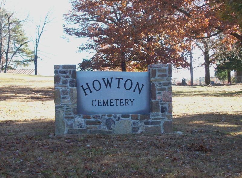
| Location | : | Montgomery County, USA |
| Coordinate | : | 34.4550018, -93.4439011 |
| Description | : | Directions from book, "Montgomery County, Arkansas Cemeteries" compiled and published by the Montgomery County Historical Society, PO Box 578, Mt. Ida, AR 71957-0578. All rights reserved, December 1997: Go east of Mt. Ida about 8 miles. Turn right on Logan Gap Road. At first fork, turn right. About 1/2 mile to next fork. Take left. Stay on main road about 8 miles. Cemetery is on the left. |
frequently asked questions (FAQ):
-
Where is Howton Cemetery?
Howton Cemetery is located at Montgomery County ,Arkansas ,USA.
-
Howton Cemetery cemetery's updated grave count on graveviews.com?
1 memorials
-
Where are the coordinates of the Howton Cemetery?
Latitude: 34.4550018
Longitude: -93.4439011


Nearby Cemetories:
1. Howerton Cemetery
Montgomery County, USA
Coordinate: 34.4303017, -93.4516983
2. Wacaster Cemetery
Montgomery County, USA
Coordinate: 34.4310989, -93.4096985
3. Peak Cemetery
Royal, Garland County, USA
Coordinate: 34.4883118, -93.3948212
4. Caney Cemetery
Montgomery County, USA
Coordinate: 34.4143982, -93.4938965
5. Murphy Cemetery
Montgomery County, USA
Coordinate: 34.5257988, -93.4235992
6. Grants Chapel Cemetery
Bonnerdale, Hot Spring County, USA
Coordinate: 34.3867912, -93.3996887
7. Adams-Woodall Cemetery
Montgomery County, USA
Coordinate: 34.3764000, -93.4344025
8. Mountain Home Cemetery
Hickory Station, Montgomery County, USA
Coordinate: 34.4016991, -93.5216980
9. Mount Zion Cemetery
Montgomery County, USA
Coordinate: 34.4514008, -93.5466995
10. Joplin Cemetery
Mount Ida, Montgomery County, USA
Coordinate: 34.5428009, -93.4505997
11. Crossroads Cemetery
Pearcy, Garland County, USA
Coordinate: 34.4625015, -93.3375015
12. Lewis Cemetery
Crystal Springs, Garland County, USA
Coordinate: 34.4935000, -93.3452000
13. Old Mount Tabor Cemetery
Welsh, Montgomery County, USA
Coordinate: 34.3618011, -93.4505005
14. Nelson Cemetery
Hickory Station, Montgomery County, USA
Coordinate: 34.3852997, -93.5192032
15. Alley Cemetery
Montgomery County, USA
Coordinate: 34.5181007, -93.5330963
16. Newcomb Cemetery
Montgomery County, USA
Coordinate: 34.3588982, -93.4625015
17. Blish Cemetery
Montgomery County, USA
Coordinate: 34.5344009, -93.5192032
18. Nicholson Cemetery
Montgomery County, USA
Coordinate: 34.3816986, -93.5278015
19. Diggs Cemetery
Caddo Gap, Montgomery County, USA
Coordinate: 34.3814430, -93.5283770
20. Seventh Day Adventist Cemetery
Bonnerdale, Hot Spring County, USA
Coordinate: 34.3617830, -93.3954750
21. Crystal Springs Cemetery
Crystal Springs, Garland County, USA
Coordinate: 34.5208588, -93.3443985
22. Ewing Cemetery
Montgomery County, USA
Coordinate: 34.3518982, -93.4080963
23. Jones Cemetery
Montgomery County, USA
Coordinate: 34.4467010, -93.5875015
24. Dillard Cemetery
Hot Spring County, USA
Coordinate: 34.3424988, -93.3846970