
| Memorials | : | 0 |
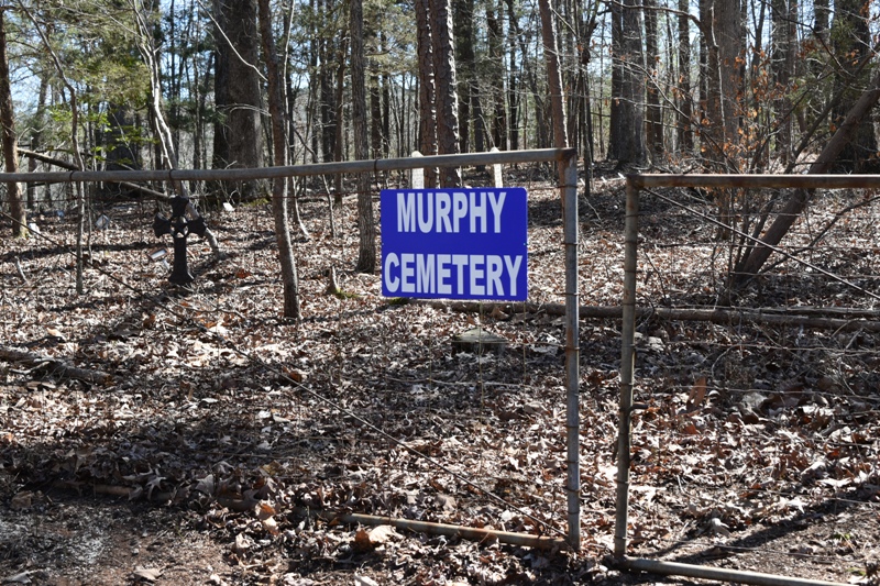
| Location | : | Montgomery County, USA |
| Coordinate | : | 34.5257988, -93.4235992 |
| Description | : | Located Hwy 270 East of Mt Ida to Chester Drive. |
frequently asked questions (FAQ):
-
Where is Murphy Cemetery?
Murphy Cemetery is located at Montgomery County ,Arkansas ,USA.
-
Murphy Cemetery cemetery's updated grave count on graveviews.com?
0 memorials
-
Where are the coordinates of the Murphy Cemetery?
Latitude: 34.5257988
Longitude: -93.4235992
Nearby Cemetories:
1. Joplin Cemetery
Mount Ida, Montgomery County, USA
Coordinate: 34.5428009, -93.4505997
2. Peak Cemetery
Royal, Garland County, USA
Coordinate: 34.4883118, -93.3948212
3. Crystal Springs Cemetery
Crystal Springs, Garland County, USA
Coordinate: 34.5208588, -93.3443985
4. Lewis Cemetery
Crystal Springs, Garland County, USA
Coordinate: 34.4935000, -93.3452000
5. Howton Cemetery
Montgomery County, USA
Coordinate: 34.4550018, -93.4439011
6. Blish Cemetery
Montgomery County, USA
Coordinate: 34.5344009, -93.5192032
7. Alley Cemetery
Montgomery County, USA
Coordinate: 34.5181007, -93.5330963
8. James Cemetery
Montgomery County, USA
Coordinate: 34.5689011, -93.5214005
9. Crossroads Cemetery
Pearcy, Garland County, USA
Coordinate: 34.4625015, -93.3375015
10. Wacaster Cemetery
Montgomery County, USA
Coordinate: 34.4310989, -93.4096985
11. Howerton Cemetery
Montgomery County, USA
Coordinate: 34.4303017, -93.4516983
12. Little Fir Cemetery
Little Fir Landing, Montgomery County, USA
Coordinate: 34.6220700, -93.4651000
13. Big Fir Cemetery
Montgomery County, USA
Coordinate: 34.6049995, -93.5053024
14. Little Fir Cemetery
Rubie, Montgomery County, USA
Coordinate: 34.6050400, -93.5056000
15. McDowell Cemetery
Garland County, USA
Coordinate: 34.4919014, -93.2983017
16. Buckville Cemetery
Hot Springs, Garland County, USA
Coordinate: 34.6130524, -93.3421173
17. McKinney Cemetery
Montgomery County, USA
Coordinate: 34.5705986, -93.5460968
18. New Cedar Glades Cemetery
Garland County, USA
Coordinate: 34.6148987, -93.3437271
19. Brooks Cemetery
Garland County, USA
Coordinate: 34.6162491, -93.3390274
20. Lowe Cemetery
Royal, Garland County, USA
Coordinate: 34.5093994, -93.2853012
21. Cain-Crumpton Cemetery
Royal, Garland County, USA
Coordinate: 34.5094000, -93.2853000
22. Caney Cemetery
Montgomery County, USA
Coordinate: 34.4143982, -93.4938965
23. Mount Zion Cemetery
Montgomery County, USA
Coordinate: 34.4514008, -93.5466995
24. Avant Cemetery
Garland County, USA
Coordinate: 34.6383018, -93.3399963