
| Memorials | : | 2 |
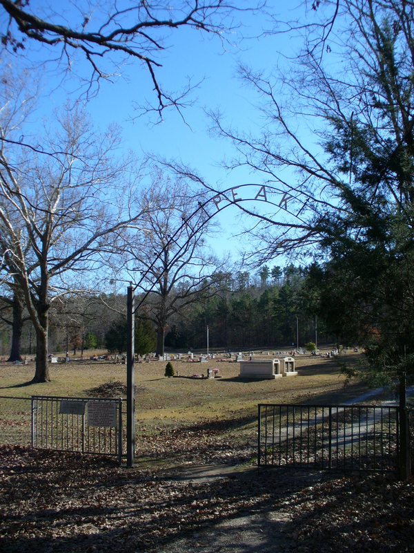
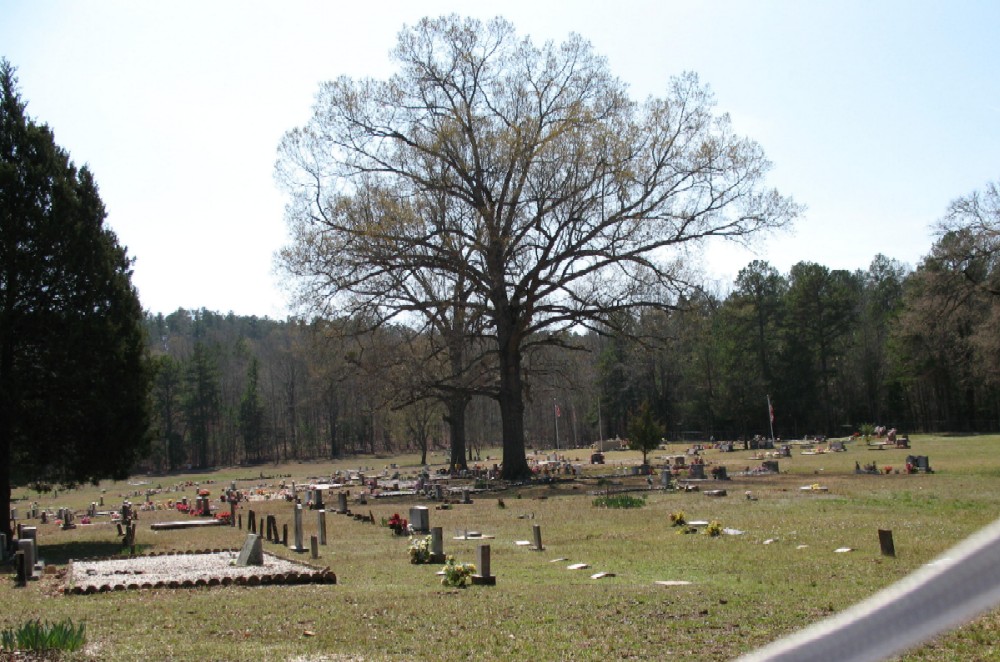
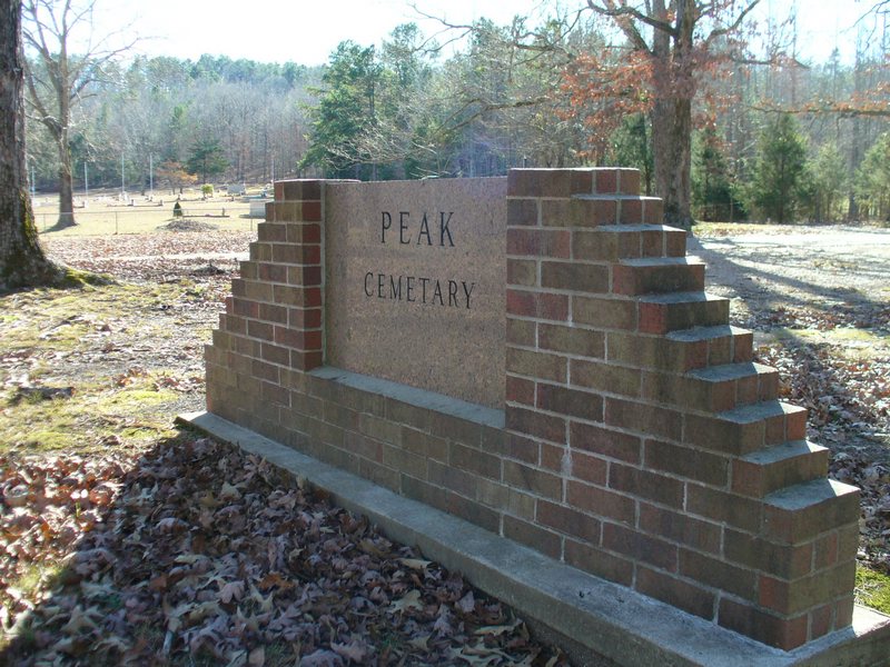
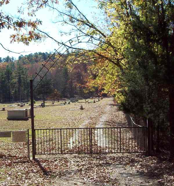
| Location | : | Royal, Garland County, USA |
| Coordinate | : | 34.4883118, -93.3948212 |
frequently asked questions (FAQ):
-
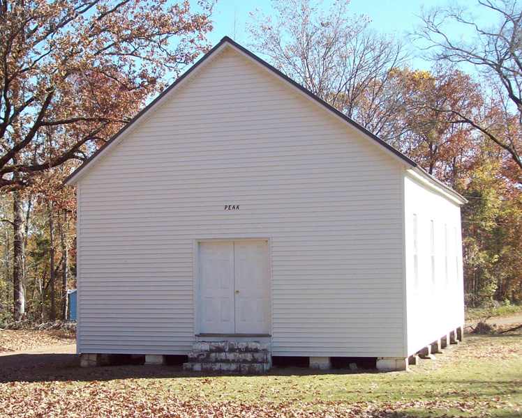
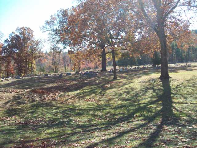
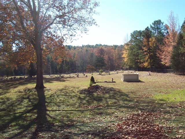
Where is Peak Cemetery?
Peak Cemetery is located at Off of Powell Road at Ragweed Valley Rd. Royal, Garland County ,Arkansas ,USA.
-
Peak Cemetery cemetery's updated grave count on graveviews.com?
2 memorials
-
Where are the coordinates of the Peak Cemetery?
Latitude: 34.4883118
Longitude: -93.3948212

Nearby Cemetories:
1. Lewis Cemetery
Crystal Springs, Garland County, USA
Coordinate: 34.4935000, -93.3452000
2. Murphy Cemetery
Montgomery County, USA
Coordinate: 34.5257988, -93.4235992
3. Howton Cemetery
Montgomery County, USA
Coordinate: 34.4550018, -93.4439011
4. Crystal Springs Cemetery
Crystal Springs, Garland County, USA
Coordinate: 34.5208588, -93.3443985
5. Crossroads Cemetery
Pearcy, Garland County, USA
Coordinate: 34.4625015, -93.3375015
6. Wacaster Cemetery
Montgomery County, USA
Coordinate: 34.4310989, -93.4096985
7. Joplin Cemetery
Mount Ida, Montgomery County, USA
Coordinate: 34.5428009, -93.4505997
8. Howerton Cemetery
Montgomery County, USA
Coordinate: 34.4303017, -93.4516983
9. McDowell Cemetery
Garland County, USA
Coordinate: 34.4919014, -93.2983017
10. Lowe Cemetery
Royal, Garland County, USA
Coordinate: 34.5093994, -93.2853012
11. Cain-Crumpton Cemetery
Royal, Garland County, USA
Coordinate: 34.5094000, -93.2853000
12. Grants Chapel Cemetery
Bonnerdale, Hot Spring County, USA
Coordinate: 34.3867912, -93.3996887
13. Caney Cemetery
Montgomery County, USA
Coordinate: 34.4143982, -93.4938965
14. Blish Cemetery
Montgomery County, USA
Coordinate: 34.5344009, -93.5192032
15. Adams-Woodall Cemetery
Montgomery County, USA
Coordinate: 34.3764000, -93.4344025
16. Alley Cemetery
Montgomery County, USA
Coordinate: 34.5181007, -93.5330963
17. Seventh Day Adventist Cemetery
Bonnerdale, Hot Spring County, USA
Coordinate: 34.3617830, -93.3954750
18. Oak Grove Cemetery
Royal, Garland County, USA
Coordinate: 34.4810982, -93.2406006
19. Mount Zion Cemetery
Montgomery County, USA
Coordinate: 34.4514008, -93.5466995
20. James Cemetery
Montgomery County, USA
Coordinate: 34.5689011, -93.5214005
21. Buckville Cemetery
Hot Springs, Garland County, USA
Coordinate: 34.6130524, -93.3421173
22. New Cedar Glades Cemetery
Garland County, USA
Coordinate: 34.6148987, -93.3437271
23. Mazarn Chapel Cemetery
Bonnerdale, Hot Spring County, USA
Coordinate: 34.3664017, -93.3272018
24. Old Mount Tabor Cemetery
Welsh, Montgomery County, USA
Coordinate: 34.3618011, -93.4505005