
| Memorials | : | 108 |
| Location | : | Atchison, Atchison County, USA |
| Coordinate | : | 39.5770645, -95.1098862 |
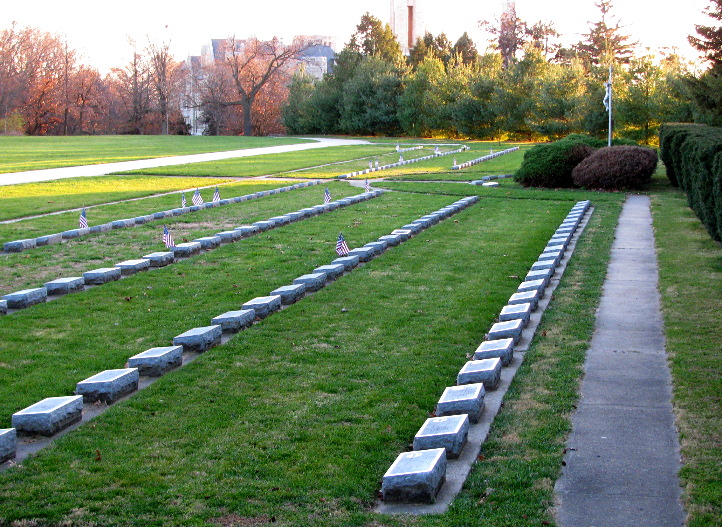
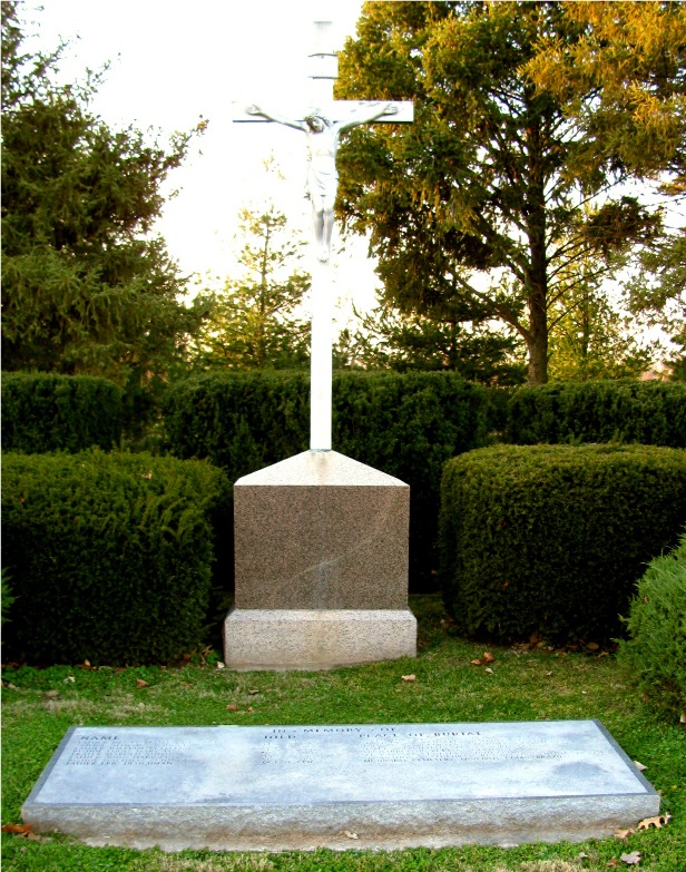
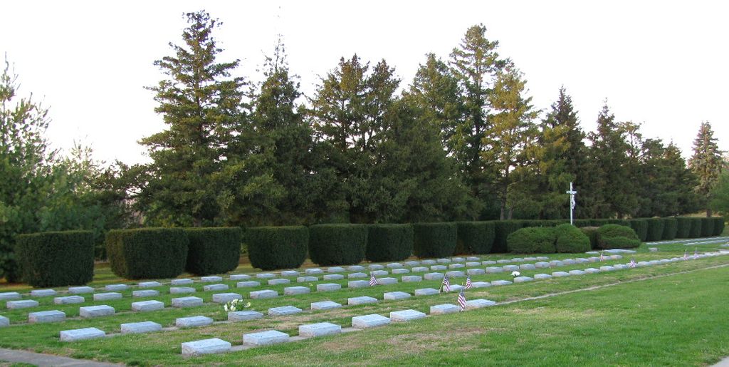
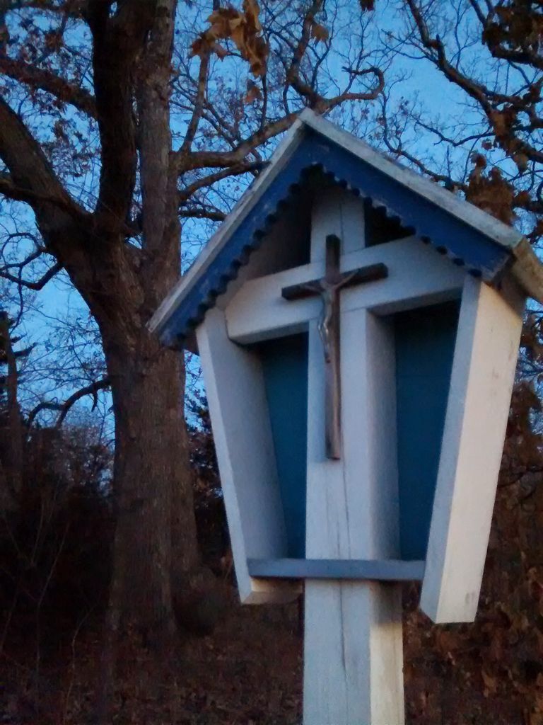
| Description | : | The current St Benedict's Abbey Cemetery is actually the 'new' cemetery. The original one was located on the bluff overlooking the Missouri River, just east of the present Library building. The current cemetery was laid out in 1964 by Father Angelus Lingenfelser, O.S.B., and with the help of several brothers, the remains from the old cemetery were moved to the new one. The current cemetery is located to the north of the Abbey. Shannon N Twp, SW 1/4 Sec 30 Please note: St Benedict's Abbey Cemetery is for burial of Monks of St. Benedict's. Sisters of Mount St Scholastica are buried in the Mount Saint Scholastica... Read More |
frequently asked questions (FAQ):
-
Where is Saint Benedicts Abbey Cemetery?
Saint Benedicts Abbey Cemetery is located at Atchison, Atchison County ,Kansas ,USA.
-
Saint Benedicts Abbey Cemetery cemetery's updated grave count on graveviews.com?
6 memorials
-
Where are the coordinates of the Saint Benedicts Abbey Cemetery?
Latitude: 39.5770645
Longitude: -95.1098862
Nearby Cemetories:
1. Taylor Cemetery
Atchison, Atchison County, USA
Coordinate: 39.5867200, -95.1055400
2. Orphans Home Cemetery
Atchison, Atchison County, USA
Coordinate: 39.5934906, -95.1105728
3. Trinity Episcopal Church Memorial Garden
Atchison, Atchison County, USA
Coordinate: 39.5593910, -95.1187363
4. Mount Calvary Cemetery
Atchison, Atchison County, USA
Coordinate: 39.5971985, -95.1311035
5. Sunset Memory Gardens
Atchison, Atchison County, USA
Coordinate: 39.5978203, -95.1342621
6. Mount Saint Scholastica Cemetery
Atchison, Atchison County, USA
Coordinate: 39.5524788, -95.1274185
7. Oak Hill Cemetery
Atchison, Atchison County, USA
Coordinate: 39.5628014, -95.1444016
8. Spriggs Family Cemetery (Defunct)
Atchison, Atchison County, USA
Coordinate: 39.5564400, -95.1434100
9. Yoakum Cemetery
Atchison, Atchison County, USA
Coordinate: 39.5522600, -95.1611400
10. Mount Vernon Cemetery
Atchison, Atchison County, USA
Coordinate: 39.5383200, -95.1437800
11. Gore-Cummings-Nielson-Armstrong-Case Cemetery
Shannon, Atchison County, USA
Coordinate: 39.6241989, -95.1128006
12. Hudspeth Cemetery
Rushville, Buchanan County, USA
Coordinate: 39.5682100, -95.0400000
13. Schmidt Graves
Rushville, Buchanan County, USA
Coordinate: 39.5616330, -95.0416950
14. Gordon Graveyard
Rushville, Buchanan County, USA
Coordinate: 39.5607400, -95.0352900
15. Myers Cemetery
Atchison, Atchison County, USA
Coordinate: 39.6369019, -95.1149979
16. Sumner Cemetery
Atchison, Atchison County, USA
Coordinate: 39.5163994, -95.1081009
17. Cash Cemetery
Rushville, Buchanan County, USA
Coordinate: 39.5702400, -95.0220600
18. Dicksen Cemetery
Rushville, Buchanan County, USA
Coordinate: 39.5889100, -95.0220400
19. Allison Homestead Graveyard
Rushville, Buchanan County, USA
Coordinate: 39.5659100, -95.0211900
20. Mormon Grove Historical Marker Memorial
Parnell, Atchison County, USA
Coordinate: 39.5572319, -95.1985931
21. Doniphan Cemetery
Doniphan, Doniphan County, USA
Coordinate: 39.6478004, -95.0699997
22. Gore Cemetery
Buchanan County, USA
Coordinate: 39.5489006, -95.0147018
23. Armstrong Cemetery
Rushville, Buchanan County, USA
Coordinate: 39.5960999, -95.0083008
24. Elliott Cemetery
Buchanan County, USA
Coordinate: 39.5582200, -95.0079900