
| Memorials | : | 0 |
| Location | : | Hyde, Metropolitan Borough of Tameside, England |
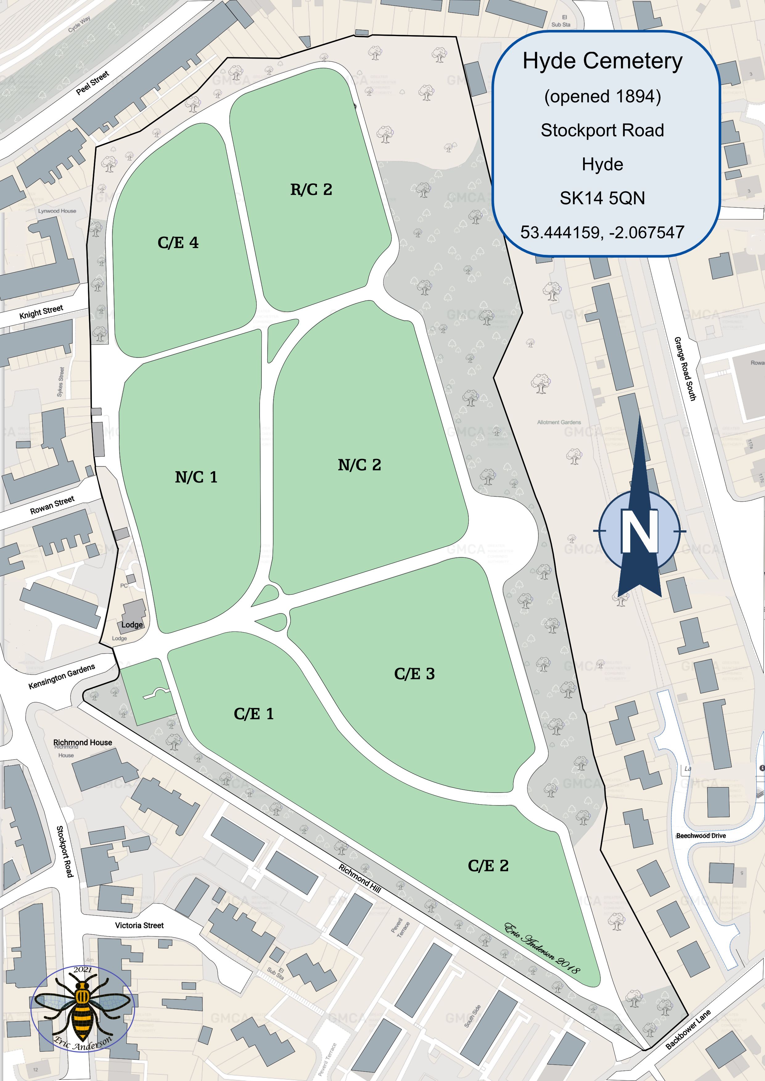
| Coordinate | : | 53.4437910, -2.0684130 |
frequently asked questions (FAQ):
-
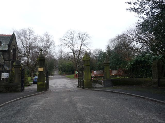
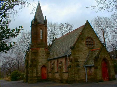
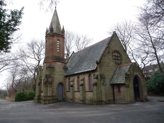
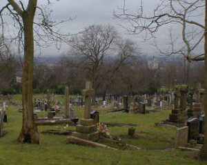
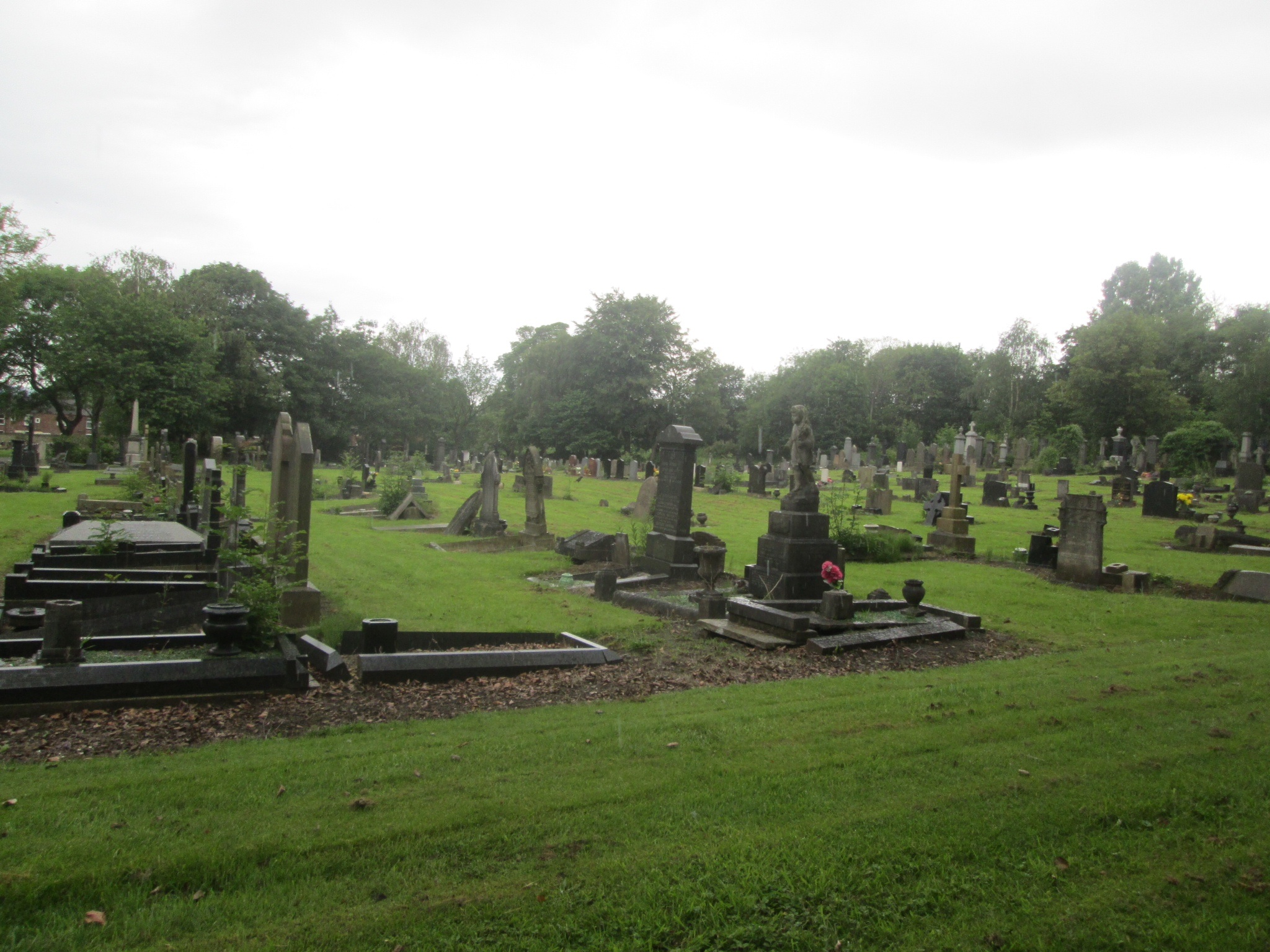
Where is Hyde Cemetery?
Hyde Cemetery is located at Hyde, Metropolitan Borough of Tameside ,Greater Manchester ,England.
-
Hyde Cemetery cemetery's updated grave count on graveviews.com?
0 memorials
-
Where are the coordinates of the Hyde Cemetery?
Latitude: 53.4437910
Longitude: -2.0684130
Nearby Cemetories:
1. Holy Trinity Churchyard
Gee Cross, Metropolitan Borough of Tameside, England
Coordinate: 53.4393900, -2.0645500
2. Hyde Chapel Chapelyard
Gee Cross, Metropolitan Borough of Tameside, England
Coordinate: 53.4374900, -2.0728100
3. St George Churchyard
Hyde, Metropolitan Borough of Tameside, England
Coordinate: 53.4466540, -2.0789750
4. Saint Thomas The Apostle Churchyard
Hyde, Metropolitan Borough of Tameside, England
Coordinate: 53.4509000, -2.0707000
5. St. John The Baptist Churchyard
Hyde, Metropolitan Borough of Tameside, England
Coordinate: 53.4548411, -2.0644712
6. St Mary's Churchyard
Hyde, Metropolitan Borough of Tameside, England
Coordinate: 53.4652400, -2.0599700
7. Denton Cemetery
Denton, Metropolitan Borough of Tameside, England
Coordinate: 53.4424140, -2.1115510
8. St Lawrence Church
Denton, Metropolitan Borough of Tameside, England
Coordinate: 53.4520000, -2.1109000
9. Saint Mark Churchyard
Bredbury, Metropolitan Borough of Stockport, England
Coordinate: 53.4241160, -2.1051390
10. Audenshaw Cemetery
Audenshaw, Metropolitan Borough of Tameside, England
Coordinate: 53.4653300, -2.1101560
11. St John's Churchyard
Dukinfield, Metropolitan Borough of Tameside, England
Coordinate: 53.4771000, -2.0726000
12. Saint Chad's Churchyard
Romiley, Metropolitan Borough of Stockport, England
Coordinate: 53.4128520, -2.0896350
13. Christ Church Churchyard
Denton, Metropolitan Borough of Tameside, England
Coordinate: 53.4560270, -2.1218270
14. St. Michael Churchyard
Mottram in Longdendale, Metropolitan Borough of Tameside, England
Coordinate: 53.4544040, -2.0101460
15. Mottram Cemetery
Mottram in Longdendale, Metropolitan Borough of Tameside, England
Coordinate: 53.4546420, -2.0086900
16. Hatherlow Chapel Cemetery
Bredbury, Metropolitan Borough of Stockport, England
Coordinate: 53.4109259, -2.0992592
17. Dukinfield Cemetery and Crematorium
Dukinfield, Metropolitan Borough of Tameside, England
Coordinate: 53.4800300, -2.0857150
18. Hatherlow United Reformed Church Cemetery
Romiley, Metropolitan Borough of Stockport, England
Coordinate: 53.4107180, -2.0989830
19. Bethel Chapel Chapelyard
Stalybridge, Metropolitan Borough of Tameside, England
Coordinate: 53.4820413, -2.0576195
20. Highfield Cemetery
Bredbury, Metropolitan Borough of Stockport, England
Coordinate: 53.4133310, -2.1111320
21. St George's Old Churchyard
Stalybridge, Metropolitan Borough of Tameside, England
Coordinate: 53.4844700, -2.0538800
22. Saint Stephens Churchyard
Audenshaw, Metropolitan Borough of Tameside, England
Coordinate: 53.4753000, -2.1151700
23. St Paul Churchyard
Stalybridge, Metropolitan Borough of Tameside, England
Coordinate: 53.4852000, -2.0440300
24. St Georges Cemetery
Stalybridge, Metropolitan Borough of Tameside, England
Coordinate: 53.4873400, -2.0576800