
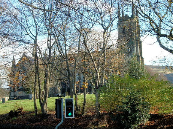
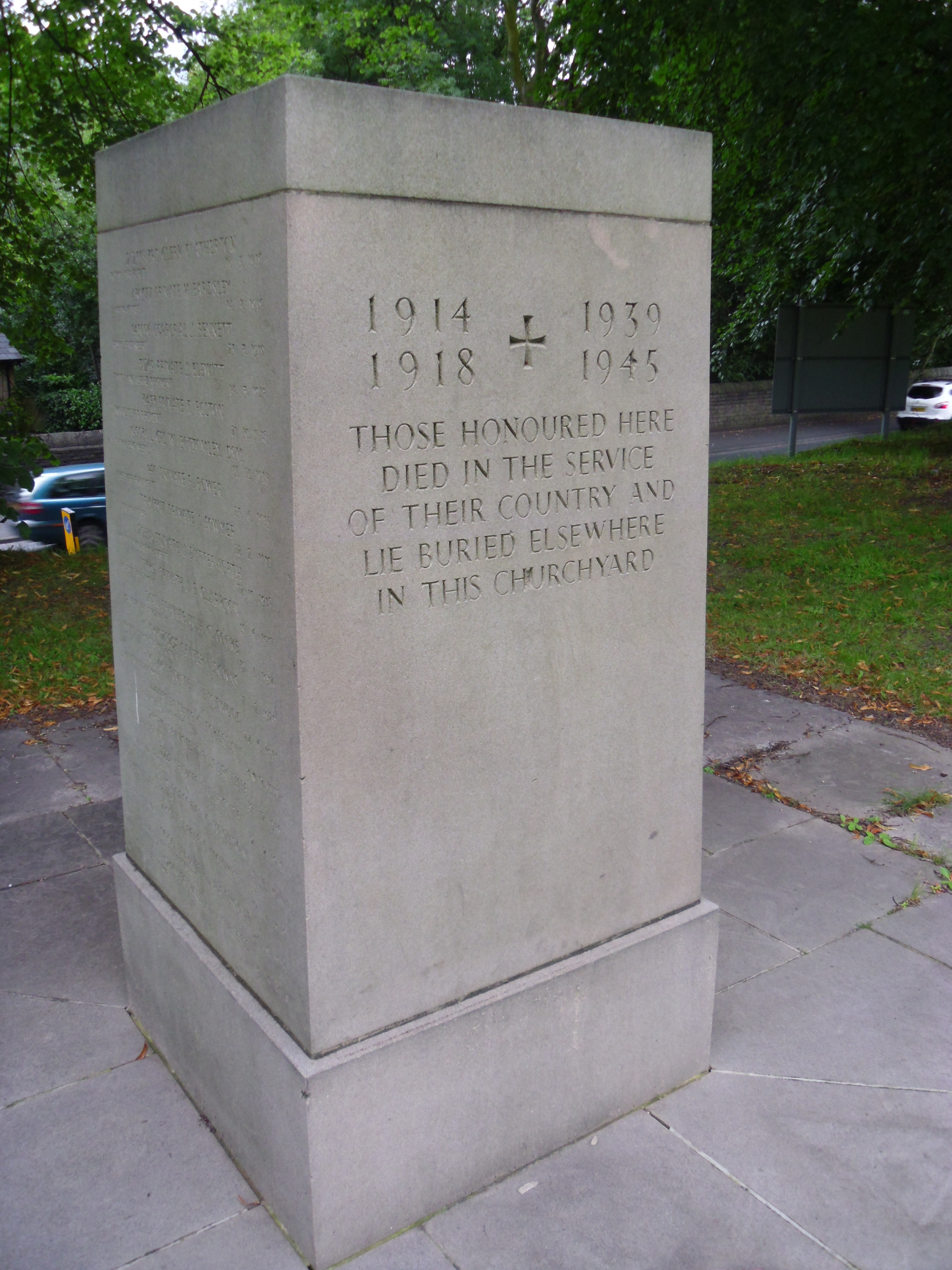
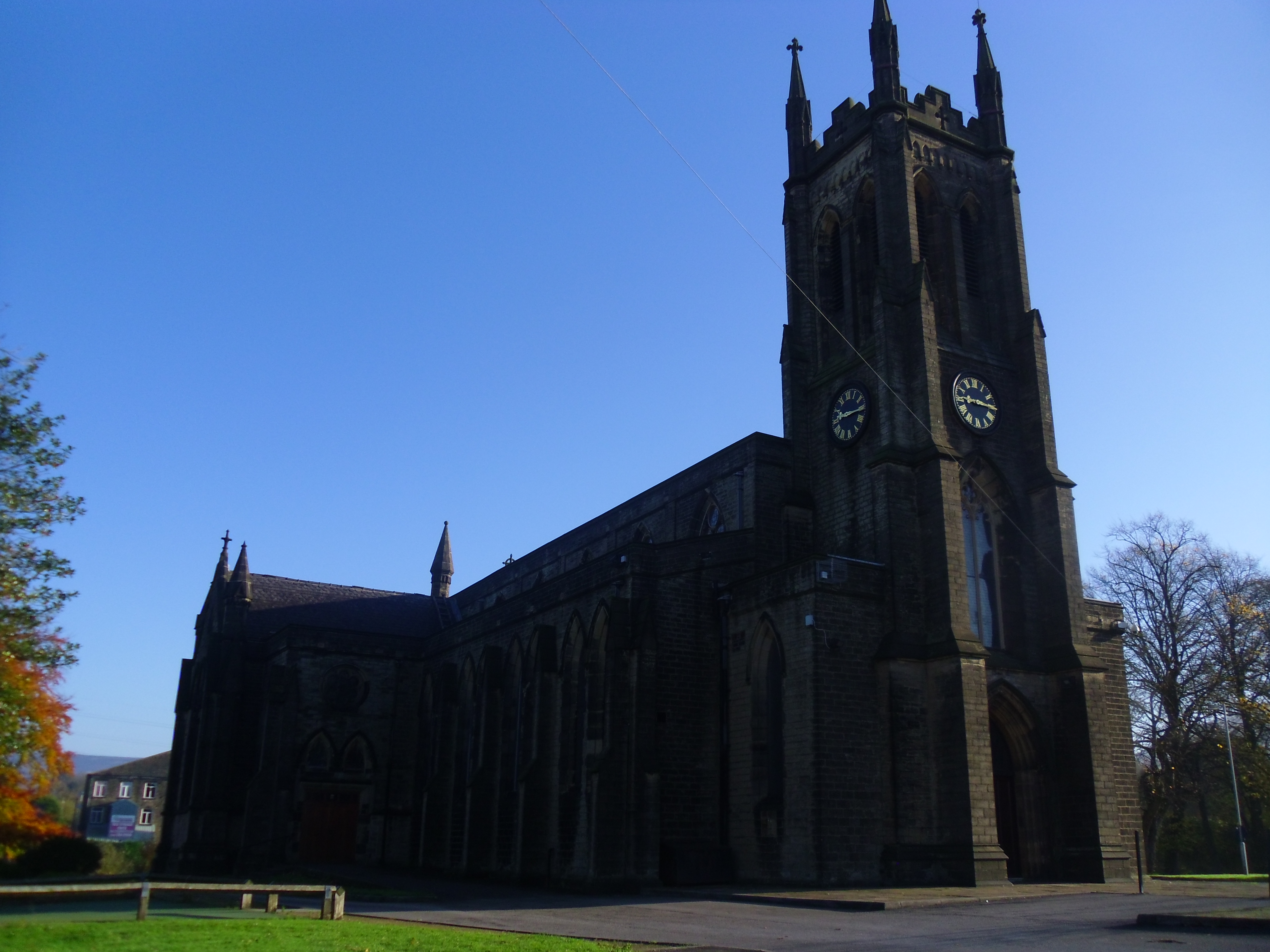
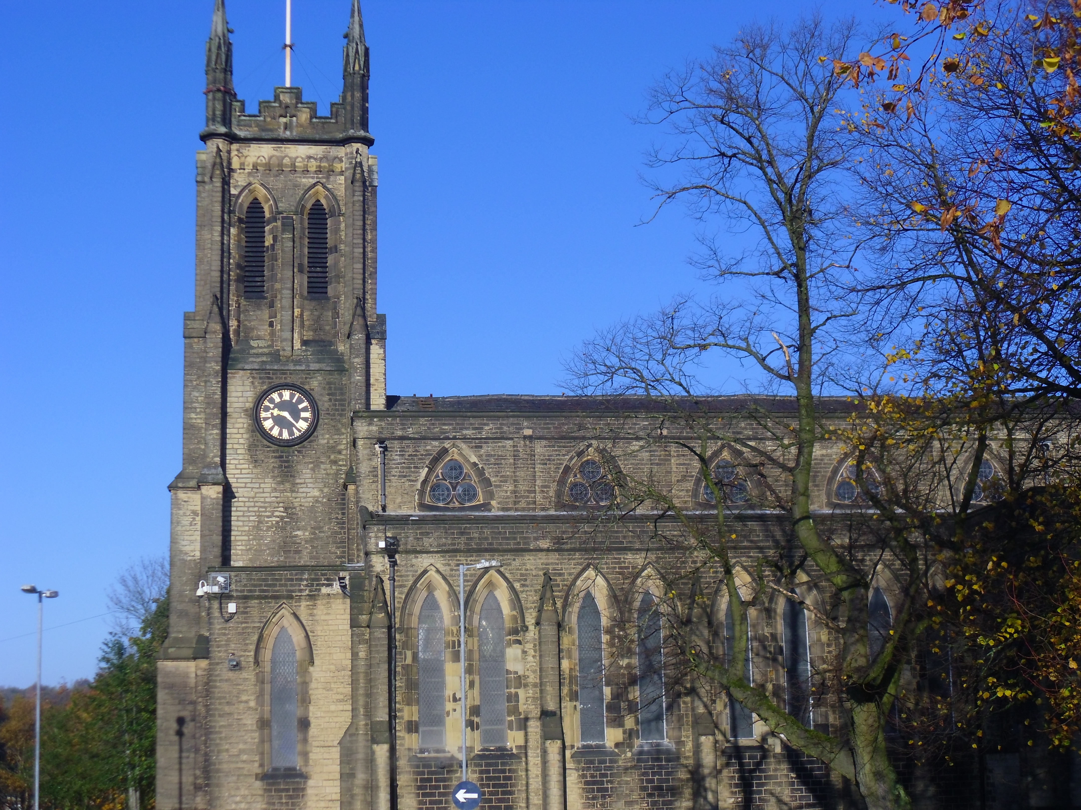
| Memorials | : | 803 |
| Location | : | Stalybridge, Metropolitan Borough of Tameside, England |
| Coordinate | : | 53.4852000, -2.0440300 |
frequently asked questions (FAQ):
-
Where is St Paul Churchyard?
St Paul Churchyard is located at Huddersfield Rd Stalybridge, Metropolitan Borough of Tameside ,Greater Manchester , SK15 2PTEngland.
-
St Paul Churchyard cemetery's updated grave count on graveviews.com?
125 memorials
-
Where are the coordinates of the St Paul Churchyard?
Latitude: 53.4852000
Longitude: -2.0440300

Nearby Cemetories:
1. St George's Old Churchyard
Stalybridge, Metropolitan Borough of Tameside, England
Coordinate: 53.4844700, -2.0538800
2. St Georges Cemetery
Stalybridge, Metropolitan Borough of Tameside, England
Coordinate: 53.4873400, -2.0576800
3. Bethel Chapel Chapelyard
Stalybridge, Metropolitan Borough of Tameside, England
Coordinate: 53.4820413, -2.0576195
4. St John's Churchyard
Dukinfield, Metropolitan Borough of Tameside, England
Coordinate: 53.4771000, -2.0726000
5. St Mary's Churchyard
Hyde, Metropolitan Borough of Tameside, England
Coordinate: 53.4652400, -2.0599700
6. Hurst Cemetery
Ashton-Under-Lyne, Metropolitan Borough of Tameside, England
Coordinate: 53.5011590, -2.0727370
7. Mossley Cemetery
Mossley, Metropolitan Borough of Tameside, England
Coordinate: 53.5092100, -2.0332700
8. Dukinfield Cemetery and Crematorium
Dukinfield, Metropolitan Borough of Tameside, England
Coordinate: 53.4800300, -2.0857150
9. St. John the Evangelist Churchyard
Hurst, Metropolitan Borough of Tameside, England
Coordinate: 53.5001310, -2.0812490
10. St. George Parish Churchyard
Mossley, Metropolitan Borough of Tameside, England
Coordinate: 53.5164000, -2.0486200
11. St. John The Baptist Churchyard
Hyde, Metropolitan Borough of Tameside, England
Coordinate: 53.4548411, -2.0644712
12. Hollingworth United Methodist Cemetery
Hollingworth, Metropolitan Borough of Tameside, England
Coordinate: 53.4632891, -1.9958244
13. St. Peter's Churchyard
Ashton-Under-Lyne, Metropolitan Borough of Tameside, England
Coordinate: 53.4839340, -2.1054690
14. St. Michael Churchyard
Mottram in Longdendale, Metropolitan Borough of Tameside, England
Coordinate: 53.4544040, -2.0101460
15. Mottram Cemetery
Mottram in Longdendale, Metropolitan Borough of Tameside, England
Coordinate: 53.4546420, -2.0086900
16. Saint Thomas The Apostle Churchyard
Hyde, Metropolitan Borough of Tameside, England
Coordinate: 53.4509000, -2.0707000
17. Saint Stephens Churchyard
Audenshaw, Metropolitan Borough of Tameside, England
Coordinate: 53.4753000, -2.1151700
18. St George Churchyard
Hyde, Metropolitan Borough of Tameside, England
Coordinate: 53.4466540, -2.0789750
19. Hyde Cemetery
Hyde, Metropolitan Borough of Tameside, England
Coordinate: 53.4437910, -2.0684130
20. Audenshaw Cemetery
Audenshaw, Metropolitan Borough of Tameside, England
Coordinate: 53.4653300, -2.1101560
21. Tintwistle Churchyard
Tintwistle, High Peak Borough, England
Coordinate: 53.4719150, -1.9685915
22. Holy Trinity Churchyard
Gee Cross, Metropolitan Borough of Tameside, England
Coordinate: 53.4393900, -2.0645500
23. United Reformed Church
Tintwistle, High Peak Borough, England
Coordinate: 53.4729900, -1.9657910
24. Hyde Chapel Chapelyard
Gee Cross, Metropolitan Borough of Tameside, England
Coordinate: 53.4374900, -2.0728100