
| Memorials | : | 644 |
| Location | : | Stalybridge, Metropolitan Borough of Tameside, England |
| Website | : | www.stg.org.uk/family-history/ |
| Coordinate | : | 53.4844700, -2.0538800 |
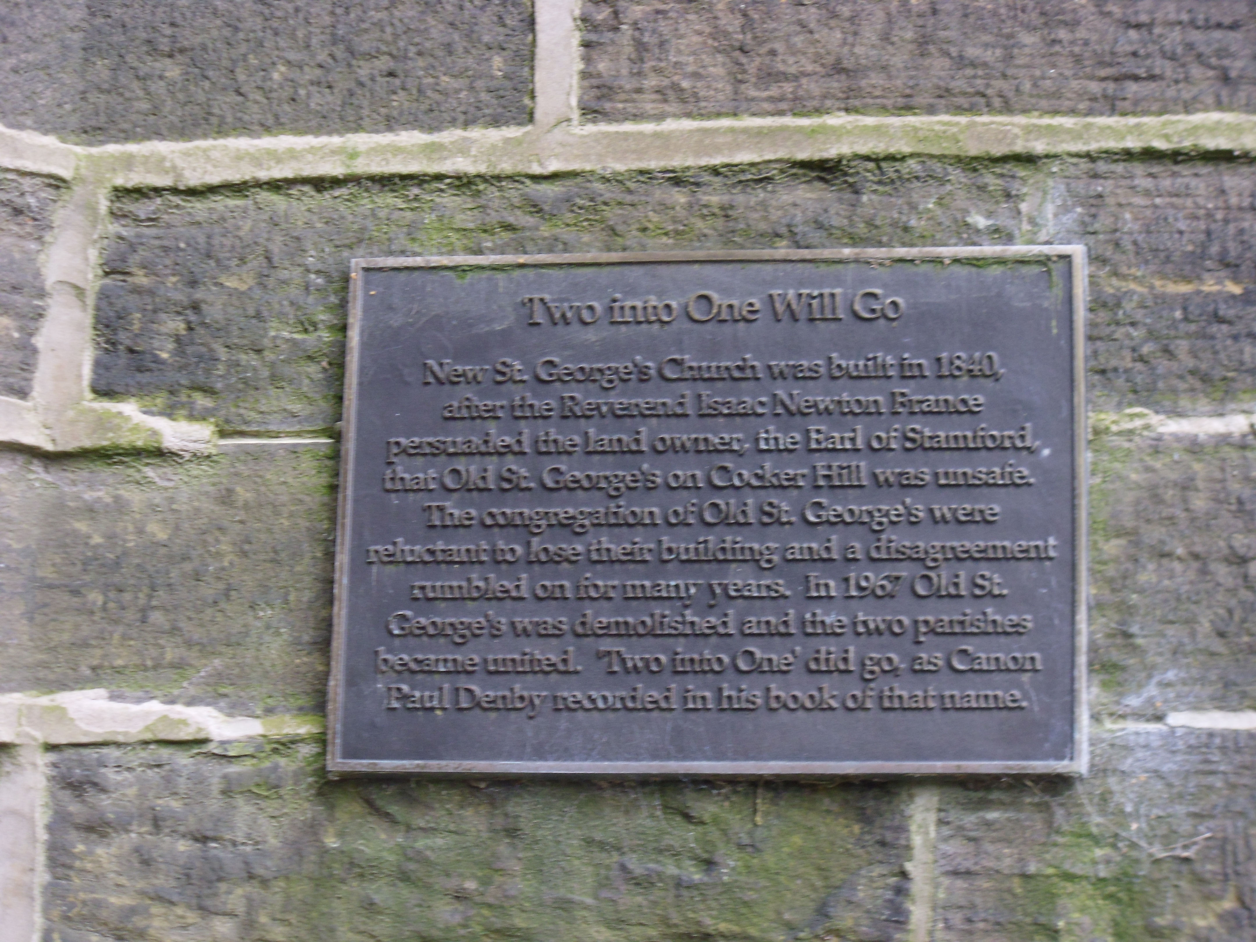
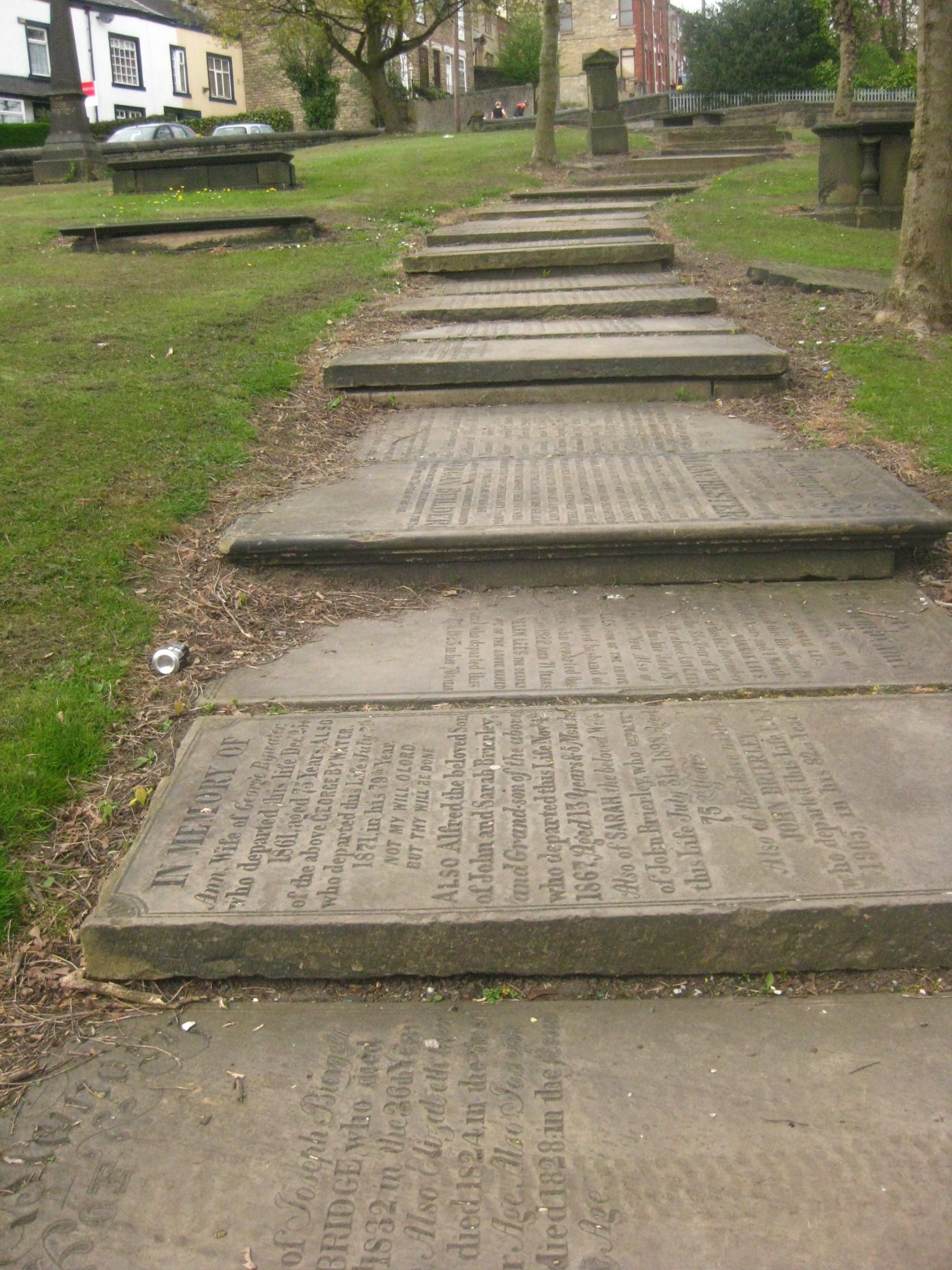
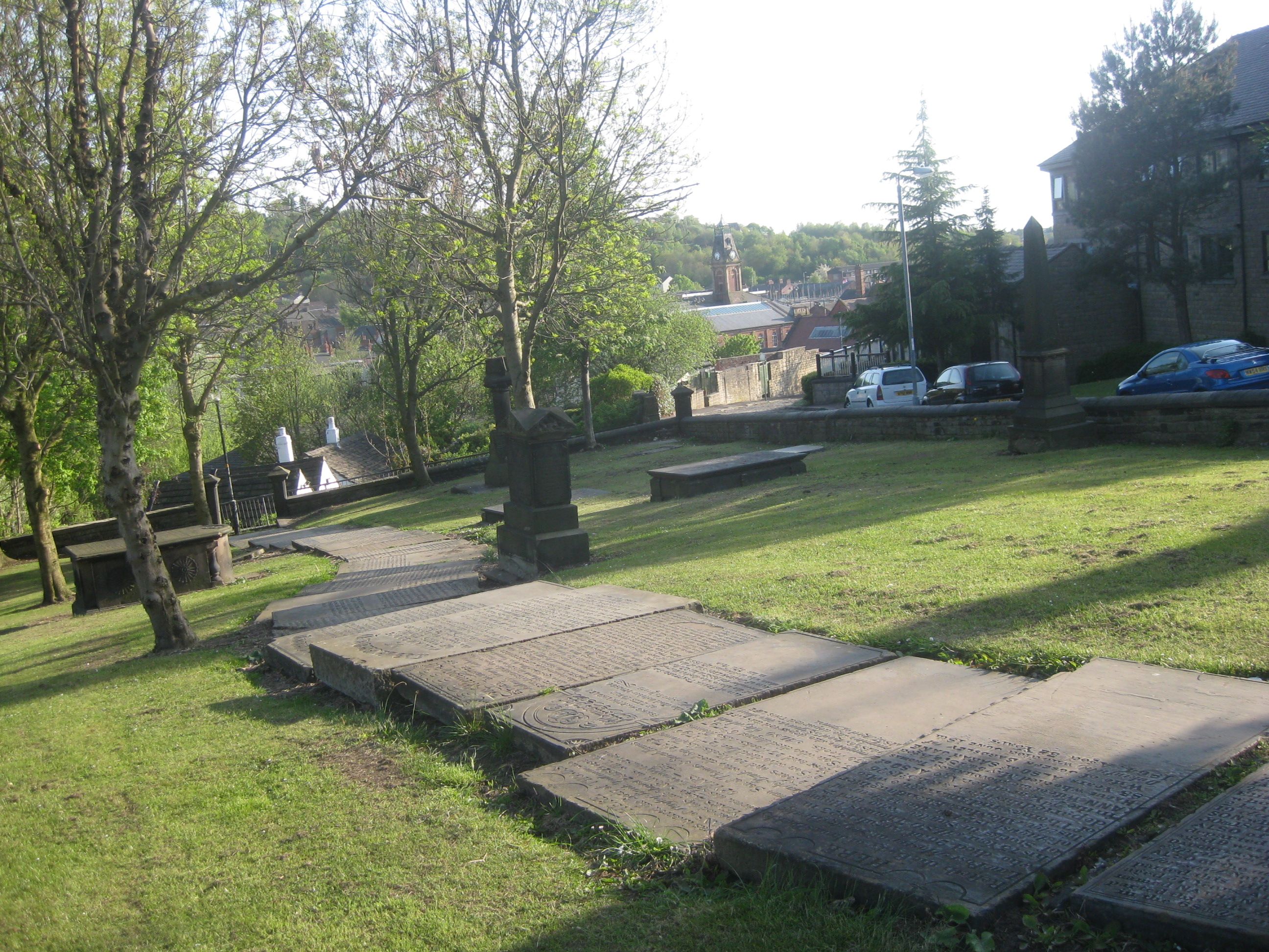
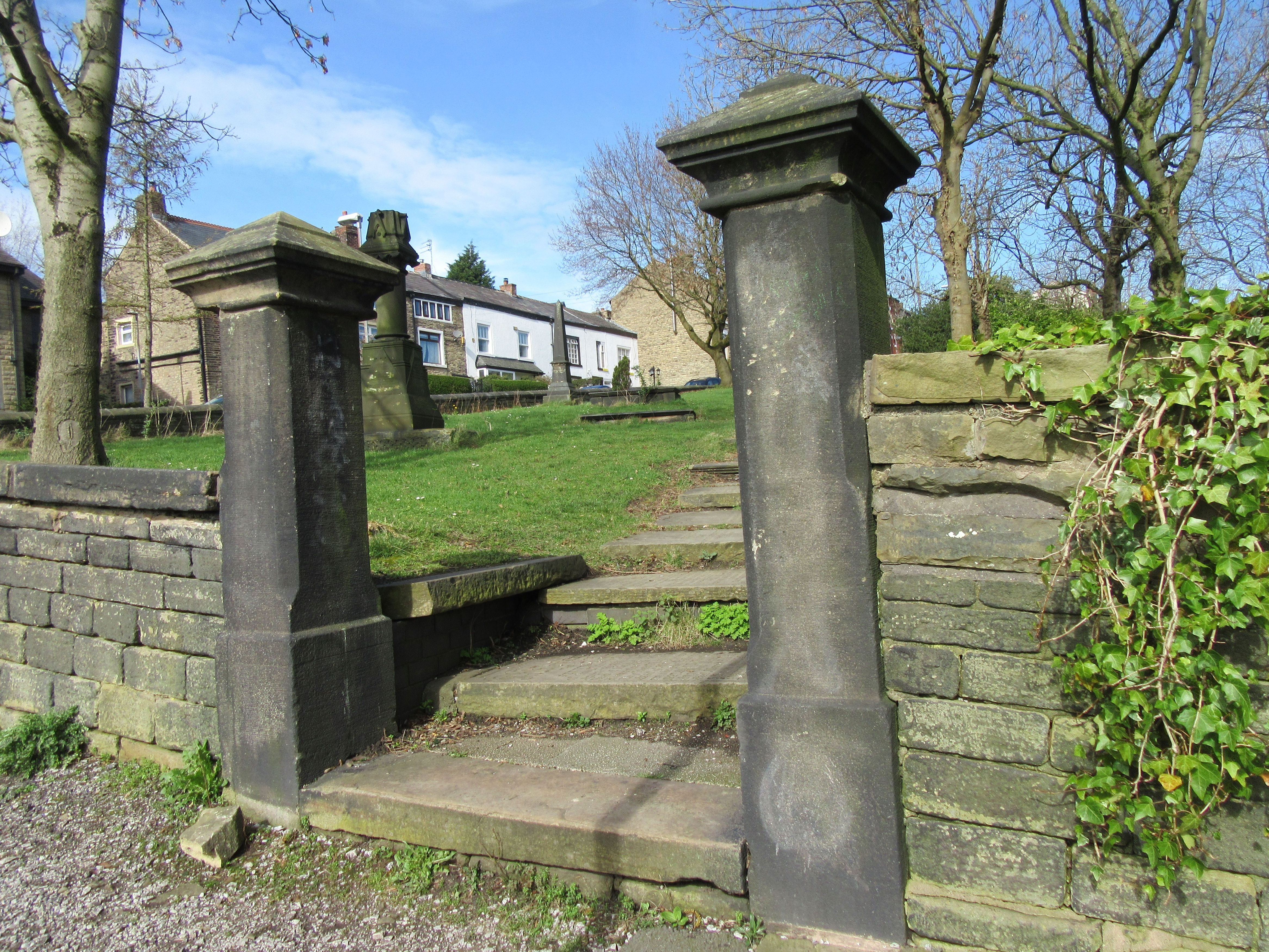
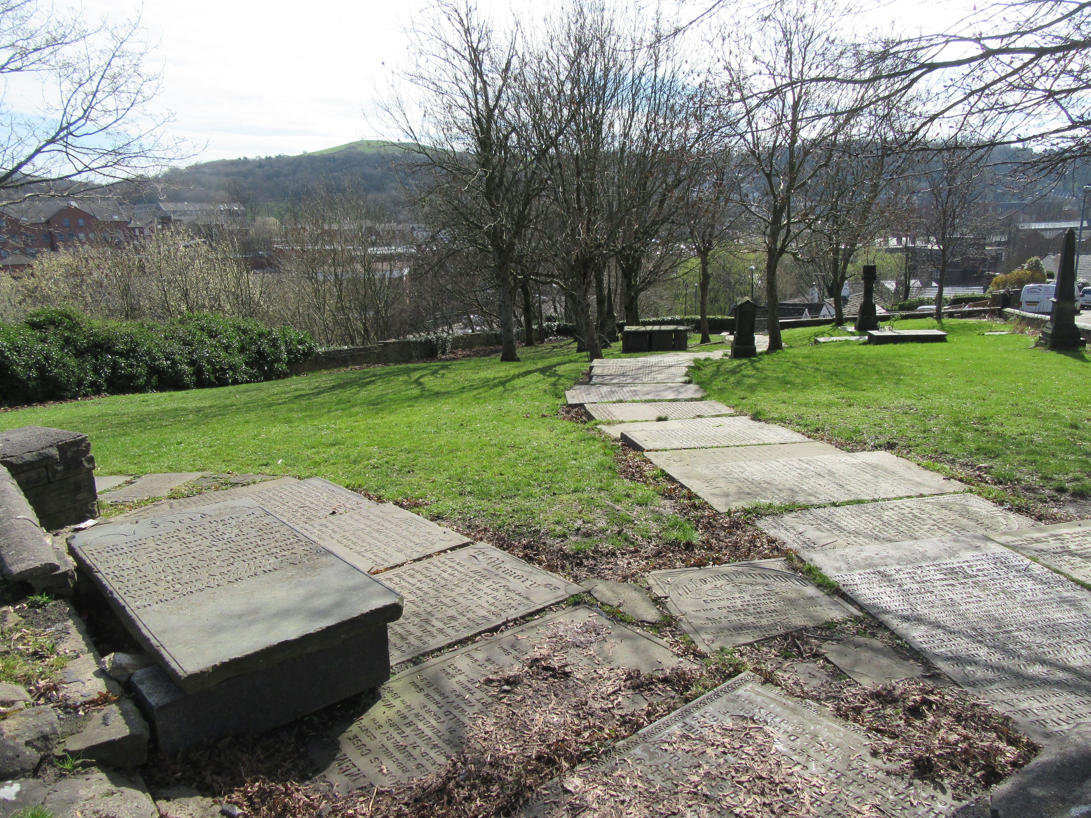
| Description | : | There have been 3 churches at Cocker Hill, which although built on "good sandstone grit”, have had their foundations weakened by layers of shale and loose earth. St George was originally built as a chapel of ease, a building for those who could not easily reach the parish church in Ashton. The first Church was built on the site in 1776 and was consecrated as the “Chapel of St George in Staley Bridge within Ridgehill and the Lanes in the Parish of Ashton Underlyne”. The first cotton mill in the small village was built in the same year, bringing an influx... Read More |
frequently asked questions (FAQ):
-
Where is St George's Old Churchyard?
St George's Old Churchyard is located at Cocker Hill Off Wakefield Road Stalybridge, Metropolitan Borough of Tameside ,Greater Manchester , SK15 1AAEngland.
-
St George's Old Churchyard cemetery's updated grave count on graveviews.com?
7 memorials
-
Where are the coordinates of the St George's Old Churchyard?
Latitude: 53.4844700
Longitude: -2.0538800
Nearby Cemetories:
1. Bethel Chapel Chapelyard
Stalybridge, Metropolitan Borough of Tameside, England
Coordinate: 53.4820413, -2.0576195
2. St Georges Cemetery
Stalybridge, Metropolitan Borough of Tameside, England
Coordinate: 53.4873400, -2.0576800
3. St Paul Churchyard
Stalybridge, Metropolitan Borough of Tameside, England
Coordinate: 53.4852000, -2.0440300
4. St John's Churchyard
Dukinfield, Metropolitan Borough of Tameside, England
Coordinate: 53.4771000, -2.0726000
5. Dukinfield Cemetery and Crematorium
Dukinfield, Metropolitan Borough of Tameside, England
Coordinate: 53.4800300, -2.0857150
6. St Mary's Churchyard
Hyde, Metropolitan Borough of Tameside, England
Coordinate: 53.4652400, -2.0599700
7. Hurst Cemetery
Ashton-Under-Lyne, Metropolitan Borough of Tameside, England
Coordinate: 53.5011590, -2.0727370
8. St. John the Evangelist Churchyard
Hurst, Metropolitan Borough of Tameside, England
Coordinate: 53.5001310, -2.0812490
9. Mossley Cemetery
Mossley, Metropolitan Borough of Tameside, England
Coordinate: 53.5092100, -2.0332700
10. St. John The Baptist Churchyard
Hyde, Metropolitan Borough of Tameside, England
Coordinate: 53.4548411, -2.0644712
11. St. Peter's Churchyard
Ashton-Under-Lyne, Metropolitan Borough of Tameside, England
Coordinate: 53.4839340, -2.1054690
12. St. George Parish Churchyard
Mossley, Metropolitan Borough of Tameside, England
Coordinate: 53.5164000, -2.0486200
13. Saint Thomas The Apostle Churchyard
Hyde, Metropolitan Borough of Tameside, England
Coordinate: 53.4509000, -2.0707000
14. Saint Stephens Churchyard
Audenshaw, Metropolitan Borough of Tameside, England
Coordinate: 53.4753000, -2.1151700
15. Audenshaw Cemetery
Audenshaw, Metropolitan Borough of Tameside, England
Coordinate: 53.4653300, -2.1101560
16. St. Michael Churchyard
Mottram in Longdendale, Metropolitan Borough of Tameside, England
Coordinate: 53.4544040, -2.0101460
17. Mottram Cemetery
Mottram in Longdendale, Metropolitan Borough of Tameside, England
Coordinate: 53.4546420, -2.0086900
18. Hollingworth United Methodist Cemetery
Hollingworth, Metropolitan Borough of Tameside, England
Coordinate: 53.4632891, -1.9958244
19. St George Churchyard
Hyde, Metropolitan Borough of Tameside, England
Coordinate: 53.4466540, -2.0789750
20. Hyde Cemetery
Hyde, Metropolitan Borough of Tameside, England
Coordinate: 53.4437910, -2.0684130
21. Holy Trinity Churchyard
Gee Cross, Metropolitan Borough of Tameside, England
Coordinate: 53.4393900, -2.0645500
22. St Lawrence Church
Denton, Metropolitan Borough of Tameside, England
Coordinate: 53.4520000, -2.1109000
23. Hyde Chapel Chapelyard
Gee Cross, Metropolitan Borough of Tameside, England
Coordinate: 53.4374900, -2.0728100
24. Christ Church Churchyard
Denton, Metropolitan Borough of Tameside, England
Coordinate: 53.4560270, -2.1218270