
| Memorials | : | 1 |
| Location | : | Brightshade, Clay County, USA |
| Coordinate | : | 36.9721800, -83.6266400 |
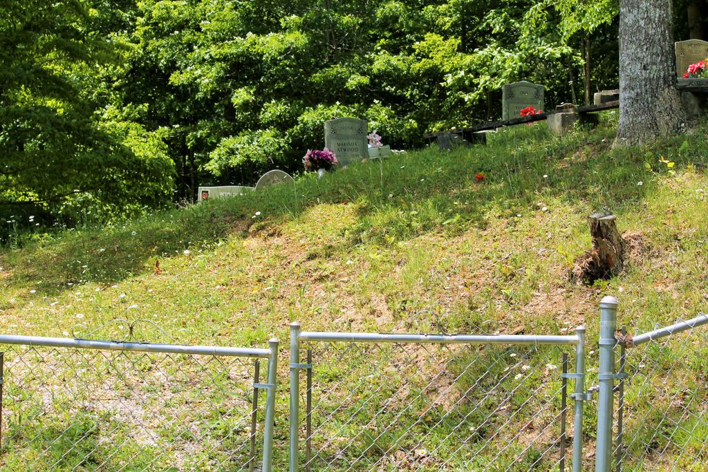
| Description | : | This cemetery is located about 1 mile on Old Field Branch, a side road of Goose Creek (Hwy 2467). It is on the right side of the road, across a field and up on the hill. |
frequently asked questions (FAQ):
-
Where is Jackson Cemetery #3?
Jackson Cemetery #3 is located at Old Field Branch Brightshade, Clay County ,Kentucky ,USA.
-
Jackson Cemetery #3 cemetery's updated grave count on graveviews.com?
1 memorials
-
Where are the coordinates of the Jackson Cemetery #3?
Latitude: 36.9721800
Longitude: -83.6266400
Nearby Cemetories:
1. Stewart Cemetery - Old Field Branch
Brightshade, Clay County, USA
Coordinate: 36.9708100, -83.6316600
2. Grubb Cemetery
Brightshade, Clay County, USA
Coordinate: 36.9749200, -83.6205900
3. Ora Jackson Cemetery
Brightshade, Clay County, USA
Coordinate: 36.9763990, -83.6216880
4. Abe Jackson Cemetery
Brightshade, Clay County, USA
Coordinate: 36.9867040, -83.6248960
5. Darbys Branch Cemetery #1
Brightshade, Clay County, USA
Coordinate: 36.9627600, -83.6077900
6. Stewart Cemetery
Brightshade, Clay County, USA
Coordinate: 36.9899340, -83.6327190
7. T J Jackson Cemetery
Brightshade, Clay County, USA
Coordinate: 36.9918300, -83.6309000
8. Indian Grave Branch Cemetery
Brightshade, Clay County, USA
Coordinate: 36.9869200, -83.6068200
9. Hubbard Cemetery
Brightshade, Clay County, USA
Coordinate: 36.9802200, -83.6545700
10. Smith Cemetery
Brightshade, Clay County, USA
Coordinate: 36.9966200, -83.6330400
11. Asher Cemetery
Brightshade, Clay County, USA
Coordinate: 36.9651700, -83.5938100
12. Darbys Branch Cemetery #2
Brightshade, Clay County, USA
Coordinate: 36.9655200, -83.5873000
13. Mills Cemetery
Ashers Fork, Clay County, USA
Coordinate: 37.0095600, -83.6357800
14. Lewis Family Cemetery
Ashers Fork, Clay County, USA
Coordinate: 37.0114160, -83.6161130
15. Smith Family Cemetery
Ashers Fork, Clay County, USA
Coordinate: 37.0067500, -83.5902220
16. Harrison Mills Cemetery
Flat Lick, Knox County, USA
Coordinate: 36.9242327, -83.6525923
17. Eversole Cemetery
Brightshade, Clay County, USA
Coordinate: 37.0218620, -83.6504270
18. Wagers Cemetery
Brightshade, Clay County, USA
Coordinate: 37.0220060, -83.6523220
19. Mills Cemetery
Brightshade, Clay County, USA
Coordinate: 36.9909940, -83.6926450
20. Andy Hubbard Cemetery
Brightshade, Clay County, USA
Coordinate: 37.0275400, -83.6584200
21. Delph Cemetery
Spring Creek, Clay County, USA
Coordinate: 37.0299500, -83.6018600
22. Smith-Couch Cemetery
Plank, Clay County, USA
Coordinate: 37.0397230, -83.6299430
23. Smallwood Cemetery
Brightshade, Clay County, USA
Coordinate: 37.0363130, -83.6608080
24. Scalf Family Cemetery
Hammond, Knox County, USA
Coordinate: 36.9707230, -83.7184170