
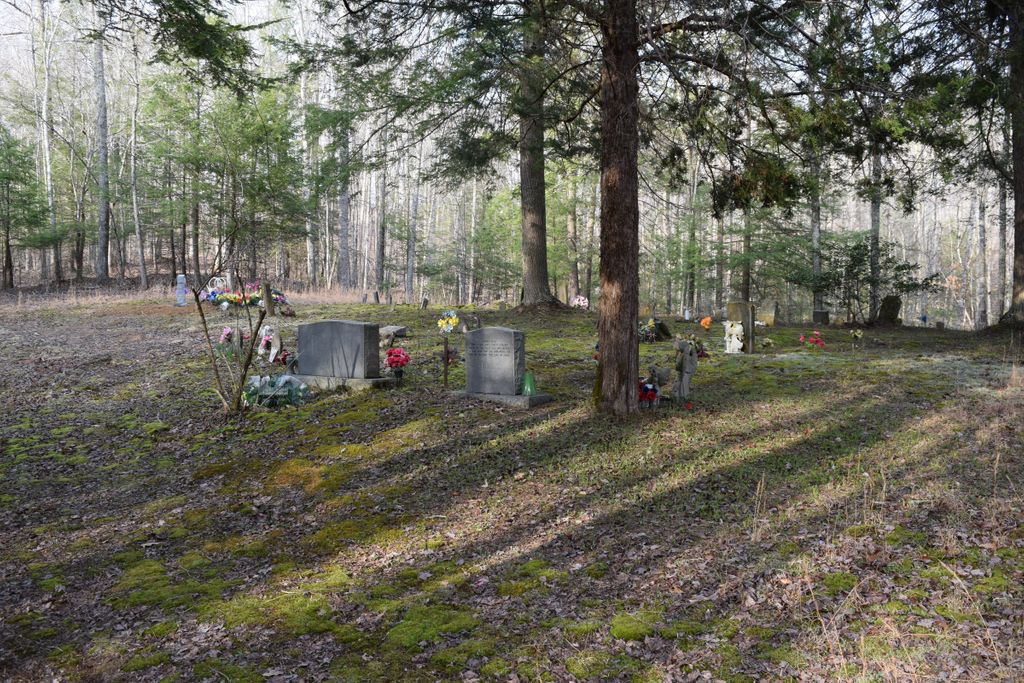
| Memorials | : | 5 |
| Location | : | Spring Creek, Clay County, USA |
| Coordinate | : | 37.0299500, -83.6018600 |
| Description | : | From Goose Rock Elementary, take 1524 to 2000, go 4.7 miles and turn right onto Sand Hill Rd., go 2.6 miles and turn left, go another 0.5 miles and turn right, go down the hill, cemetery is on the right. |
frequently asked questions (FAQ):
-
Where is Delph Cemetery?
Delph Cemetery is located at Delph Cemetery Road Spring Creek, Clay County ,Kentucky ,USA.
-
Delph Cemetery cemetery's updated grave count on graveviews.com?
5 memorials
-
Where are the coordinates of the Delph Cemetery?
Latitude: 37.0299500
Longitude: -83.6018600
Nearby Cemetories:
1. Lewis Family Cemetery
Ashers Fork, Clay County, USA
Coordinate: 37.0114160, -83.6161130
2. Mudlick Cemetery
Plank, Clay County, USA
Coordinate: 37.0486120, -83.6191600
3. Smith-Couch Cemetery
Plank, Clay County, USA
Coordinate: 37.0397230, -83.6299430
4. Smith Family Cemetery
Ashers Fork, Clay County, USA
Coordinate: 37.0067500, -83.5902220
5. Mills Cemetery
Ashers Fork, Clay County, USA
Coordinate: 37.0095600, -83.6357800
6. Eversole Cemetery
Brightshade, Clay County, USA
Coordinate: 37.0218620, -83.6504270
7. Wagers Cemetery
Brightshade, Clay County, USA
Coordinate: 37.0220060, -83.6523220
8. Stewart Cemetery
Clay County, USA
Coordinate: 37.0632580, -83.5715500
9. Smith Cemetery
Brightshade, Clay County, USA
Coordinate: 36.9966200, -83.6330400
10. Indian Grave Branch Cemetery
Brightshade, Clay County, USA
Coordinate: 36.9869200, -83.6068200
11. T J Jackson Cemetery
Brightshade, Clay County, USA
Coordinate: 36.9918300, -83.6309000
12. Andy Hubbard Cemetery
Brightshade, Clay County, USA
Coordinate: 37.0275400, -83.6584200
13. Stewart Cemetery
Brightshade, Clay County, USA
Coordinate: 36.9899340, -83.6327190
14. Abe Jackson Cemetery
Brightshade, Clay County, USA
Coordinate: 36.9867040, -83.6248960
15. Smallwood Cemetery
Brightshade, Clay County, USA
Coordinate: 37.0363130, -83.6608080
16. Asher Cemetery
Leslie County, USA
Coordinate: 37.0370010, -83.5391040
17. Ora Jackson Cemetery
Brightshade, Clay County, USA
Coordinate: 36.9763990, -83.6216880
18. Speed Smith Cemetery
Ogle, Clay County, USA
Coordinate: 37.0534900, -83.6667700
19. Grubb Cemetery
Brightshade, Clay County, USA
Coordinate: 36.9749200, -83.6205900
20. Farmer Smith Cemetery
Goose Rock, Clay County, USA
Coordinate: 37.0519130, -83.6679080
21. Walker Cemetery #1
Plank, Clay County, USA
Coordinate: 37.0760800, -83.6466400
22. Smith-Gray Cemetery
Goose Rock, Clay County, USA
Coordinate: 37.0568600, -83.6691890
23. Smith-Henson Cemetery
Plank, Clay County, USA
Coordinate: 37.0766100, -83.6503200
24. Jackson Cemetery #3
Brightshade, Clay County, USA
Coordinate: 36.9721800, -83.6266400