
| Memorials | : | 0 |
| Location | : | Madras, Jefferson County, USA |
| Coordinate | : | 44.6241140, -120.9503750 |
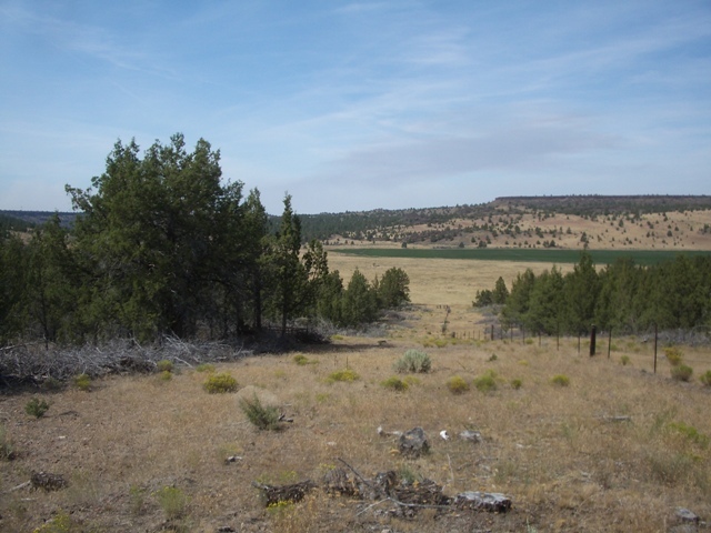
| Description | : | Located southwest of the Hay Creek cemetery. Oldest known extant headstone in Jefferson County (excluding the Warm Springs Reservation.) This baby was not buried in the cemetery, reportedly because of fear of infection; however, as this is a burial older than any known burials in Hay Creek Cemetery, this explanation is doubtful. To find this grave, get permission from the Hay Creek Office first (this burial is on private land). They are very kind and helpful. Walk along the fence line that begins at the orange gate to the Hay Creek Cemetery. Follow this south until... Read More |
frequently asked questions (FAQ):
-
Where is John Ellsworth McCoy Burial Site?
John Ellsworth McCoy Burial Site is located at SE Hay Creek Road Madras, Jefferson County ,Oregon , 97741USA.
-
John Ellsworth McCoy Burial Site cemetery's updated grave count on graveviews.com?
0 memorials
-
Where are the coordinates of the John Ellsworth McCoy Burial Site?
Latitude: 44.6241140
Longitude: -120.9503750

Nearby Cemetories:
1. Hay Creek Cemetery
Jefferson County, USA
Coordinate: 44.6282997, -120.9467010
2. John Pearce Burial Site
Willowdale, Jefferson County, USA
Coordinate: 44.6545390, -120.9659690
3. Richardson Family Ranch Cemetery
Madras, Jefferson County, USA
Coordinate: 44.7327200, -120.9757900
4. Mount Jefferson Memorial Park
Madras, Jefferson County, USA
Coordinate: 44.6458015, -121.1074982
5. Annie Cleek Burial Site
Grizzly, Jefferson County, USA
Coordinate: 44.5096230, -120.9429640
6. Grizzly Cemetery
Jefferson County, USA
Coordinate: 44.4902992, -120.9332962
7. Sagebrush Springs Lost Meek Campsite
Gateway, Jefferson County, USA
Coordinate: 44.7499940, -121.0568900
8. Lost Meek Rimrock Springs Burial Site
Grizzly, Jefferson County, USA
Coordinate: 44.4954450, -121.0546000
9. James Edwards Burial Site
Willowdale, Jefferson County, USA
Coordinate: 44.7702607, -121.0028482
10. Woods Cemetery
Jefferson County, USA
Coordinate: 44.7372017, -120.7583008
11. Culver IOOF Cemetery
Culver, Jefferson County, USA
Coordinate: 44.5344009, -121.1691971
12. Kampfer Family Cemetery
Gateway, Jefferson County, USA
Coordinate: 44.7981830, -121.0254010
13. Round Butte Cemetery
Jefferson County, USA
Coordinate: 44.6366997, -121.2097015
14. Milo Gard Cemetery
Madras, Jefferson County, USA
Coordinate: 44.7085991, -121.1877975
15. Brownhill Children Burial Site
Gateway, Jefferson County, USA
Coordinate: 44.7800680, -121.1071010
16. Gray Butte Cemetery
Culver, Jefferson County, USA
Coordinate: 44.4626007, -121.0992966
17. Methodist Hill Cemetery
Metolius, Jefferson County, USA
Coordinate: 44.5639000, -121.2091980
18. Dehler Grizzly Mountain Cemetery
Prineville, Crook County, USA
Coordinate: 44.4251800, -120.9356100
19. Maupin Cemetery
Ashwood, Jefferson County, USA
Coordinate: 44.7731018, -120.7536011
20. Whistling Smith Burial Site
Madras, Jefferson County, USA
Coordinate: 44.7057200, -121.2260600
21. McCoin Orchard Grave Site
Opal City, Jefferson County, USA
Coordinate: 44.4284000, -121.0888100
22. Seekseequa Cemetery
Jefferson County, USA
Coordinate: 44.6707993, -121.2930984
23. Kalama Cemetery
Jefferson County, USA
Coordinate: 44.7492400, -121.2751500
24. Seekseequa Cemetery
Jefferson County, USA
Coordinate: 44.6767006, -121.3125000