
| Memorials | : | 2 |
| Location | : | Lockney, Gilmer County, USA |
| Coordinate | : | 38.8755150, -80.9503720 |
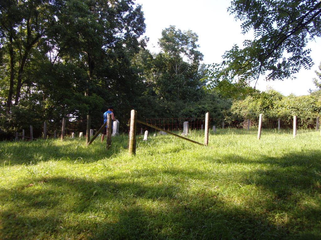
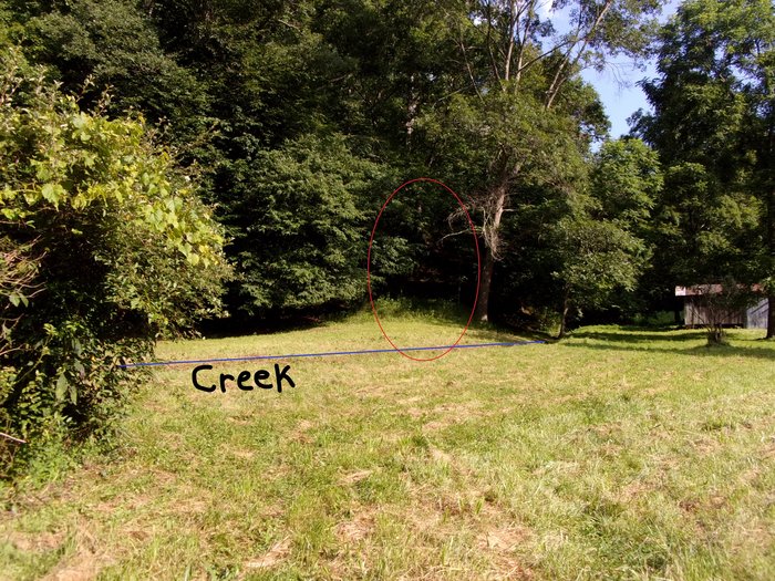
| Description | : | Lower Run Road is off of Middle Run Road. There is a white house with green roof, which is the old Johnny Godfrey farm, you have to pull into their drive & cross the property to the left of the house, up an old washed out narrow dirt path about 1/4 mile, on the left is the cemetery. |
frequently asked questions (FAQ):
-
Where is Johnny Godfrey Cemetery?
Johnny Godfrey Cemetery is located at Lower Run Road Lockney, Gilmer County ,West Virginia ,USA.
-
Johnny Godfrey Cemetery cemetery's updated grave count on graveviews.com?
2 memorials
-
Where are the coordinates of the Johnny Godfrey Cemetery?
Latitude: 38.8755150
Longitude: -80.9503720
Nearby Cemetories:
1. Turner Cemetery
Lockney, Gilmer County, USA
Coordinate: 38.8764000, -80.9555969
2. Riddle Cemetery
Lockney, Gilmer County, USA
Coordinate: 38.8854710, -80.9561810
3. Brown Cemetery
Gilmer County, USA
Coordinate: 38.8869070, -80.9272360
4. Riddle Cemetery
Hardman, Gilmer County, USA
Coordinate: 38.8961111, -80.9333333
5. Meadows Cemetery
Gilmer County, USA
Coordinate: 38.8506012, -80.9492035
6. Normantown Cemetery
Normantown, Gilmer County, USA
Coordinate: 38.8511040, -80.9403910
7. Cox Cemetery
Normantown, Gilmer County, USA
Coordinate: 38.8953300, -80.9170500
8. Snakeroot Cemetery
Gilmer County, USA
Coordinate: 38.8586006, -80.9910965
9. Maxwell-Collins Cemetery
Hardman, Gilmer County, USA
Coordinate: 38.9043220, -80.9195185
10. Mollohan Cemetery
Normantown, Gilmer County, USA
Coordinate: 38.8429600, -80.9262500
11. Upper Steer Run Baptist Church Cemetery
Gilmer County, USA
Coordinate: 38.8429370, -80.9227830
12. Collins Community Cemetery
Stumptown, Gilmer County, USA
Coordinate: 38.8459700, -80.9903630
13. Mount Pisgah Church Cemetery
Stumptown, Gilmer County, USA
Coordinate: 38.8469900, -80.9932700
14. Elihu-Stump Cemetery
Gilmer County, USA
Coordinate: 38.8403015, -80.9878006
15. Stump Cemetery
Stumptown, Gilmer County, USA
Coordinate: 38.8495000, -81.0030000
16. Michael Stump Cemetery-Steer Creek
Stumptown, Gilmer County, USA
Coordinate: 38.8273200, -80.9736800
17. Shiloh Church Cemetery
Glenville, Gilmer County, USA
Coordinate: 38.9002200, -80.8920300
18. Marks Cemetery
Cedarville, Gilmer County, USA
Coordinate: 38.8654400, -80.8835200
19. Chestnut Lick Community Church Cemetery
Gilmer County, USA
Coordinate: 38.8223950, -80.9426220
20. Beall Cemetery
Normantown, Gilmer County, USA
Coordinate: 38.8461306, -80.8910306
21. Tater Knob
Gilmer County, USA
Coordinate: 38.8988304, -80.8848038
22. Bethel-Bennett-Burns Cemetery
Grantsville, Calhoun County, USA
Coordinate: 38.9022000, -81.0153000
23. Job's Temple Cemetery
Glenville, Gilmer County, USA
Coordinate: 38.9322220, -80.9618810
24. Boggs Cemetery
Normantown, Gilmer County, USA
Coordinate: 38.8238160, -80.9127130