
| Memorials | : | 37 |
| Location | : | Stumptown, Gilmer County, USA |
| Coordinate | : | 38.8469900, -80.9932700 |
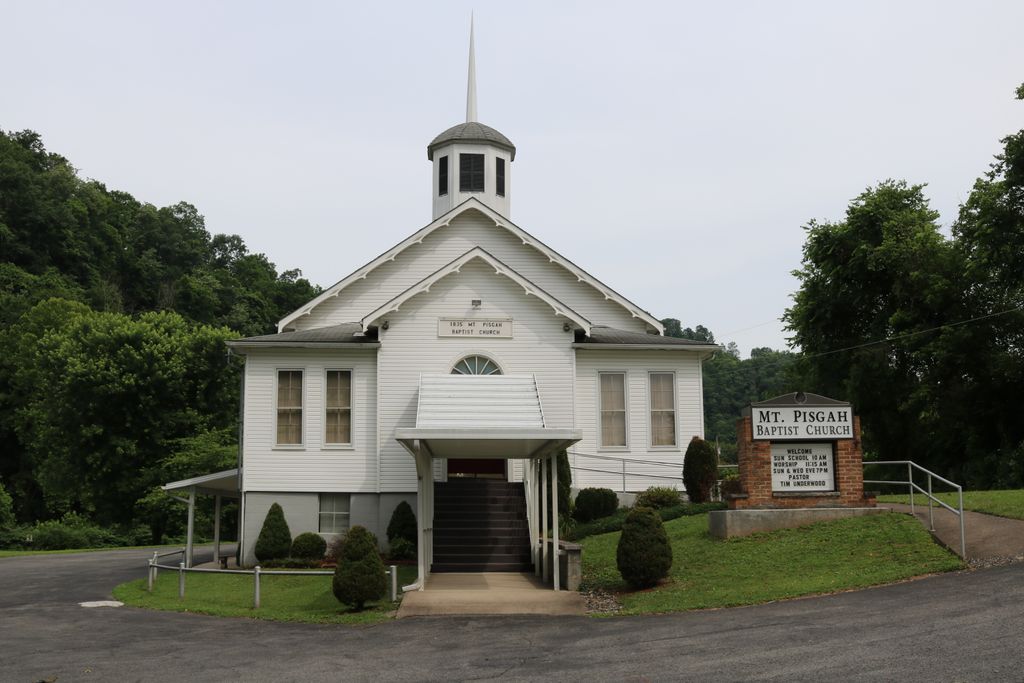
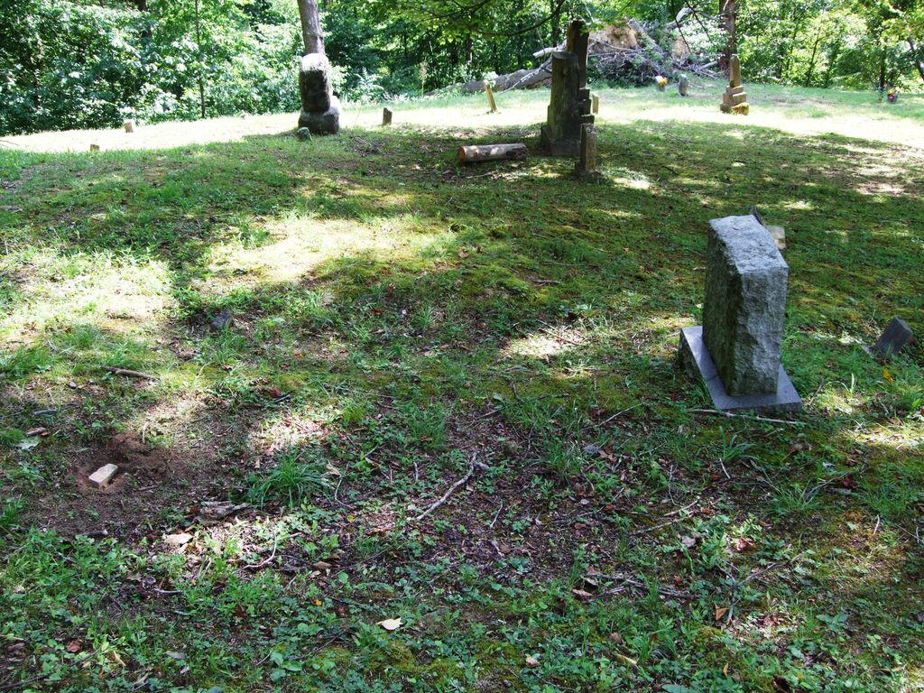
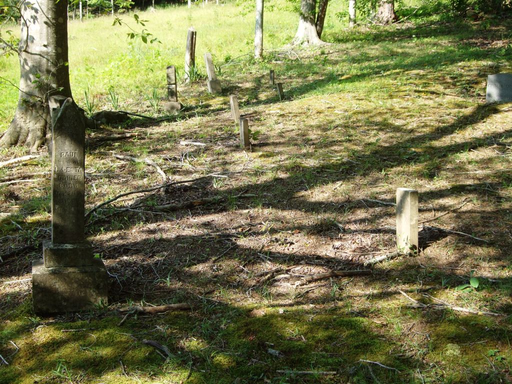
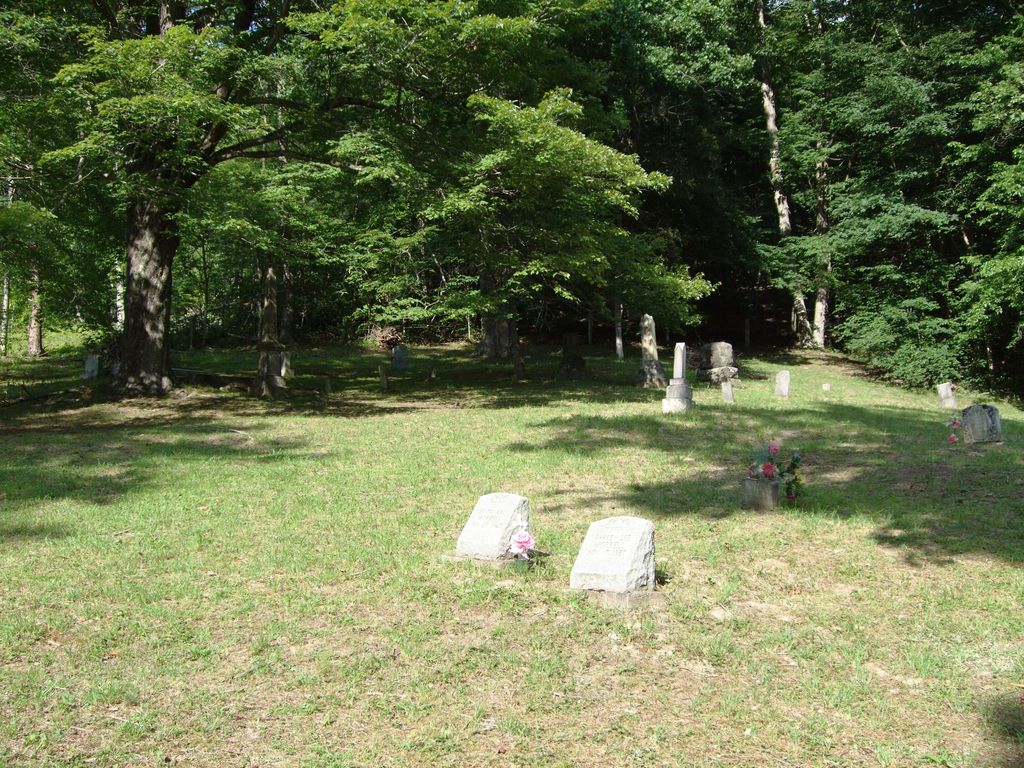
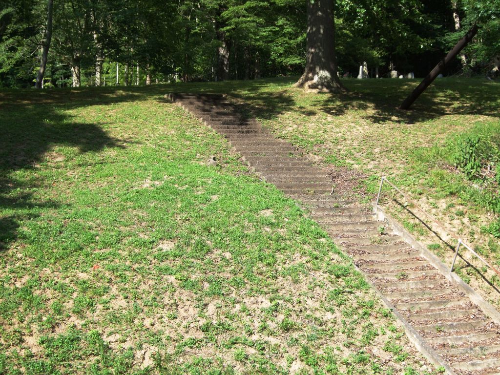
| Description | : | Mt. Pisgah Church Cemetery was also known as Mt. Pisgah Baptist Church Cemetery. It is located off US Hwy 119/33, in Stumptown WV (Gilmer County), across the road and up a steep embankment from the church. It is not the same as the Collins Community Cemetery, also called Stumptown Cemetery. Thirty-four burials in this cemetery were documented in "A Census of Cemeteries, Center District, Gilmer County, West Virginia", compiled by Doris M. and Mary E. Radabaugh, MAY 2006, pp. 123-124. (A copy of this may be downloaded from FamilySearch.org.) The earliest burial among those documented was that of Mahala Huffman Stump, wife... Read More |
frequently asked questions (FAQ):
-
Where is Mount Pisgah Church Cemetery?
Mount Pisgah Church Cemetery is located at Stumptown, Gilmer County ,West Virginia ,USA.
-
Mount Pisgah Church Cemetery cemetery's updated grave count on graveviews.com?
37 memorials
-
Where are the coordinates of the Mount Pisgah Church Cemetery?
Latitude: 38.8469900
Longitude: -80.9932700
Nearby Cemetories:
1. Collins Community Cemetery
Stumptown, Gilmer County, USA
Coordinate: 38.8459700, -80.9903630
2. Elihu-Stump Cemetery
Gilmer County, USA
Coordinate: 38.8403015, -80.9878006
3. Stump Cemetery
Stumptown, Gilmer County, USA
Coordinate: 38.8495000, -81.0030000
4. Snakeroot Cemetery
Gilmer County, USA
Coordinate: 38.8586006, -80.9910965
5. Michael Stump Cemetery-Steer Creek
Stumptown, Gilmer County, USA
Coordinate: 38.8273200, -80.9736800
6. Bennett Cemetery
Calhoun County, USA
Coordinate: 38.8636017, -81.0314026
7. Meadows Cemetery
Gilmer County, USA
Coordinate: 38.8506012, -80.9492035
8. Normantown Cemetery
Normantown, Gilmer County, USA
Coordinate: 38.8511040, -80.9403910
9. Turner Cemetery
Lockney, Gilmer County, USA
Coordinate: 38.8764000, -80.9555969
10. Johnny Godfrey Cemetery
Lockney, Gilmer County, USA
Coordinate: 38.8755150, -80.9503720
11. Chestnut Lick Community Church Cemetery
Gilmer County, USA
Coordinate: 38.8223950, -80.9426220
12. Susan Stump Cemetery
Shock, Gilmer County, USA
Coordinate: 38.8012660, -80.9749330
13. Riddle Cemetery
Lockney, Gilmer County, USA
Coordinate: 38.8854710, -80.9561810
14. Mollohan Cemetery
Normantown, Gilmer County, USA
Coordinate: 38.8429600, -80.9262500
15. Upper Steer Run Baptist Church Cemetery
Gilmer County, USA
Coordinate: 38.8429370, -80.9227830
16. Bethel-Bennett-Burns Cemetery
Grantsville, Calhoun County, USA
Coordinate: 38.9022000, -81.0153000
17. Roling Cemetery
Calhoun County, USA
Coordinate: 38.8521996, -81.0702972
18. Brown Cemetery
Gilmer County, USA
Coordinate: 38.8869070, -80.9272360
19. Oak Grove Cemetery
Normantown, Gilmer County, USA
Coordinate: 38.8061420, -80.9267360
20. Boggs Cemetery
Normantown, Gilmer County, USA
Coordinate: 38.8238160, -80.9127130
21. Riddle Cemetery
Hardman, Gilmer County, USA
Coordinate: 38.8961111, -80.9333333
22. Cox Cemetery
Normantown, Gilmer County, USA
Coordinate: 38.8953300, -80.9170500
23. Albert VanHorn Cemetery
Orton, Gilmer County, USA
Coordinate: 38.8178020, -80.8983150
24. Beall Cemetery
Normantown, Gilmer County, USA
Coordinate: 38.8461306, -80.8910306