
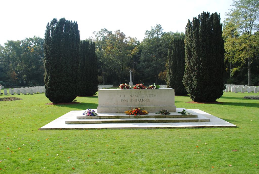
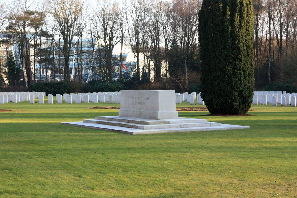
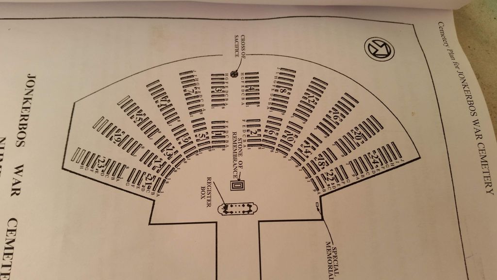
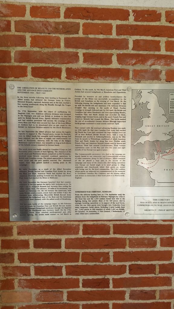
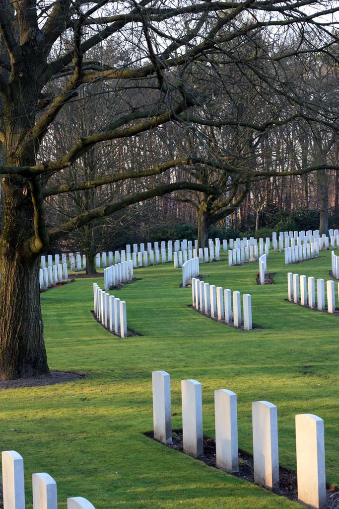
| Memorials | : | 1 |
| Location | : | Nijmegen, Nijmegen Municipality, Netherlands |
| Coordinate | : | 51.8222800, 5.8303900 |
frequently asked questions (FAQ):
-
Where is Jonkerbos War Cemetery?
Jonkerbos War Cemetery is located at Nijmegen, Nijmegen Municipality ,Gelderland ,Netherlands.
-
Jonkerbos War Cemetery cemetery's updated grave count on graveviews.com?
1 memorials
-
Where are the coordinates of the Jonkerbos War Cemetery?
Latitude: 51.8222800
Longitude: 5.8303900


Nearby Cemetories:
1. Vredehof Cemetery
Nijmegen, Nijmegen Municipality, Netherlands
Coordinate: 51.8147800, 5.8286100
2. Begraafplaats Graafseweg
Nijmegen, Nijmegen Municipality, Netherlands
Coordinate: 51.8310800, 5.8324100
3. Begraafplaats Jonkerbos
Nijmegen, Nijmegen Municipality, Netherlands
Coordinate: 51.8134300, 5.8243700
4. Neerbosch Cemetery
Nijmegen, Nijmegen Municipality, Netherlands
Coordinate: 51.8353200, 5.8192130
5. Algemene Begraafplaats Stenenkruisstraat
Nijmegen, Nijmegen Municipality, Netherlands
Coordinate: 51.8395021, 5.8679939
6. Rustoord Cemetery
Nijmegen, Nijmegen Municipality, Netherlands
Coordinate: 51.8305100, 5.8808600
7. Joodse Begraafplaats
Nijmegen, Nijmegen Municipality, Netherlands
Coordinate: 51.8308300, 5.8836000
8. Heilig Landstichting Burial Park
Heilig Landstichting, Berg en Dal Municipality, Netherlands
Coordinate: 51.8173600, 5.8907100
9. Begraafplaats Het Witte Kerkje
Ubbergen, Berg en Dal Municipality, Netherlands
Coordinate: 51.8361166, 5.9018954
10. Haaghove
Beuningen, Beuningen Municipality, Netherlands
Coordinate: 51.8666649, 5.7850499
11. Wijchen Roman Catholic Cemetery
Wijchen, Wijchen Municipality, Netherlands
Coordinate: 51.8057800, 5.7257300
12. Groesbeek Canadian War Cemetery and Memorial
Groesbeek, Berg en Dal Municipality, Netherlands
Coordinate: 51.7982900, 5.9321900
13. Slijk-Ewijk General Cemetery
Slijk-Ewijk, Overbetuwe Municipality, Netherlands
Coordinate: 51.8839100, 5.7854400
14. Mook War Cemetery
Mook, Mook en Middelaar Municipality, Netherlands
Coordinate: 51.7541200, 5.8854300
15. Mook-en-Middelaar Roman Catholic Churchyard
Mook, Mook en Middelaar Municipality, Netherlands
Coordinate: 51.7531600, 5.8854200
16. St Johannes de Doperkerk Begraafplaats
Balgoij, Wijchen Municipality, Netherlands
Coordinate: 51.7822580, 5.7134373
17. Joodse Begraafplaats
Grave Municipality, Netherlands
Coordinate: 51.7548700, 5.7454100
18. Algemene begraafplaats
Grave Municipality, Netherlands
Coordinate: 51.7547000, 5.7454600
19. Grave Roman Catholic Cemetery
Grave, Grave Municipality, Netherlands
Coordinate: 51.7545100, 5.7454800
20. Beers Rooms Katholieke Begraafplaats
Beers, Cuijk Municipality, Netherlands
Coordinate: 51.7261800, 5.8265400
21. Andelst Kerkhof
Andelst, Overbetuwe Municipality, Netherlands
Coordinate: 51.9057800, 5.7278200
22. Bergharen Protestant Churchyard
Bergharen, Wijchen Municipality, Netherlands
Coordinate: 51.8480900, 5.6642300
23. Ravenstein Roman Catholic Cemetery
Ravenstein, Oss Municipality, Netherlands
Coordinate: 51.7963700, 5.6497700
24. Saint Bonifacius
Niel, Kreis Kleve, Germany
Coordinate: 51.8261350, 6.0182900