
| Memorials | : | 0 |
| Location | : | Nijmegen, Nijmegen Municipality, Netherlands |
| Coordinate | : | 51.8305100, 5.8808600 |
| Description | : | The town of Nijmegen lies 16 kilometres south of Arnhem and 48 kilometres east-north-east of 'S-Hertogenbosch on the south bank of the river Waal. The cemetery is on the south eastern side of the town in Postweg, a road which runs parallel with the N842 to Groesbeek. Travelling towards Groesbeek from Nijmegen along the N842, turn left at the roundabout into Meerwijkselaan, then at the first crossroads turn right into Postweg. Opening hours 1 March to 30 September : 09.00 hrs - 20.00 hrs 1 October to end of February : 09.00 hrs - 17.00 hrs |
frequently asked questions (FAQ):
-
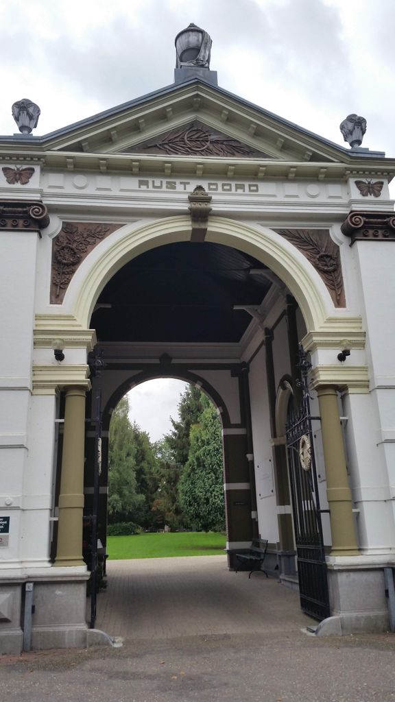
Where is Rustoord Cemetery?
Rustoord Cemetery is located at Nijmegen, Nijmegen Municipality ,Gelderland ,Netherlands.
-
Rustoord Cemetery cemetery's updated grave count on graveviews.com?
0 memorials
-
Where are the coordinates of the Rustoord Cemetery?
Latitude: 51.8305100
Longitude: 5.8808600

Nearby Cemetories:
1. Joodse Begraafplaats
Nijmegen, Nijmegen Municipality, Netherlands
Coordinate: 51.8308300, 5.8836000
2. Algemene Begraafplaats Stenenkruisstraat
Nijmegen, Nijmegen Municipality, Netherlands
Coordinate: 51.8395021, 5.8679939
3. Begraafplaats Het Witte Kerkje
Ubbergen, Berg en Dal Municipality, Netherlands
Coordinate: 51.8361166, 5.9018954
4. Heilig Landstichting Burial Park
Heilig Landstichting, Berg en Dal Municipality, Netherlands
Coordinate: 51.8173600, 5.8907100
5. Begraafplaats Graafseweg
Nijmegen, Nijmegen Municipality, Netherlands
Coordinate: 51.8310800, 5.8324100
6. Jonkerbos War Cemetery
Nijmegen, Nijmegen Municipality, Netherlands
Coordinate: 51.8222800, 5.8303900
7. Vredehof Cemetery
Nijmegen, Nijmegen Municipality, Netherlands
Coordinate: 51.8147800, 5.8286100
8. Neerbosch Cemetery
Nijmegen, Nijmegen Municipality, Netherlands
Coordinate: 51.8353200, 5.8192130
9. Begraafplaats Jonkerbos
Nijmegen, Nijmegen Municipality, Netherlands
Coordinate: 51.8134300, 5.8243700
10. Groesbeek Canadian War Cemetery and Memorial
Groesbeek, Berg en Dal Municipality, Netherlands
Coordinate: 51.7982900, 5.9321900
11. Haaghove
Beuningen, Beuningen Municipality, Netherlands
Coordinate: 51.8666649, 5.7850499
12. Mook War Cemetery
Mook, Mook en Middelaar Municipality, Netherlands
Coordinate: 51.7541200, 5.8854300
13. Mook-en-Middelaar Roman Catholic Churchyard
Mook, Mook en Middelaar Municipality, Netherlands
Coordinate: 51.7531600, 5.8854200
14. Slijk-Ewijk General Cemetery
Slijk-Ewijk, Overbetuwe Municipality, Netherlands
Coordinate: 51.8839100, 5.7854400
15. Saint Bonifacius
Niel, Kreis Kleve, Germany
Coordinate: 51.8261350, 6.0182900
16. Wijchen Roman Catholic Cemetery
Wijchen, Wijchen Municipality, Netherlands
Coordinate: 51.8057800, 5.7257300
17. Beers Rooms Katholieke Begraafplaats
Beers, Cuijk Municipality, Netherlands
Coordinate: 51.7261800, 5.8265400
18. Joodse Begraafplaats
Grave Municipality, Netherlands
Coordinate: 51.7548700, 5.7454100
19. Algemene begraafplaats
Grave Municipality, Netherlands
Coordinate: 51.7547000, 5.7454600
20. Grave Roman Catholic Cemetery
Grave, Grave Municipality, Netherlands
Coordinate: 51.7545100, 5.7454800
21. Milsbeek War Cemetery
Milsbeek, Gennep Municipality, Netherlands
Coordinate: 51.7254400, 5.9511900
22. St Johannes de Doperkerk Begraafplaats
Balgoij, Wijchen Municipality, Netherlands
Coordinate: 51.7822580, 5.7134373
23. Friedhof Nütterden
Kranenburg, Kreis Kleve, Germany
Coordinate: 51.7904340, 6.0629380
24. Friedhof Bimmen
Bimmen, Kreis Kleve, Germany
Coordinate: 51.8588737, 6.0695000