
| Memorials | : | 0 |
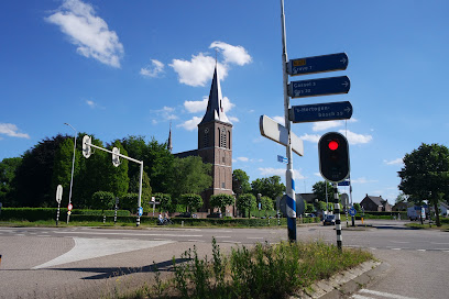
| Location | : | Beers, Cuijk Municipality, Netherlands |
| Coordinate | : | 51.7261800, 5.8265400 |
frequently asked questions (FAQ):
-
Where is Beers Rooms Katholieke Begraafplaats?
Beers Rooms Katholieke Begraafplaats is located at Beers, Cuijk Municipality ,Noord-Brabant ,Netherlands.
-
Beers Rooms Katholieke Begraafplaats cemetery's updated grave count on graveviews.com?
0 memorials
-
Where are the coordinates of the Beers Rooms Katholieke Begraafplaats?
Latitude: 51.7261800
Longitude: 5.8265400
Nearby Cemetories:
1. Mook-en-Middelaar Roman Catholic Churchyard
Mook, Mook en Middelaar Municipality, Netherlands
Coordinate: 51.7531600, 5.8854200
2. Mook War Cemetery
Mook, Mook en Middelaar Municipality, Netherlands
Coordinate: 51.7541200, 5.8854300
3. Grave Roman Catholic Cemetery
Grave, Grave Municipality, Netherlands
Coordinate: 51.7545100, 5.7454800
4. Algemene begraafplaats
Grave Municipality, Netherlands
Coordinate: 51.7547000, 5.7454600
5. Joodse Begraafplaats
Grave Municipality, Netherlands
Coordinate: 51.7548700, 5.7454100
6. Milsbeek War Cemetery
Milsbeek, Gennep Municipality, Netherlands
Coordinate: 51.7254400, 5.9511900
7. Begraafplaats Jonkerbos
Nijmegen, Nijmegen Municipality, Netherlands
Coordinate: 51.8134300, 5.8243700
8. Vredehof Cemetery
Nijmegen, Nijmegen Municipality, Netherlands
Coordinate: 51.8147800, 5.8286100
9. St Johannes de Doperkerk Begraafplaats
Balgoij, Wijchen Municipality, Netherlands
Coordinate: 51.7822580, 5.7134373
10. Jonkerbos War Cemetery
Nijmegen, Nijmegen Municipality, Netherlands
Coordinate: 51.8222800, 5.8303900
11. Groesbeek Canadian War Cemetery and Memorial
Groesbeek, Berg en Dal Municipality, Netherlands
Coordinate: 51.7982900, 5.9321900
12. Zeeland Roman Catholic Churchyard
Zeeland, Landerd Municipality, Netherlands
Coordinate: 51.6975100, 5.6731500
13. Heilig Landstichting Burial Park
Heilig Landstichting, Berg en Dal Municipality, Netherlands
Coordinate: 51.8173600, 5.8907100
14. Ottersum Roman Catholic Cemetery
Ottersum, Gennep Municipality, Netherlands
Coordinate: 51.7020800, 5.9824600
15. Wijchen Roman Catholic Cemetery
Wijchen, Wijchen Municipality, Netherlands
Coordinate: 51.8057800, 5.7257300
16. Begraafplaats Graafseweg
Nijmegen, Nijmegen Municipality, Netherlands
Coordinate: 51.8310800, 5.8324100
17. Sint Anthonis Roman Catholic Churchyard
Sint Anthonis, Sint Anthonis Municipality, Netherlands
Coordinate: 51.6269800, 5.8830600
18. Neerbosch Cemetery
Nijmegen, Nijmegen Municipality, Netherlands
Coordinate: 51.8353200, 5.8192130
19. Rustoord Cemetery
Nijmegen, Nijmegen Municipality, Netherlands
Coordinate: 51.8305100, 5.8808600
20. Joodse Begraafplaats
Nijmegen, Nijmegen Municipality, Netherlands
Coordinate: 51.8308300, 5.8836000
21. Odiliapeel Roman Catholic Cemetery
Odiliapeel, Uden Municipality, Netherlands
Coordinate: 51.6435700, 5.7031100
22. Boxmeer Roman Catholic Churchyard
Boxmeer, Boxmeer Municipality, Netherlands
Coordinate: 51.6427910, 5.9497830
23. Algemene Begraafplaats Stenenkruisstraat
Nijmegen, Nijmegen Municipality, Netherlands
Coordinate: 51.8395021, 5.8679939
24. Natuurbegraafplaats Maashorst
Schaijkse Hoek, Landerd Municipality, Netherlands
Coordinate: 51.7235808, 5.6372385