
| Memorials | : | 0 |
| Location | : | Oosterhout, Oosterhout Municipality, Netherlands |
| Coordinate | : | 51.6396000, 4.8201600 |
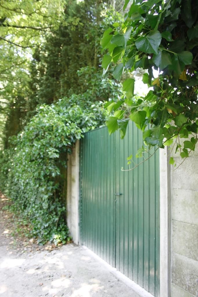
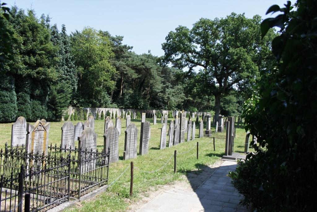
| Description | : | Entrance to Oosterhout. Permission must be obtained for entry, as in many Jewish cemeteries in the Netherlands. Since 1827, this cemetery has been used by the Jewish communities of Oosterhout, Breda and Geertruidenberg. |
frequently asked questions (FAQ):
-
Where is Joodse Begraafplaats?
Joodse Begraafplaats is located at Pannehuisstraat 21 Oosterhout, Oosterhout Municipality ,Noord-Brabant , 4911 BRNetherlands.
-
Joodse Begraafplaats cemetery's updated grave count on graveviews.com?
0 memorials
-
Where are the coordinates of the Joodse Begraafplaats?
Latitude: 51.6396000
Longitude: 4.8201600
Nearby Cemetories:
1. Oosterhout Protestant Cemetery
Oosterhout, Oosterhout Municipality, Netherlands
Coordinate: 51.6415100, 4.8510800
2. R.K. Begraafplaats Heilige Cornelius
Den Hout, Oosterhout Municipality, Netherlands
Coordinate: 51.6600504, 4.8136076
3. St. John the Baptist Cemetery
Oosterhout, Oosterhout Municipality, Netherlands
Coordinate: 51.6410220, 4.8616900
4. Begraafplaats Teteringen
Teteringen, Breda Municipality, Netherlands
Coordinate: 51.6112929, 4.8165026
5. Oude Begraafplaats
Made, Drimmelen Municipality, Netherlands
Coordinate: 51.6722400, 4.7854625
6. Made General Cemetery
Made, Drimmelen Municipality, Netherlands
Coordinate: 51.6709734, 4.7794867
7. Made-en-Drimmelen Protestant Churchyard
Made, Drimmelen Municipality, Netherlands
Coordinate: 51.6790700, 4.7977900
8. Terheijden Antonius Abt Kerkhof
Terheijden, Drimmelen Municipality, Netherlands
Coordinate: 51.6425700, 4.7518400
9. Begraafplaats van de Bernardusparochie
Made, Drimmelen Municipality, Netherlands
Coordinate: 51.6823618, 4.7934563
10. R.K.Begraafplaats St Joannes de Doper
Oosteind, Oosterhout Municipality, Netherlands
Coordinate: 51.6451595, 4.9015936
11. Begraafplaats Parochie H Gummarus
Wagenberg, Drimmelen Municipality, Netherlands
Coordinate: 51.6646339, 4.7468280
12. Begraafplaats St Marcoen
Dorst, Oosterhout Municipality, Netherlands
Coordinate: 51.5906301, 4.8581754
13. Dongen De Kremer Cemetery
Dongen, Dongen Municipality, Netherlands
Coordinate: 51.6300790, 4.9118010
14. Our Lady's Church
Breda, Breda Municipality, Netherlands
Coordinate: 51.5890900, 4.7753160
15. Breda Grote Kerk
Breda, Breda Municipality, Netherlands
Coordinate: 51.5890000, 4.7750000
16. Markendaalse Kerk Cemetery
Breda, Breda Municipality, Netherlands
Coordinate: 51.5887628, 4.7710466
17. Oude Begraafplaats
Oud-Drimmelen, Drimmelen Municipality, Netherlands
Coordinate: 51.6953428, 4.7815527
18. Sint-Bernardus Kerkhof
Hooge Zwaluwe, Drimmelen Municipality, Netherlands
Coordinate: 51.6852900, 4.7486200
19. Raamsdonk Roman Catholic Cemetery
Raamsdonk, Geertruidenberg Municipality, Netherlands
Coordinate: 51.6875200, 4.9059100
20. Protestantse Begraafplaats Hooge Zwaluwe
Hooge Zwaluwe, Drimmelen Municipality, Netherlands
Coordinate: 51.6909173, 4.7376352
21. Breda Polish Military Cemetery
Breda, Breda Municipality, Netherlands
Coordinate: 51.5826900, 4.7472600
22. Breda Begraafplaats Vogelenzang
Breda, Breda Municipality, Netherlands
Coordinate: 51.5687100, 4.7912500
23. Breda Begraafplaats Overakker
Breda, Breda Municipality, Netherlands
Coordinate: 51.5671900, 4.8036700
24. Bavel Katholieke Begraafplaats
Bavel, Breda Municipality, Netherlands
Coordinate: 51.5659700, 4.8294800