
| Memorials | : | 0 |
| Location | : | Katwijk aan den Rijn, Katwijk Municipality, Netherlands |
| Coordinate | : | 52.1982800, 4.4214500 |
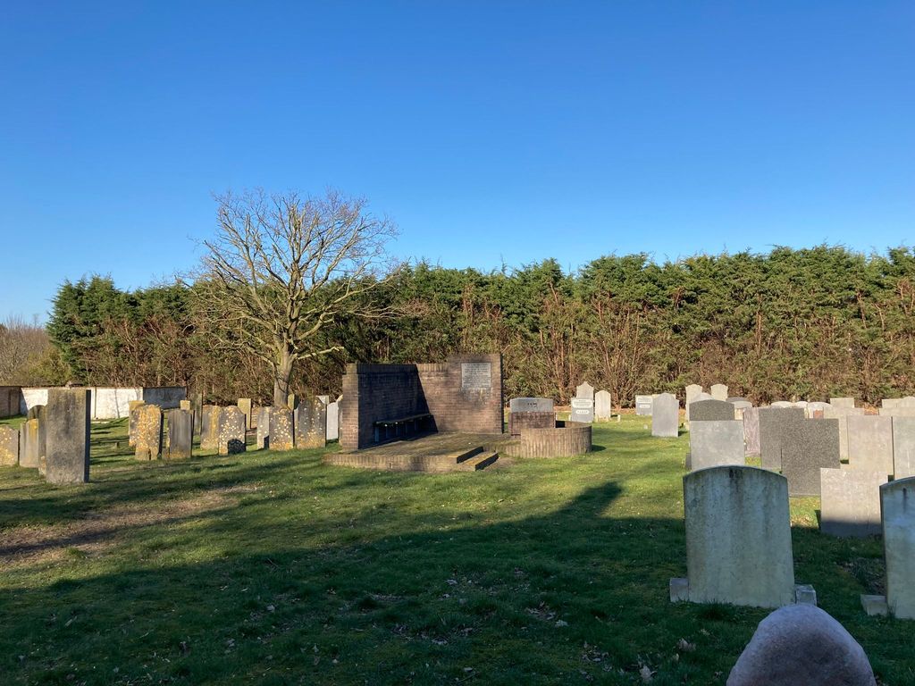
| Description | : | In 1719, the Leiden Jewish community was granted a cemetery, located at the Blauwe Bolwerk. The cemetery was vandalized during the 1750's and, as a result, in 1758 the community leased ground for a new cemetery on the Rijnstraat in Katwijk. The land was bought in 1835 from the Van Wassenaer family (Catwijck branch) by the Jewish community of Leiden. Since 1978, the cemetery is surrounded by a wall and has been designated as a national monument. The cemetery also contains a monument for the Jewish victims of the Leiden gunpowder disaster of 1807. |
frequently asked questions (FAQ):
-
Where is Joodse Begraafplaats?
Joodse Begraafplaats is located at Rijnstraat 151 Katwijk aan den Rijn, Katwijk Municipality ,Zuid-Holland , 2223 AHNetherlands.
-
Joodse Begraafplaats cemetery's updated grave count on graveviews.com?
0 memorials
-
Where are the coordinates of the Joodse Begraafplaats?
Latitude: 52.1982800
Longitude: 4.4214500
Nearby Cemetories:
1. Begraafplaats Paters Jezuïeten De Wilbert
Katwijk aan den Rijn, Katwijk Municipality, Netherlands
Coordinate: 52.1932480, 4.4288680
2. Begraafplaats Duinrust
Katwijk aan Zee, Katwijk Municipality, Netherlands
Coordinate: 52.1989930, 4.4013330
3. Begraafplaats Sandtlaan
Rijnsburg, Katwijk Municipality, Netherlands
Coordinate: 52.1894150, 4.4365700
4. Algemene Begraafplaats Katwijk
Katwijk aan Zee, Katwijk Municipality, Netherlands
Coordinate: 52.2018210, 4.4011560
5. Begraafplaats van Hervormde Gemeente Rijnsburg
Rijnsburg, Katwijk Municipality, Netherlands
Coordinate: 52.1895160, 4.4431310
6. Abdij van Rijnsburg
Rijnsburg, Katwijk Municipality, Netherlands
Coordinate: 52.1896310, 4.4436810
7. Algemene Begraafplaats
Valkenburg, Katwijk Municipality, Netherlands
Coordinate: 52.1802730, 4.4314420
8. Begraafplaats Groene Kerk
Oegstgeest, Oegstgeest Municipality, Netherlands
Coordinate: 52.1938800, 4.4677900
9. Rooms-Katholiek Kerkhof H. Willibrorduskerk
Oegstgeest, Oegstgeest Municipality, Netherlands
Coordinate: 52.1804520, 4.4634530
10. Begraafplaats Rhijnhof
Leiden, Leiden Municipality, Netherlands
Coordinate: 52.1621700, 4.4516900
11. Noordwijk General Cemetery
Noordwijk, Noordwijk Municipality, Netherlands
Coordinate: 52.2382700, 4.4349900
12. Rooms Katholiek Kerkhof St. Bartholomeuskerk
Voorhout, Teylingen Municipality, Netherlands
Coordinate: 52.2211780, 4.4832100
13. Rooms-Katholieke Begraafplaats Noordwijk
Noordwijk-Binnen, Noordwijk Municipality, Netherlands
Coordinate: 52.2388008, 4.4534885
14. Rooms Katholieke Begraafplaats Sint-Matthias
Warmond, Teylingen Municipality, Netherlands
Coordinate: 52.1984410, 4.5006280
15. Begraafplaats De Oude Toren
Warmond, Teylingen Municipality, Netherlands
Coordinate: 52.2007210, 4.5012890
16. Vrouwekerk
Leiden, Leiden Municipality, Netherlands
Coordinate: 52.1610850, 4.4894850
17. Dorpskerk Begraafplaats
Wassenaar, Wassenaar Municipality, Netherlands
Coordinate: 52.1452800, 4.3900900
18. Pieterskerk
Leiden, Leiden Municipality, Netherlands
Coordinate: 52.1576200, 4.4877290
19. Hooglandse Kerk
Leiden, Leiden Municipality, Netherlands
Coordinate: 52.1579230, 4.4938010
20. Rooms Katholieke Begraafplaats Sint Willibrordus
Wassenaar, Wassenaar Municipality, Netherlands
Coordinate: 52.1399480, 4.3906280
21. Rooms-Katholieke Begraafplaats Zijlpoort
Leiden, Leiden Municipality, Netherlands
Coordinate: 52.1622100, 4.5042700
22. Begraafplaats Groenesteeg
Leiden, Leiden Municipality, Netherlands
Coordinate: 52.1573700, 4.5029200
23. Rooms-Katholieke Begraafplaats Sint-Pancratiuskerk
Sassenheim, Teylingen Municipality, Netherlands
Coordinate: 52.2240250, 4.5199560
24. Rooms-Katholieke Begraafplaats Sint Victor
Noordwijkerhout, Noordwijkerhout Municipality, Netherlands
Coordinate: 52.2506050, 4.4897270