
| Memorials | : | 1 |
| Location | : | Allendale, Northumberland Unitary Authority, England |
| Coordinate | : | 54.9053170, -2.3075580 |
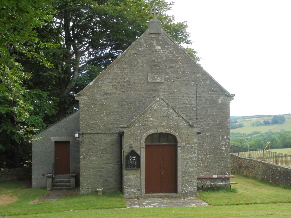
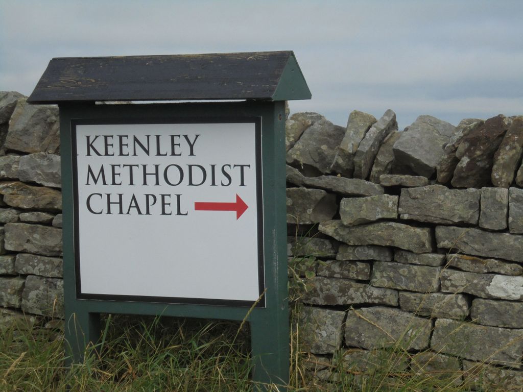
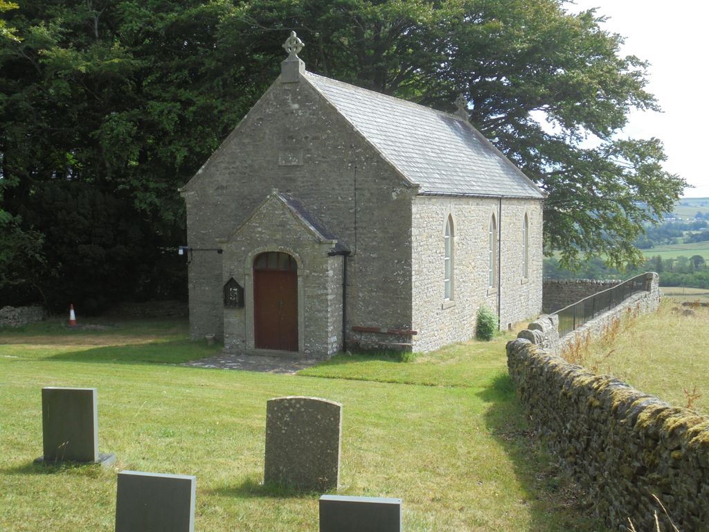
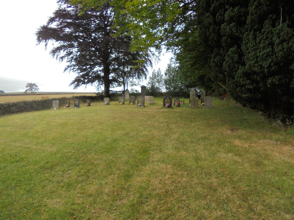
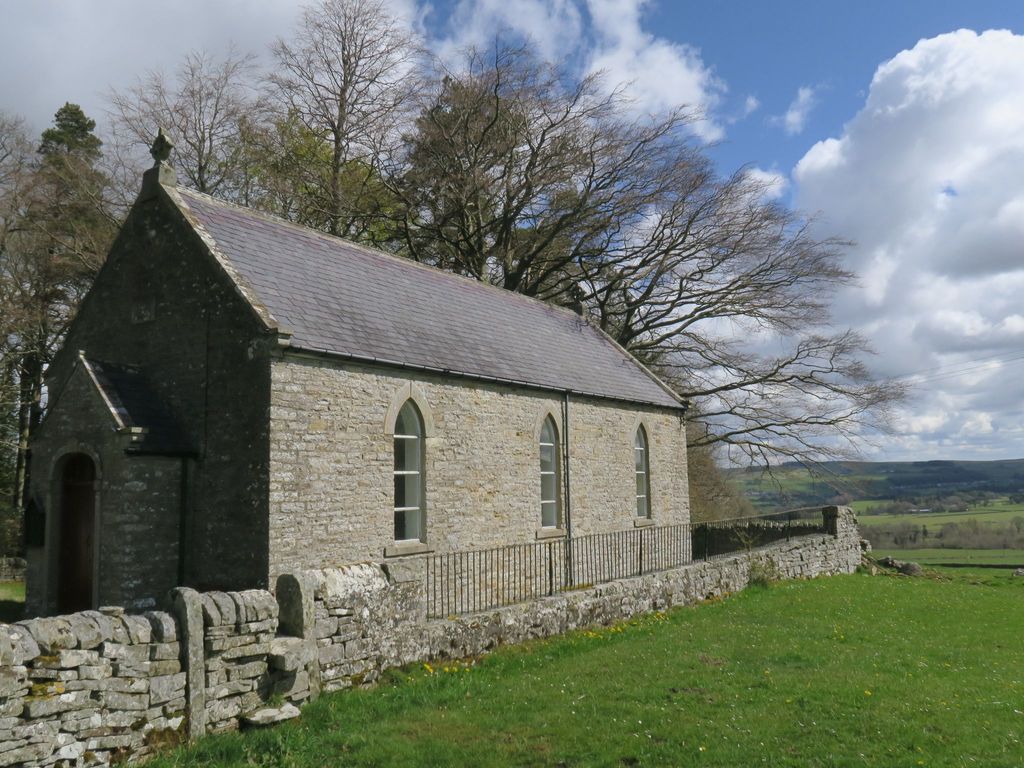
| Description | : | The present day Keenley Chapel was re-built in 1875 and can be found down a lane off the minor road between Allendale to Bearsbridge. Services still take place to serve the local community. It has a small burial ground. |
frequently asked questions (FAQ):
-
Where is Keenley Methodist Chapel Graveyard?
Keenley Methodist Chapel Graveyard is located at Allendale, Northumberland Unitary Authority ,Northumberland , NE47 9NUEngland.
-
Keenley Methodist Chapel Graveyard cemetery's updated grave count on graveviews.com?
1 memorials
-
Where are the coordinates of the Keenley Methodist Chapel Graveyard?
Latitude: 54.9053170
Longitude: -2.3075580
Nearby Cemetories:
1. High House Methodist Chapel Graveyard
Allendale, Northumberland Unitary Authority, England
Coordinate: 54.8844090, -2.3285218
2. Allendale Old Cemetery
Allendale, Northumberland Unitary Authority, England
Coordinate: 54.8941650, -2.2612690
3. Allendale Woodland Cemetery
Allendale, Northumberland Unitary Authority, England
Coordinate: 54.8932624, -2.2618136
4. Friends Meeting House
Allendale, Northumberland Unitary Authority, England
Coordinate: 54.8957750, -2.2598490
5. St. Cuthbert's Churchyard
Allendale, Northumberland Unitary Authority, England
Coordinate: 54.8978260, -2.2545020
6. Limestone Brae Burial Ground
Allendale, Northumberland Unitary Authority, England
Coordinate: 54.8441180, -2.3233520
7. Limestone Brae, Wesleyan Methodist Chapel
Allendale, Northumberland Unitary Authority, England
Coordinate: 54.8425890, -2.3207386
8. Beltingham Cemetery
Beltingham, Northumberland Unitary Authority, England
Coordinate: 54.9690700, -2.3312200
9. St. Cuthbert's Churchyard
Beltingham, Northumberland Unitary Authority, England
Coordinate: 54.9694330, -2.3305080
10. Haydon Bridge Cemetery
Haydon Bridge, Northumberland Unitary Authority, England
Coordinate: 54.9694700, -2.2467715
11. All Hallows Churchyard
Henshaw, Northumberland Unitary Authority, England
Coordinate: 54.9731030, -2.3704408
12. St Cuthbert Churchyard
Haydon Bridge, Northumberland Unitary Authority, England
Coordinate: 54.9740620, -2.2473570
13. Haydon Bridge Churchyard Extension
Haydon Bridge, Northumberland Unitary Authority, England
Coordinate: 54.9766250, -2.2478820
14. Carrshield Anglican Churchyard
Allendale, Northumberland Unitary Authority, England
Coordinate: 54.8229010, -2.3083050
15. Haydon Old Churchyard
Haydon Bridge, Northumberland Unitary Authority, England
Coordinate: 54.9818710, -2.2483010
16. St Peter in the Forest
Allendale, Northumberland Unitary Authority, England
Coordinate: 54.8313100, -2.2350600
17. Friends Meeting House Cemetery
Coanwood, Northumberland Unitary Authority, England
Coordinate: 54.9241920, -2.4540450
18. Holy Cross Churchyard
Haltwhistle, Northumberland Unitary Authority, England
Coordinate: 54.9699900, -2.4583480
19. Haltwhistle Cemetery
Haltwhistle, Northumberland Unitary Authority, England
Coordinate: 54.9652600, -2.4740100
20. Nenthead Cemetery
Nenthead, Eden District, England
Coordinate: 54.7947260, -2.3536210
21. St Jude's Churchyard
Knarsdale, Northumberland Unitary Authority, England
Coordinate: 54.8817960, -2.5024290
22. Holy Paraclete Churchyard
Kirkhaugh, Northumberland Unitary Authority, England
Coordinate: 54.8385700, -2.4695550
23. St John's Churchyard
Nenthead, Eden District, England
Coordinate: 54.7903000, -2.3434180
24. St Mary & St Patrick Churchyard
Lambley, Northumberland Unitary Authority, England
Coordinate: 54.9209060, -2.5122140