
| Memorials | : | 19 |
| Location | : | Allendale, Northumberland Unitary Authority, England |
| Coordinate | : | 54.8313100, -2.2350600 |
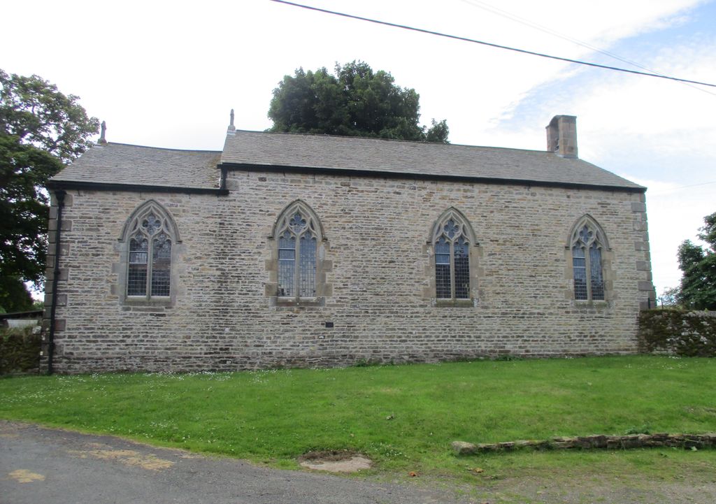
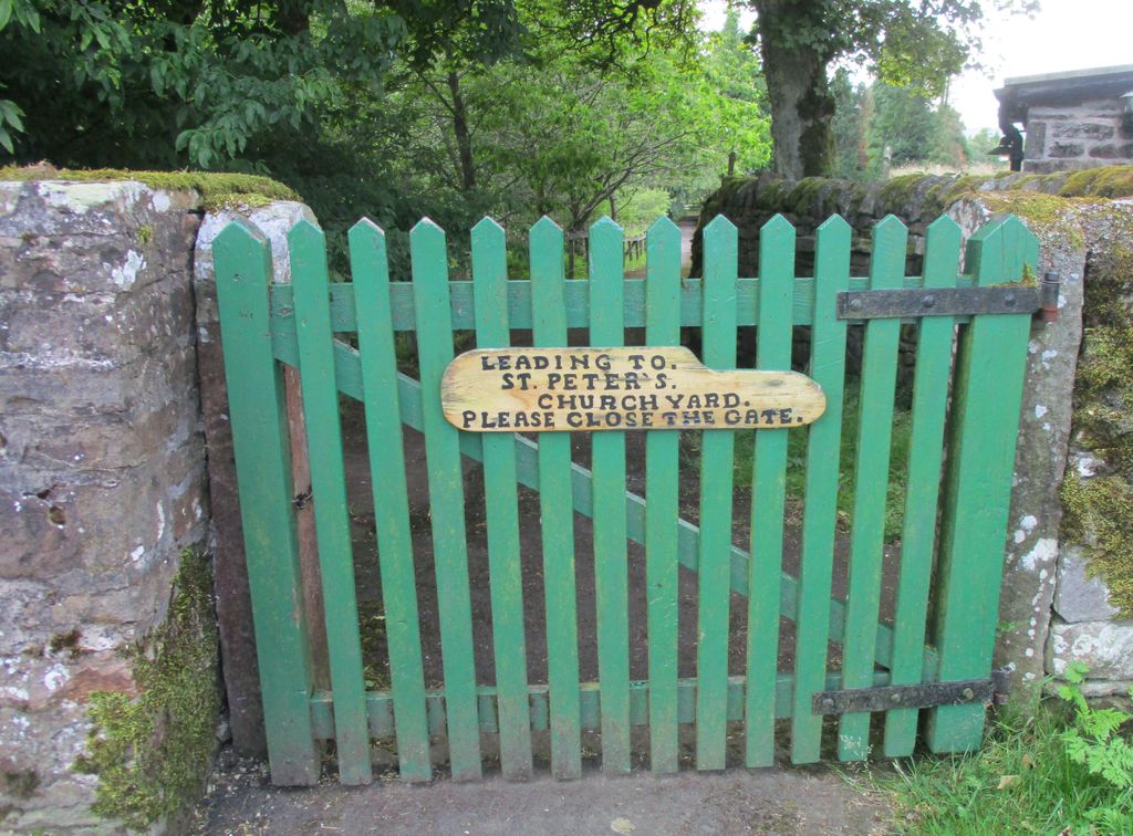
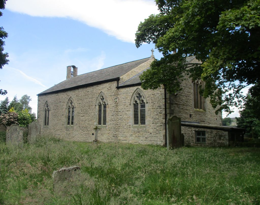
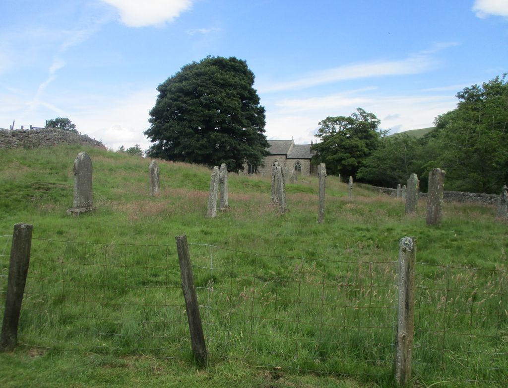
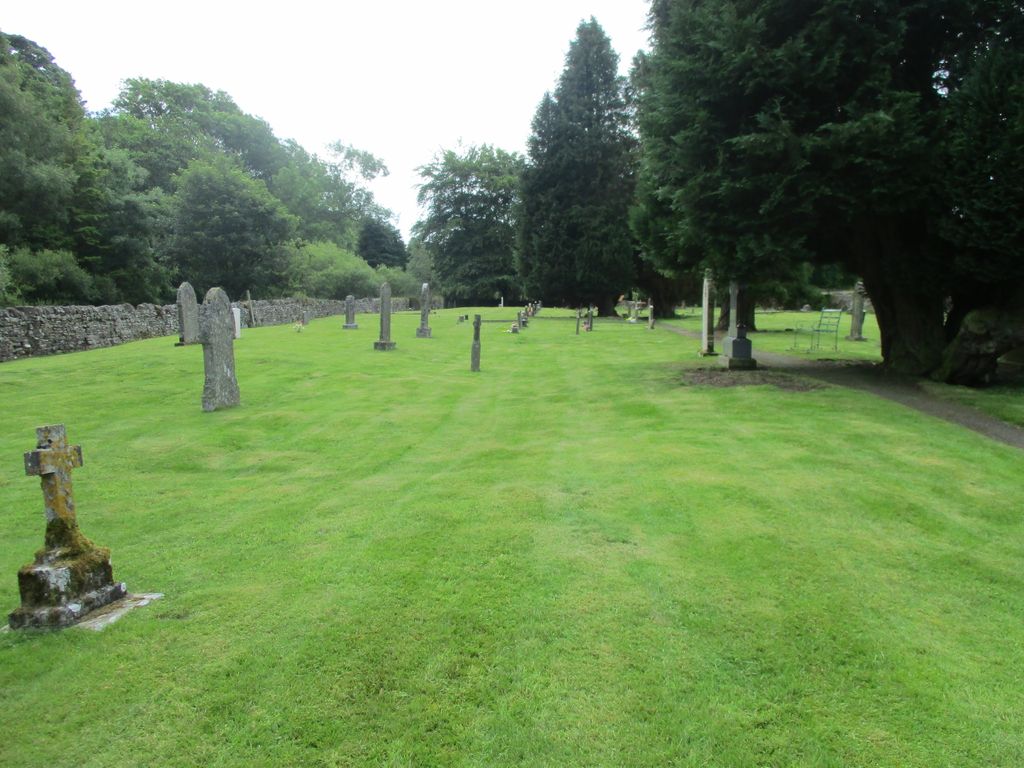
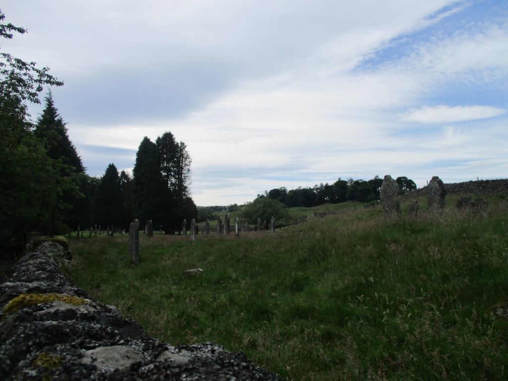
| Description | : | Allendale, often marked on maps as Allendale Town, is a village and civil parish in south west Northumberland, England. Allendale is within the North Pennines Area of Outstanding Natural Beauty(AONB) - the second largest of the 40 AONBs in England and Wales. Created as a chapelry in the parish of Allendale and no longer used for ecclesiastical purposes. Allendale, St Peter in the Forest (or Allenheads, St Peter), located about four miles south of Allendale Town in thehamlet of Sparty Lea, is now a private house. The present building, dated 1825, replaced an earlier structure of 1701. There is a large... Read More |
frequently asked questions (FAQ):
-
Where is St Peter in the Forest?
St Peter in the Forest is located at Allendale, Northumberland Unitary Authority ,Northumberland ,England.
-
St Peter in the Forest cemetery's updated grave count on graveviews.com?
17 memorials
-
Where are the coordinates of the St Peter in the Forest?
Latitude: 54.8313100
Longitude: -2.2350600
Nearby Cemetories:
1. Carrshield Anglican Churchyard
Allendale, Northumberland Unitary Authority, England
Coordinate: 54.8229010, -2.3083050
2. Limestone Brae, Wesleyan Methodist Chapel
Allendale, Northumberland Unitary Authority, England
Coordinate: 54.8425890, -2.3207386
3. Limestone Brae Burial Ground
Allendale, Northumberland Unitary Authority, England
Coordinate: 54.8441180, -2.3233520
4. Allendale Woodland Cemetery
Allendale, Northumberland Unitary Authority, England
Coordinate: 54.8932624, -2.2618136
5. Allendale Old Cemetery
Allendale, Northumberland Unitary Authority, England
Coordinate: 54.8941650, -2.2612690
6. Friends Meeting House
Allendale, Northumberland Unitary Authority, England
Coordinate: 54.8957750, -2.2598490
7. St. Cuthbert's Churchyard
Allendale, Northumberland Unitary Authority, England
Coordinate: 54.8978260, -2.2545020
8. Copt Hill Churchyard
Cowshill, Durham Unitary Authority, England
Coordinate: 54.7626700, -2.2320470
9. Saint Thomas Heatherycleugh
Cowshill, Durham Unitary Authority, England
Coordinate: 54.7601700, -2.2264200
10. Burtree Ford Cemetery
Cowshill, Durham Unitary Authority, England
Coordinate: 54.7587910, -2.2286680
11. St John's Churchyard
Nenthead, Eden District, England
Coordinate: 54.7903000, -2.3434180
12. High House Methodist Chapel Graveyard
Allendale, Northumberland Unitary Authority, England
Coordinate: 54.8844090, -2.3285218
13. Nenthead Cemetery
Nenthead, Eden District, England
Coordinate: 54.7947260, -2.3536210
14. Keenley Methodist Chapel Graveyard
Allendale, Northumberland Unitary Authority, England
Coordinate: 54.9053170, -2.3075580
15. St James Churchyard
Hunstanworth, Durham Unitary Authority, England
Coordinate: 54.8358650, -2.0807750
16. Old Churchyard
Eastgate, Durham Unitary Authority, England
Coordinate: 54.7751710, -2.0933400
17. Rookhope Cemetery
Eastgate, Durham Unitary Authority, England
Coordinate: 54.7744000, -2.0916800
18. Church of Saint Mary
Blanchland, Northumberland Unitary Authority, England
Coordinate: 54.8484000, -2.0541000
19. St John the Evangelist Churchyard
Garrigill, Eden District, England
Coordinate: 54.7677610, -2.3977800
20. Redwing Chapel Churchyard
Garrigill, Eden District, England
Coordinate: 54.7702390, -2.4071080
21. St Augustine Churchyard
Alston, Eden District, England
Coordinate: 54.8128980, -2.4397250
22. Alston Cemetery
Alston, Eden District, England
Coordinate: 54.8083540, -2.4416430
23. All Saints Churchyard
Eastgate, Durham Unitary Authority, England
Coordinate: 54.7445590, -2.0745270
24. Holy Paraclete Churchyard
Kirkhaugh, Northumberland Unitary Authority, England
Coordinate: 54.8385700, -2.4695550