
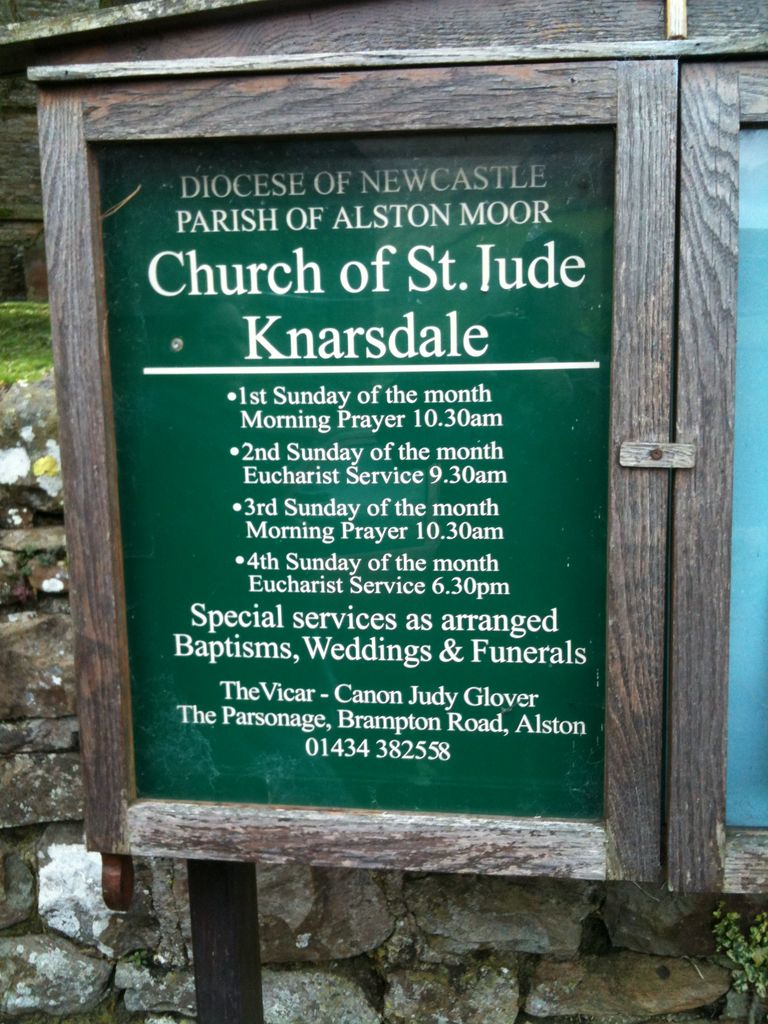
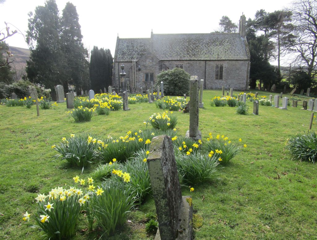
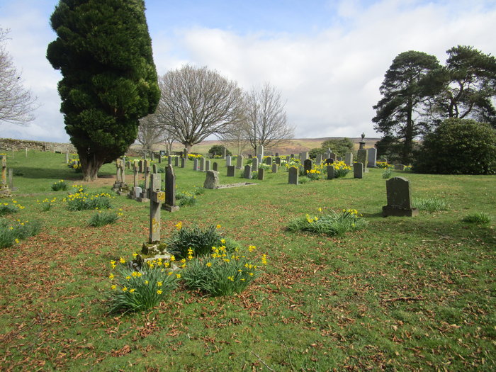
| Memorials | : | 0 |
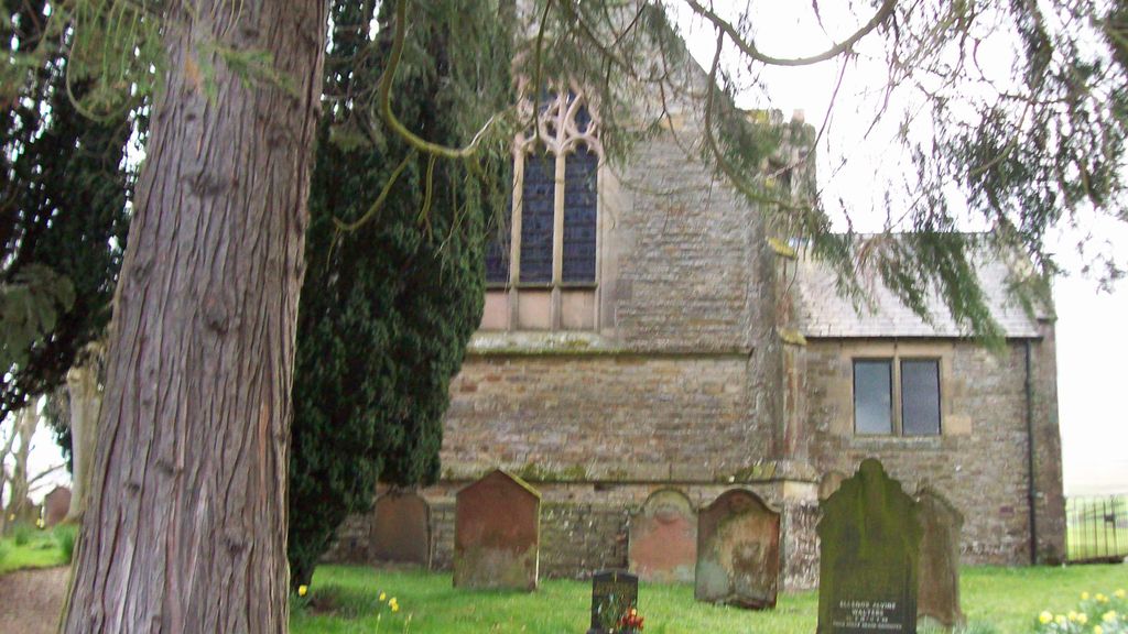
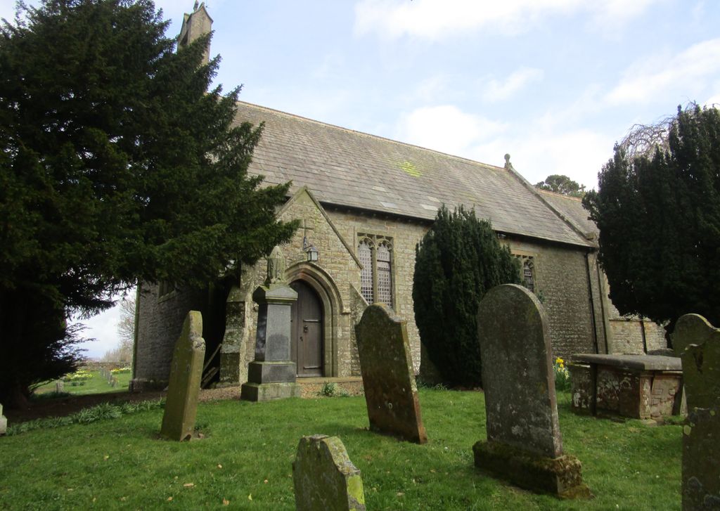
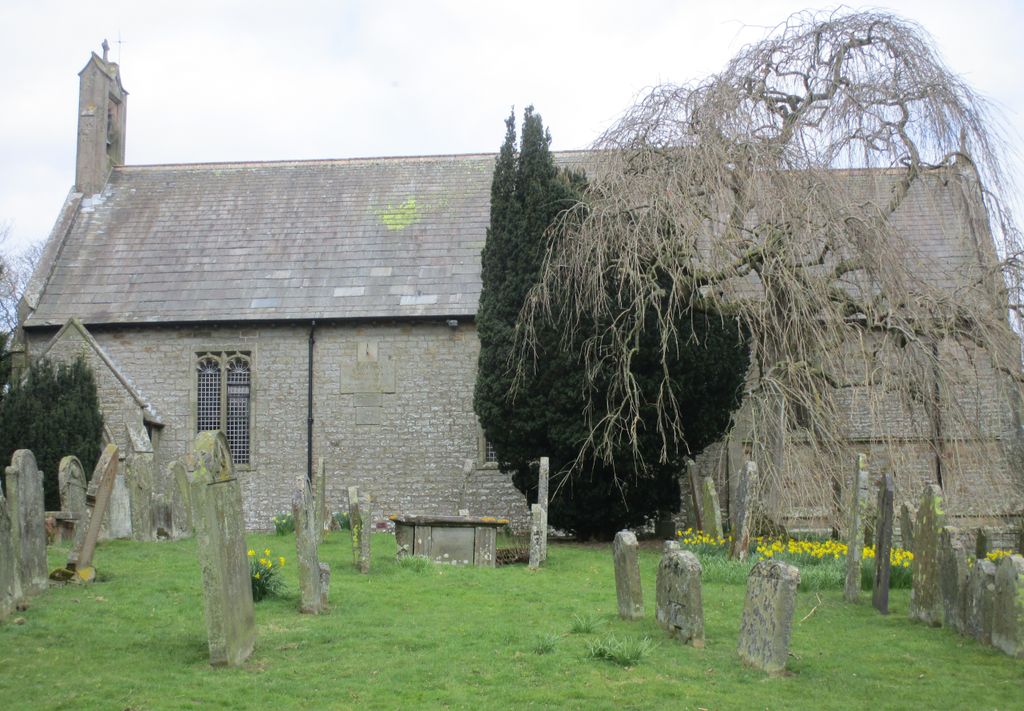
| Location | : | Knarsdale, Northumberland Unitary Authority, England |
| Coordinate | : | 54.8817960, -2.5024290 |
frequently asked questions (FAQ):
-
Where is St Jude's Churchyard?
St Jude's Churchyard is located at Knarsdale, Northumberland Unitary Authority ,Northumberland ,England.
-
St Jude's Churchyard cemetery's updated grave count on graveviews.com?
0 memorials
-
Where are the coordinates of the St Jude's Churchyard?
Latitude: 54.8817960
Longitude: -2.5024290
Nearby Cemetories:
1. St Mary & St Patrick Churchyard
Lambley, Northumberland Unitary Authority, England
Coordinate: 54.9209060, -2.5122140
2. Holy Paraclete Churchyard
Kirkhaugh, Northumberland Unitary Authority, England
Coordinate: 54.8385700, -2.4695550
3. Friends Meeting House Cemetery
Coanwood, Northumberland Unitary Authority, England
Coordinate: 54.9241920, -2.4540450
4. St Augustine Churchyard
Alston, Eden District, England
Coordinate: 54.8128980, -2.4397250
5. Alston Cemetery
Alston, Eden District, England
Coordinate: 54.8083540, -2.4416430
6. Haltwhistle Cemetery
Haltwhistle, Northumberland Unitary Authority, England
Coordinate: 54.9652600, -2.4740100
7. Holy Cross Churchyard
Haltwhistle, Northumberland Unitary Authority, England
Coordinate: 54.9699900, -2.4583480
8. High House Methodist Chapel Graveyard
Allendale, Northumberland Unitary Authority, England
Coordinate: 54.8844090, -2.3285218
9. St Cuthbert's Churchyard
Greenhead, Northumberland Unitary Authority, England
Coordinate: 54.9813930, -2.5324120
10. Limestone Brae Burial Ground
Allendale, Northumberland Unitary Authority, England
Coordinate: 54.8441180, -2.3233520
11. St Thomas a Becket
Farlam, City of Carlisle, England
Coordinate: 54.9319760, -2.6751970
12. Limestone Brae, Wesleyan Methodist Chapel
Allendale, Northumberland Unitary Authority, England
Coordinate: 54.8425890, -2.3207386
13. St. John the Baptist Churchyard
Croglin, Eden District, England
Coordinate: 54.8183850, -2.6636280
14. Keenley Methodist Chapel Graveyard
Allendale, Northumberland Unitary Authority, England
Coordinate: 54.9053170, -2.3075580
15. All Hallows Churchyard
Henshaw, Northumberland Unitary Authority, England
Coordinate: 54.9731030, -2.3704408
16. St Cuthbert's Churchyard
Nether Denton, City of Carlisle, England
Coordinate: 54.9743370, -2.6340210
17. All Saints Churchyard
Renwick, Eden District, England
Coordinate: 54.7859060, -2.6282720
18. St Peter Churchyard
Castle Carrock, City of Carlisle, England
Coordinate: 54.8913590, -2.7133890
19. Nenthead Cemetery
Nenthead, Eden District, England
Coordinate: 54.7947260, -2.3536210
20. St Mary Magdalene Churchyard
Gilsland, Northumberland Unitary Authority, England
Coordinate: 54.9989150, -2.5743860
21. Redwing Chapel Churchyard
Garrigill, Eden District, England
Coordinate: 54.7702390, -2.4071080
22. Carrshield Anglican Churchyard
Allendale, Northumberland Unitary Authority, England
Coordinate: 54.8229010, -2.3083050
23. Cowburn Primitive Methodist Chapel
Cowburn, Northumberland Unitary Authority, England
Coordinate: 55.0034880, -2.4323380
24. St John the Evangelist Churchyard
Garrigill, Eden District, England
Coordinate: 54.7677610, -2.3977800