
| Memorials | : | 23 |
| Location | : | Mildenhall, Forest Heath District, England |
| Coordinate | : | 52.3441770, 0.5148110 |
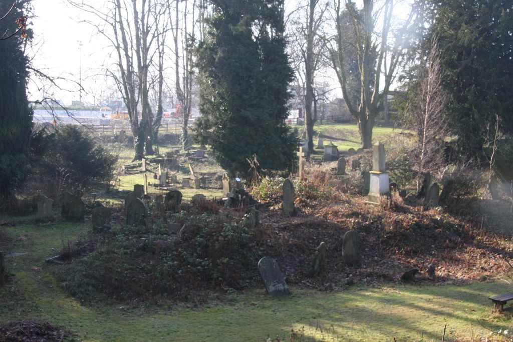
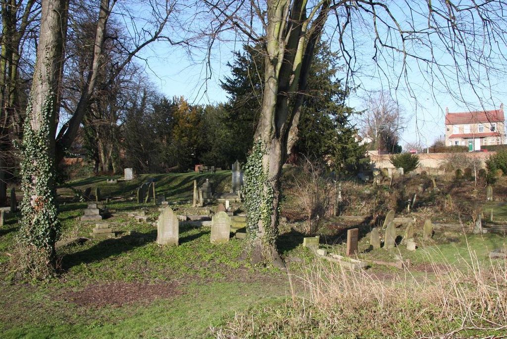
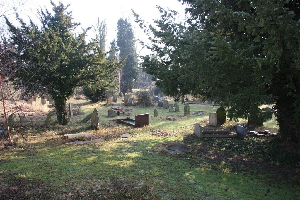
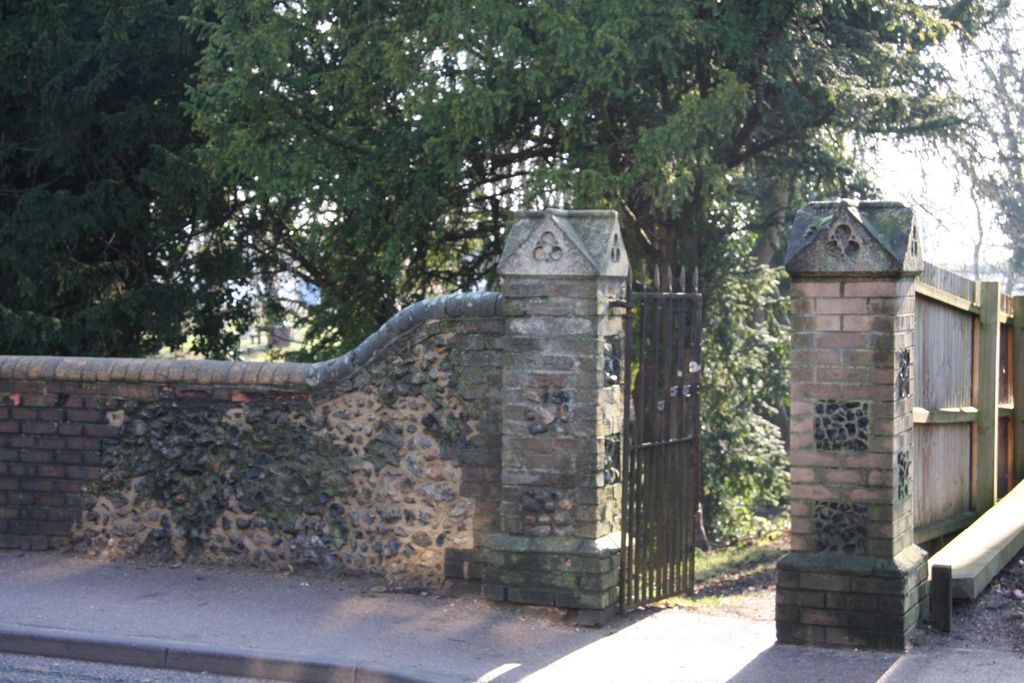
| Description | : | The cemetery in Kingsway (formerly known as Kiln Street and later as Cemetery Road ) was opened in 1856 and burials in the churchyard of the Parish Church of St Mary (then known as St Andrew) then ceased. All Church of England burials for the whole of the large parish of Mildenhall were conducted here Until the daughter churches in the hamlets or "rows" of the parish were established - St Peter's at West Row in 1874 and St John's at Beck Row in 1875. The Baptist and Methodist chapels in the High Town of Mildenhall have never had graveyards... Read More |
frequently asked questions (FAQ):
-
Where is Kingsway Old Cemetery?
Kingsway Old Cemetery is located at Kingsway Mildenhall, Forest Heath District ,Suffolk , IP28 7HNEngland.
-
Kingsway Old Cemetery cemetery's updated grave count on graveviews.com?
23 memorials
-
Where are the coordinates of the Kingsway Old Cemetery?
Latitude: 52.3441770
Longitude: 0.5148110
Nearby Cemetories:
1. Mildenhall War Memorial
Mildenhall, Forest Heath District, England
Coordinate: 52.3441200, 0.5115400
2. St Mary's Churchyard
Mildenhall, Forest Heath District, England
Coordinate: 52.3427600, 0.5091020
3. Mildenhall cemetery
Mildenhall, Forest Heath District, England
Coordinate: 52.3450530, 0.5276780
4. St Mary the Virgin Churchyard
Barton Mills, Forest Heath District, England
Coordinate: 52.3353300, 0.5188900
5. Raunds Wesleyan Methodist Chapel Yard
Raunds, East Northamptonshire Borough, England
Coordinate: 52.3432300, 0.5371100
6. All Saints Churchyard
Worlington, Forest Heath District, England
Coordinate: 52.3367540, 0.4810040
7. Methodist Chapel
Holywell Row, Forest Heath District, England
Coordinate: 52.3661040, 0.5067880
8. St. John's Churchyard
Beck Row, Forest Heath District, England
Coordinate: 52.3663830, 0.4947150
9. St. Laurence and St. Peter Churchyard
Eriswell, Forest Heath District, England
Coordinate: 52.3733400, 0.5306300
10. Beck Row Methodist Churchyard
Beck Row, Forest Heath District, England
Coordinate: 52.3701225, 0.4866503
11. St Peters Churchyard
West Row, Forest Heath District, England
Coordinate: 52.3513890, 0.4574270
12. West Row Baptist Chapelyard
West Row, Forest Heath District, England
Coordinate: 52.3554700, 0.4569760
13. St. Mary's Churchyard
Tuddenham, Forest Heath District, England
Coordinate: 52.3126400, 0.5481500
14. St Ethelbert's Church
Herringswell, Forest Heath District, England
Coordinate: 52.3008595, 0.5182833
15. St. Andrew's Churchyard
Freckenham, Forest Heath District, England
Coordinate: 52.3187500, 0.4427300
16. St James Churchyard
Icklingham, Forest Heath District, England
Coordinate: 52.3269540, 0.5966680
17. All Saints Churchyard
Icklingham, Forest Heath District, England
Coordinate: 52.3227766, 0.6041408
18. St. Nicholas Churchyard
Kennett, East Cambridgeshire District, England
Coordinate: 52.2870190, 0.4904830
19. Isleham Cemetery
Isleham, East Cambridgeshire District, England
Coordinate: 52.3425900, 0.4141400
20. St Andrew Churchyard
Isleham, East Cambridgeshire District, England
Coordinate: 52.3430930, 0.4114930
21. St Margaret Churchyard
Chippenham, East Cambridgeshire District, England
Coordinate: 52.3010950, 0.4381590
22. St. Andrew Churchyard
Cavenham, Forest Heath District, England
Coordinate: 52.2969400, 0.5849100
23. Elveden War Memorial
Elveden, Forest Heath District, England
Coordinate: 52.3674830, 0.6248150
24. St. Mary Churchyard
Kentford, Forest Heath District, England
Coordinate: 52.2726600, 0.4997800