
| Memorials | : | 0 |
| Location | : | Kennett, East Cambridgeshire District, England |
| Coordinate | : | 52.2870190, 0.4904830 |
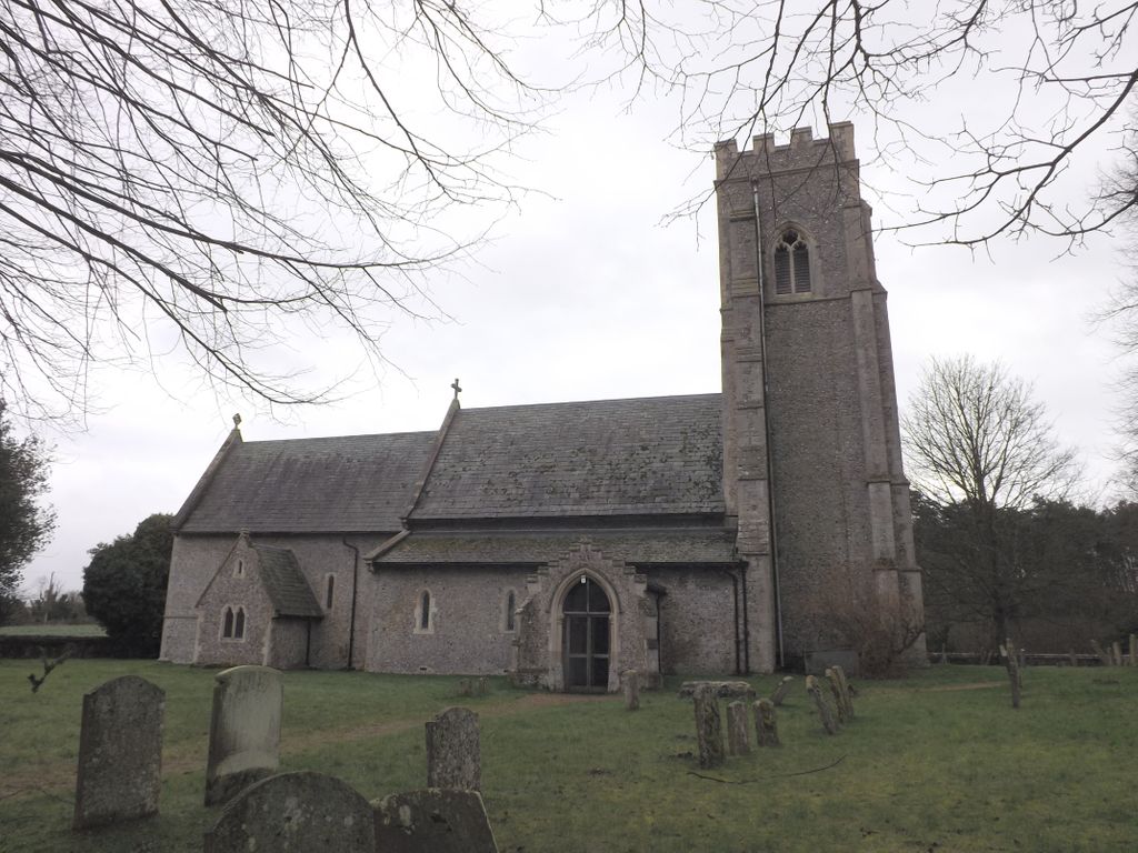
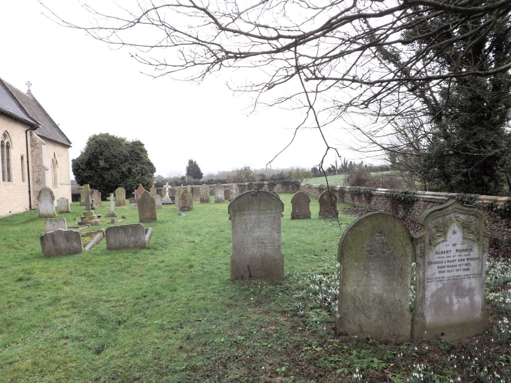
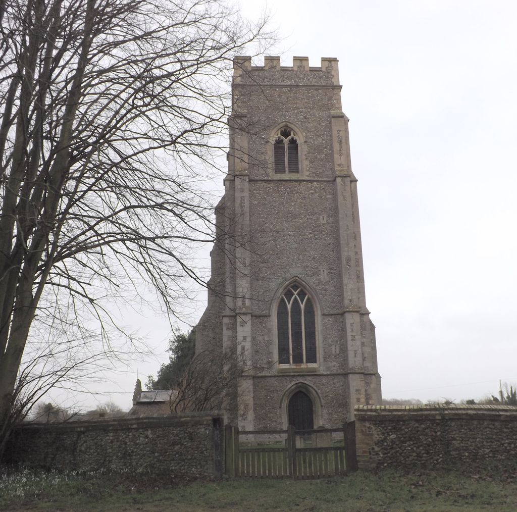
| Description | : | Kennett is a small village and civil parish at the easternmost point of the spur of Cambridgeshire that stretches into Suffolk. Situated around 2.5 miles north-east of Newmarket and 4 miles north-west of Bury St Edmunds, it falls into the district of East Cambridgeshire. Listed as Chenet in the Domesday Book of 1086, the village is named after the river Kennett, a tributary of the River Lark. The origin of the river's name is unclear, but it is of Celtic origin perhaps partially derived from cwm meaning "summit". The parish church has been dedicated to St Nicholas since the 13th century |
frequently asked questions (FAQ):
-
Where is St. Nicholas Churchyard?
St. Nicholas Churchyard is located at Kennett, East Cambridgeshire District ,Cambridgeshire ,England.
-
St. Nicholas Churchyard cemetery's updated grave count on graveviews.com?
0 memorials
-
Where are the coordinates of the St. Nicholas Churchyard?
Latitude: 52.2870190
Longitude: 0.4904830
Nearby Cemetories:
1. St. Mary Churchyard
Kentford, Forest Heath District, England
Coordinate: 52.2726600, 0.4997800
2. St Ethelbert's Church
Herringswell, Forest Heath District, England
Coordinate: 52.3008595, 0.5182833
3. St Margaret Churchyard
Chippenham, East Cambridgeshire District, England
Coordinate: 52.3010950, 0.4381590
4. St. Peter's Churchyard
Moulton, Forest Heath District, England
Coordinate: 52.2492360, 0.4879740
5. All Saints Churchyard
Gazeley, Forest Heath District, England
Coordinate: 52.2479000, 0.5182000
6. St. Andrew's Churchyard
Freckenham, Forest Heath District, England
Coordinate: 52.3187500, 0.4427300
7. St. Mary's Churchyard
Tuddenham, Forest Heath District, England
Coordinate: 52.3126400, 0.5481500
8. St. Stephen Churchyard
Higham, Forest Heath District, England
Coordinate: 52.2606300, 0.5575500
9. All Saints Churchyard
Worlington, Forest Heath District, England
Coordinate: 52.3367540, 0.4810040
10. St Mary the Virgin Churchyard
Barton Mills, Forest Heath District, England
Coordinate: 52.3353300, 0.5188900
11. St. Peter Churchyard
Snailwell, East Cambridgeshire District, England
Coordinate: 52.2815100, 0.4059500
12. Saint Mary Churchyard
Dalham, Forest Heath District, England
Coordinate: 52.2341640, 0.5236290
13. Dalham Cemetery
Dalham, Forest Heath District, England
Coordinate: 52.2340230, 0.5242530
14. St Mary's Churchyard
Mildenhall, Forest Heath District, England
Coordinate: 52.3427600, 0.5091020
15. Mildenhall War Memorial
Mildenhall, Forest Heath District, England
Coordinate: 52.3441200, 0.5115400
16. St. Andrew Churchyard
Cavenham, Forest Heath District, England
Coordinate: 52.2969400, 0.5849100
17. Kingsway Old Cemetery
Mildenhall, Forest Heath District, England
Coordinate: 52.3441770, 0.5148110
18. St Mary Churchyard
Ashley, East Cambridgeshire District, England
Coordinate: 52.2270430, 0.4876430
19. Beech House Stud
Newmarket, Forest Heath District, England
Coordinate: 52.2318930, 0.4475510
20. Mildenhall cemetery
Mildenhall, Forest Heath District, England
Coordinate: 52.3450530, 0.5276780
21. Ss Peter & Mary Magdalene Churchyard Extension
Fordham, East Cambridgeshire District, England
Coordinate: 52.3110500, 0.3961500
22. Ss Peter & Mary Magdalene Churchyard
Fordham, East Cambridgeshire District, England
Coordinate: 52.3101300, 0.3947400
23. Raunds Wesleyan Methodist Chapel Yard
Raunds, East Northamptonshire Borough, England
Coordinate: 52.3432300, 0.5371100
24. Ss Peter & Mary Magdalene New Extension Cemetery
Fordham, East Cambridgeshire District, England
Coordinate: 52.3105300, 0.3940000