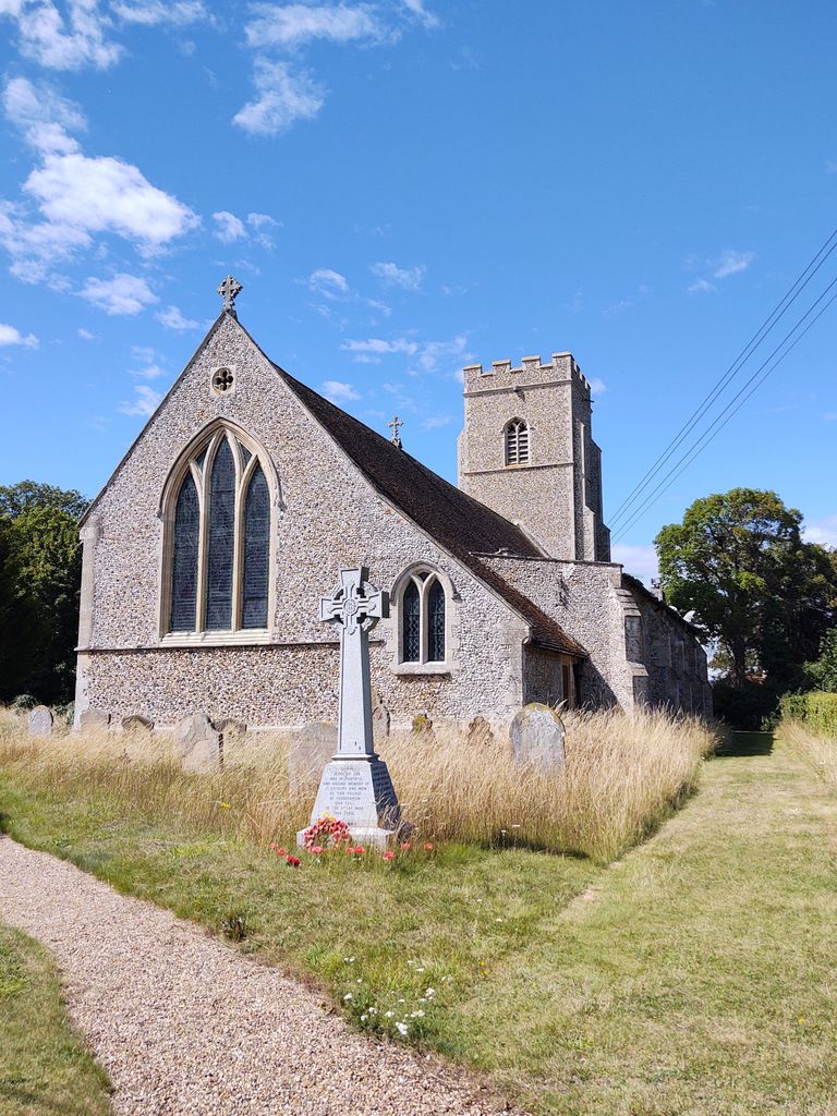
| Memorials | : | 0 |
| Location | : | Freckenham, Forest Heath District, England |
| Coordinate | : | 52.3187500, 0.4427300 |
frequently asked questions (FAQ):
-
Where is St. Andrew's Churchyard?
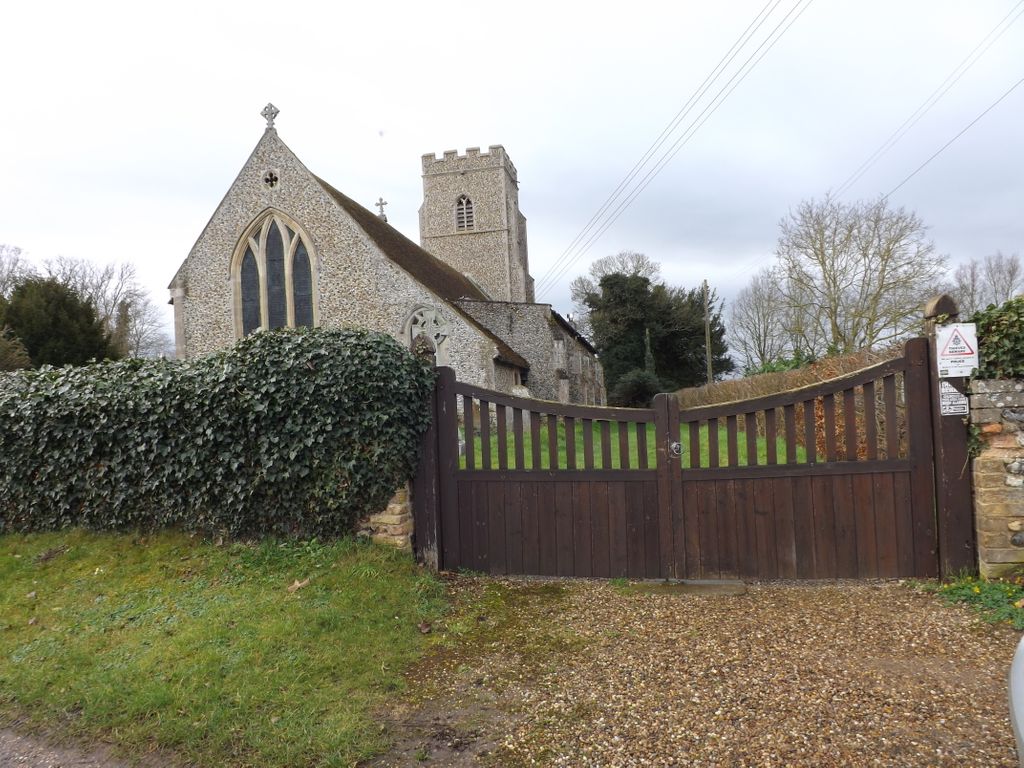
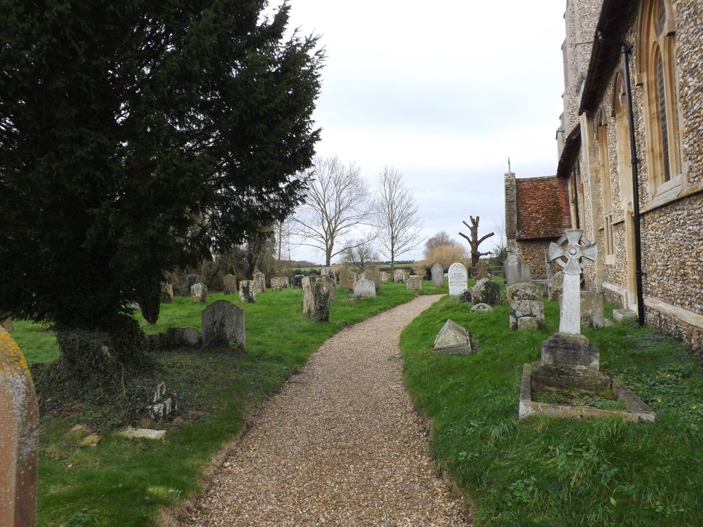
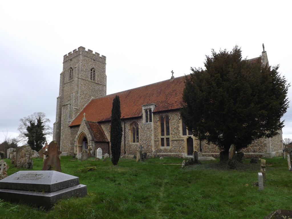
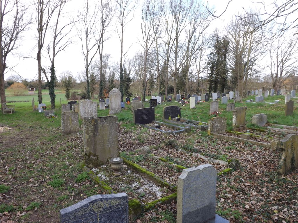
St. Andrew's Churchyard is located at Church Lane Freckenham, Forest Heath District ,Suffolk , IP28 8JFEngland.
-
St. Andrew's Churchyard cemetery's updated grave count on graveviews.com?
0 memorials
-
Where are the coordinates of the St. Andrew's Churchyard?
Latitude: 52.3187500
Longitude: 0.4427300
Nearby Cemetories:
1. St Margaret Churchyard
Chippenham, East Cambridgeshire District, England
Coordinate: 52.3010950, 0.4381590
2. Ss Peter & Mary Magdalene Churchyard Extension
Fordham, East Cambridgeshire District, England
Coordinate: 52.3110500, 0.3961500
3. All Saints Churchyard
Worlington, Forest Heath District, England
Coordinate: 52.3367540, 0.4810040
4. Isleham Cemetery
Isleham, East Cambridgeshire District, England
Coordinate: 52.3425900, 0.4141400
5. Ss Peter & Mary Magdalene Churchyard
Fordham, East Cambridgeshire District, England
Coordinate: 52.3101300, 0.3947400
6. Ss Peter & Mary Magdalene New Extension Cemetery
Fordham, East Cambridgeshire District, England
Coordinate: 52.3105300, 0.3940000
7. St Andrew Churchyard
Isleham, East Cambridgeshire District, England
Coordinate: 52.3430930, 0.4114930
8. St Peters Churchyard
West Row, Forest Heath District, England
Coordinate: 52.3513890, 0.4574270
9. West Row Baptist Chapelyard
West Row, Forest Heath District, England
Coordinate: 52.3554700, 0.4569760
10. St. Nicholas Churchyard
Kennett, East Cambridgeshire District, England
Coordinate: 52.2870190, 0.4904830
11. St. Peter Churchyard
Snailwell, East Cambridgeshire District, England
Coordinate: 52.2815100, 0.4059500
12. St Mary's Churchyard
Mildenhall, Forest Heath District, England
Coordinate: 52.3427600, 0.5091020
13. Mildenhall War Memorial
Mildenhall, Forest Heath District, England
Coordinate: 52.3441200, 0.5115400
14. St Mary the Virgin Churchyard
Barton Mills, Forest Heath District, England
Coordinate: 52.3353300, 0.5188900
15. St Ethelbert's Church
Herringswell, Forest Heath District, England
Coordinate: 52.3008595, 0.5182833
16. St Nicholas Churchyard
Landwade, Forest Heath District, England
Coordinate: 52.2870860, 0.3784460
17. Kingsway Old Cemetery
Mildenhall, Forest Heath District, England
Coordinate: 52.3441770, 0.5148110
18. St. John's Churchyard
Beck Row, Forest Heath District, England
Coordinate: 52.3663830, 0.4947150
19. St. Mary Churchyard
Kentford, Forest Heath District, England
Coordinate: 52.2726600, 0.4997800
20. Beck Row Methodist Churchyard
Beck Row, Forest Heath District, England
Coordinate: 52.3701225, 0.4866503
21. Mildenhall cemetery
Mildenhall, Forest Heath District, England
Coordinate: 52.3450530, 0.5276780
22. Soham Cemetery
Soham, East Cambridgeshire District, England
Coordinate: 52.3266440, 0.3464510
23. Methodist Chapel
Holywell Row, Forest Heath District, England
Coordinate: 52.3661040, 0.5067880
24. Raunds Wesleyan Methodist Chapel Yard
Raunds, East Northamptonshire Borough, England
Coordinate: 52.3432300, 0.5371100

