| Memorials | : | 0 |
| Location | : | Kingswood, South Gloucestershire Unitary Authority, England |
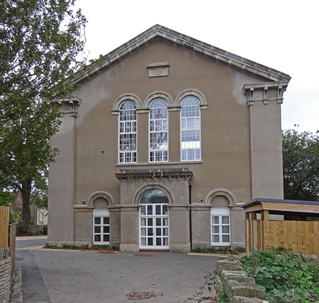
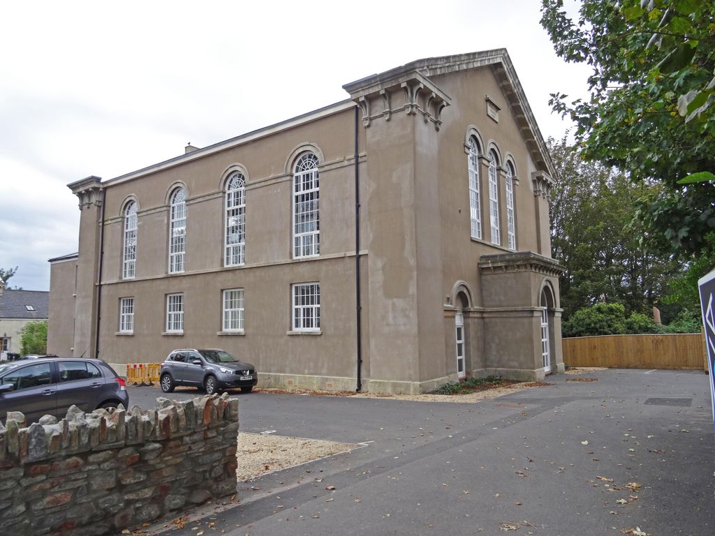
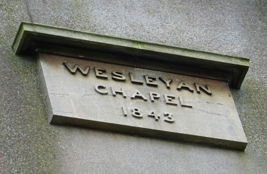
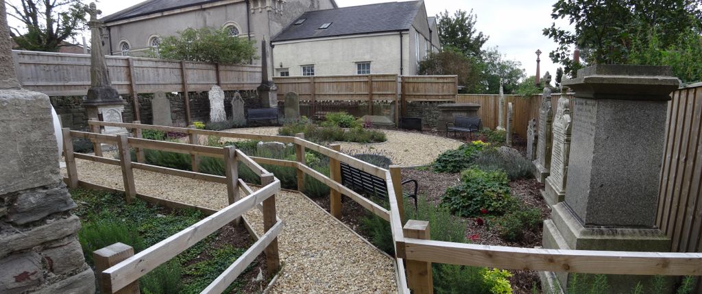
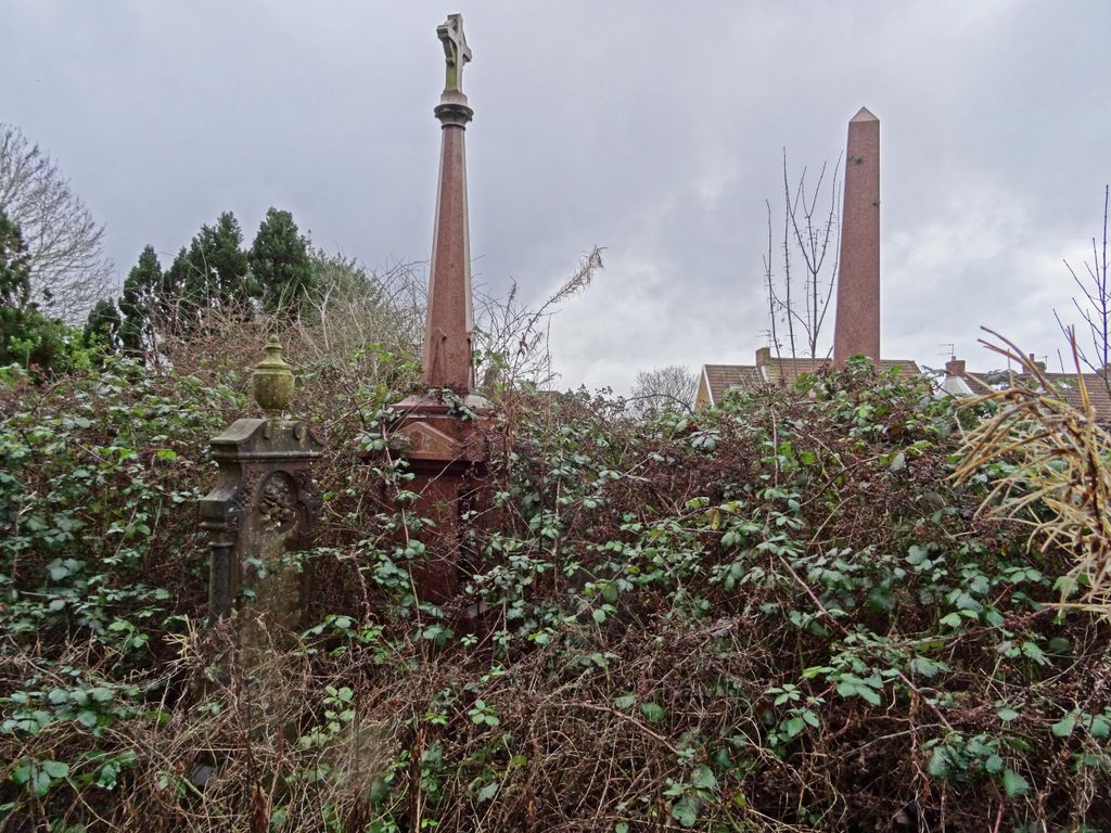
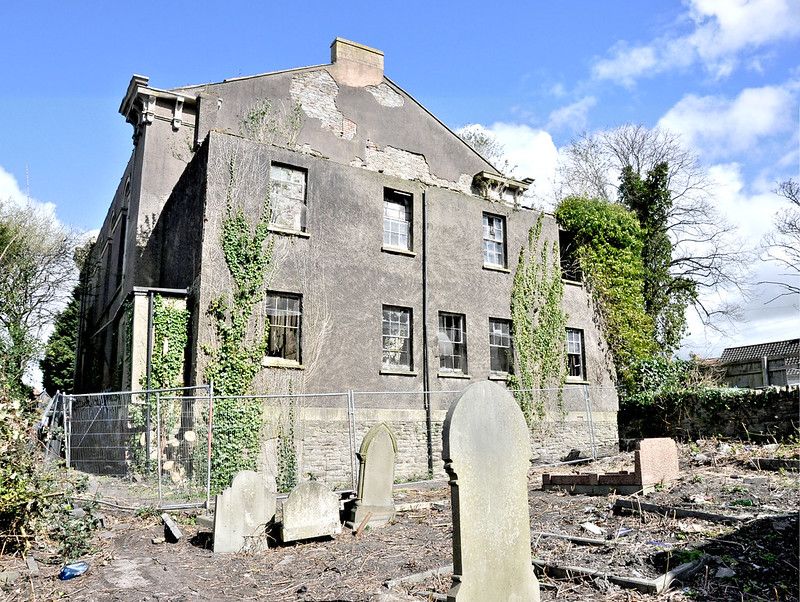
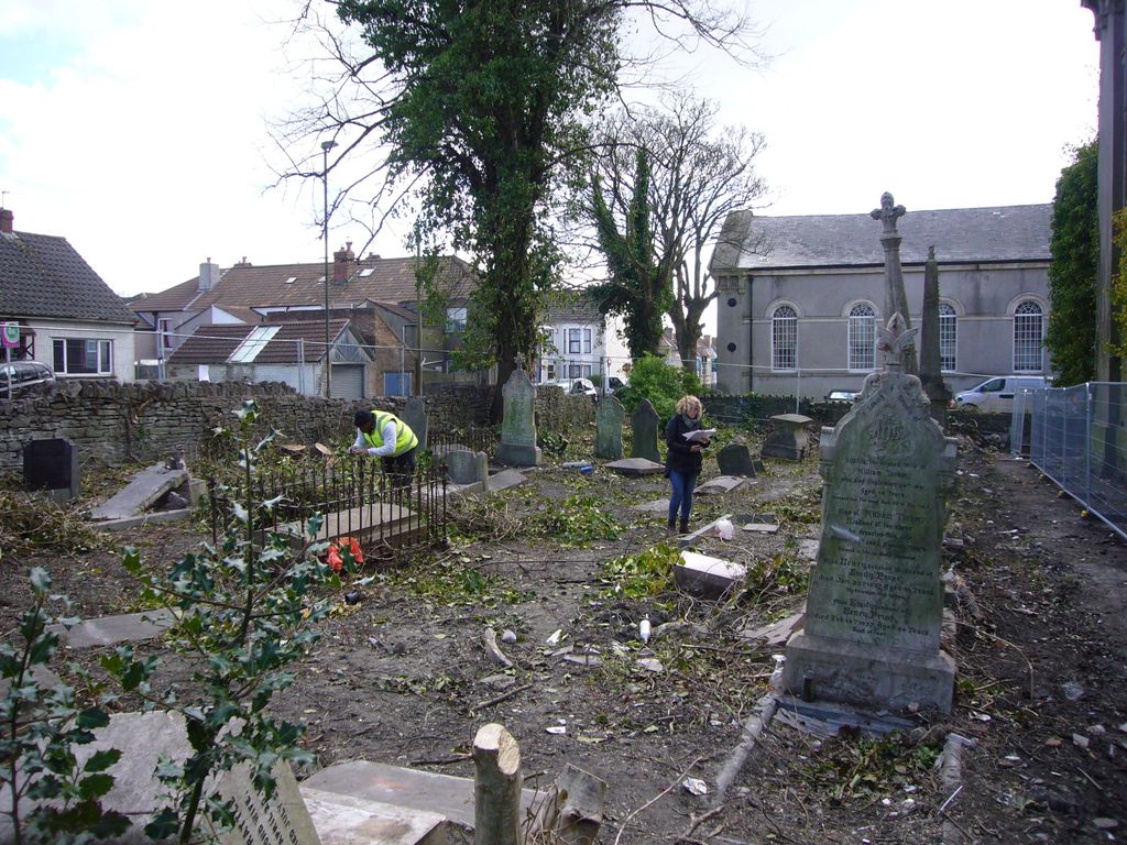
| Description | : | Kingswood Wesleyan Chapel was established in 1843 by the congregation which had formerly met in Wesley's Kingswood School as a direct response to plans to relocate the school to Bath (which finally happened in 1851). The foundation and building of the new chapel were largely driven by local businessmen Samuel Budget and Daniel Flook: the chapel was built in the northeast corner of a large plot between Blackhorse and Waters Roads and had seats for nine hundred, access was originally via a long drive emerging between Nos 368 (now a kebab shop) and 370 Two Mile Hill Road (a solicitors),... Read More |
frequently asked questions (FAQ):
-
Where is Kingwood Wesleyan Chapel?
Kingwood Wesleyan Chapel is located at Kingswood, South Gloucestershire Unitary Authority, England.
-
Kingwood Wesleyan Chapel cemetery's updated grave count on graveviews.com?
0 memorials
Nearby Cemetories:
1. Bristol Memorial Woodlands
Alveston, South Gloucestershire Unitary Authority, England
2. St Helen Churchyard
Alveston, South Gloucestershire Unitary Authority, England
3. St Saviour's Church
Coalpit Heath, South Gloucestershire Unitary Authority, England
Coordinate: 51.5400900, -2.2818500
4. St Peter's Churchyard
Dyrham, South Gloucestershire Unitary Authority, England
Coordinate: 51.5442200, -2.2800310
5. St Mary Churchyard
Hawkesbury, South Gloucestershire Unitary Authority, England
Coordinate: 51.6121930, -2.4456930
6. Holy Trinity Churchyard
Kingswood, South Gloucestershire Unitary Authority, England
7. Kingswood Methodist Church Burial Ground
Kingswood, South Gloucestershire Unitary Authority, England
Coordinate: 51.4484992, -2.5222650
8. Master's Church Cemetery
Kingswood, South Gloucestershire Unitary Authority, England
Coordinate: 51.4474802, -2.5107480
9. Moravian Chapel
Kingswood, South Gloucestershire Unitary Authority, England
Coordinate: 51.4509706, -2.5189809
10. Wesleyan Methodist Church
Kingswood, South Gloucestershire Unitary Authority, England
11. St Anne's Churchyard
Siston, South Gloucestershire Unitary Authority, England
12. St James Parish Churchyard
Tytherington, South Gloucestershire Unitary Authority, England
Coordinate: 51.5742000, -2.4536000
13. St. Bartholomew Churchyard
Wick, South Gloucestershire Unitary Authority, England
14. Essex House Grounds, Badminton Estate
Badminton, South Gloucestershire Unitary Authority, England
15. Saint Michael's
Badminton, South Gloucestershire Unitary Authority, England
Coordinate: 51.5400900, -2.2818500
16. St Michael and All Angels Churchyard
Badminton, South Gloucestershire Unitary Authority, England
Coordinate: 51.5442200, -2.2800310
17. St Andrew Churchyard
Cromhall, South Gloucestershire Unitary Authority, England
Coordinate: 51.6121930, -2.4456930
18. Elberton St. John the Evangalist
Elberton, South Gloucestershire Unitary Authority, England
19. Christ Church Churchyard
Hanham, South Gloucestershire Unitary Authority, England
Coordinate: 51.4484992, -2.5222650
20. Hanham Baptist Church Cemetery
Hanham, South Gloucestershire Unitary Authority, England
Coordinate: 51.4474802, -2.5107480
21. Hanham United Reform Church Cemetery
Hanham, South Gloucestershire Unitary Authority, England
Coordinate: 51.4509706, -2.5189809
22. Church of St. Mary of Malmesbury
Littleton-upon-Severn, South Gloucestershire Unitary Authority, England
23. St. Arilda's Churchyard
Oldbury-on-Severn, South Gloucestershire Unitary Authority, England
24. Church of the Holy Trinity
Rangeworthy, South Gloucestershire Unitary Authority, England
Coordinate: 51.5742000, -2.4536000

