
| Memorials | : | 0 |
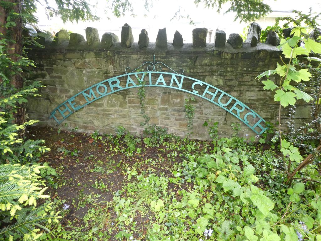
| Location | : | Kingswood, South Gloucestershire Unitary Authority, England |
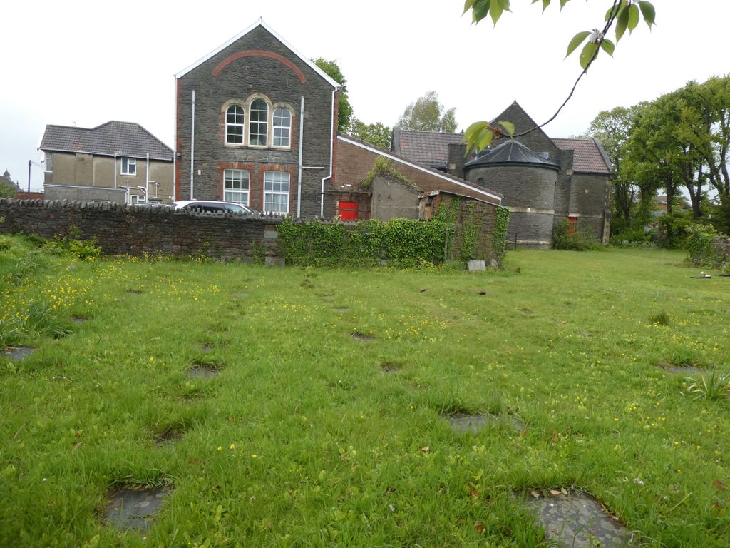
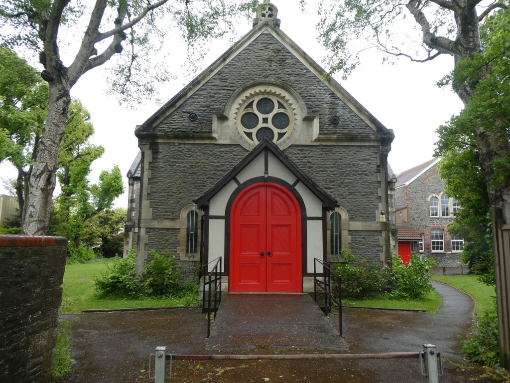
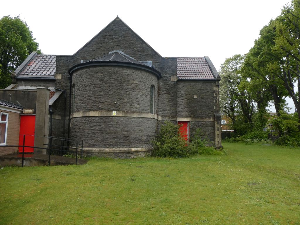
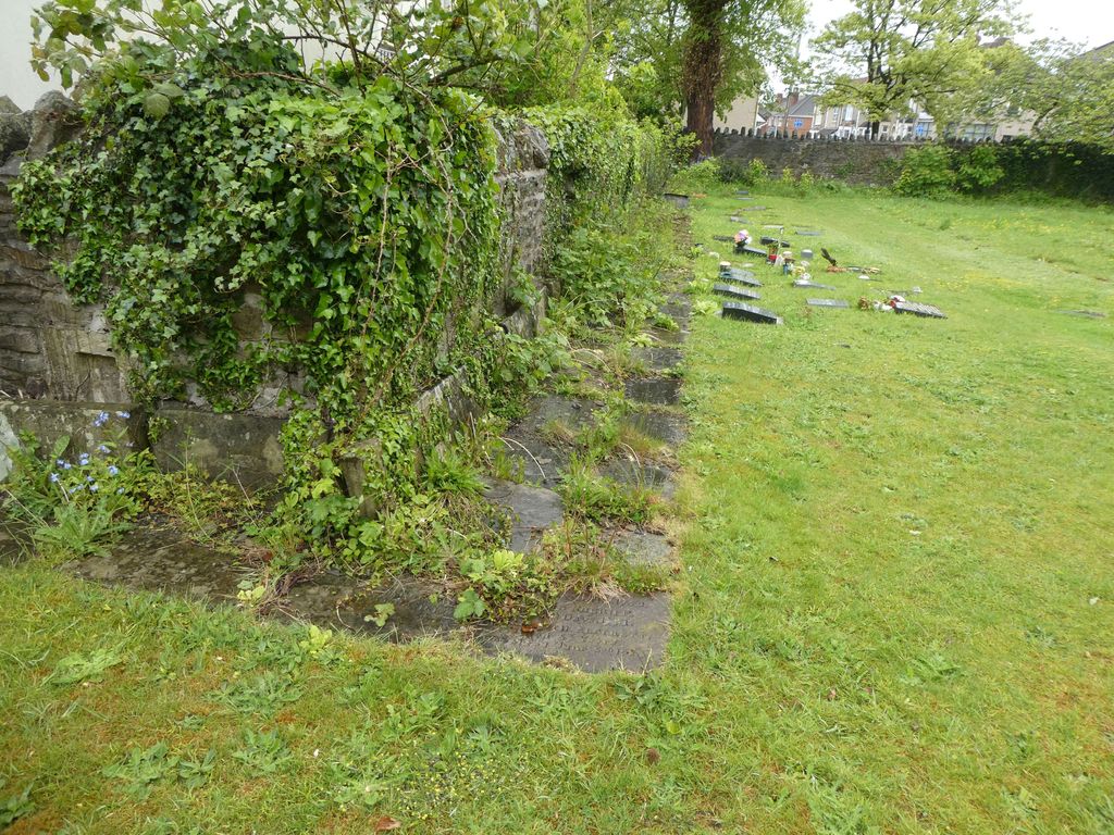
| Description | : | John Kennick, a disciple of John Wesley, was master of Wesley's Colliers' School Chapel in Kingswood in 1739. In 1741, with the support of George Whitefield, founded the Kingswood Tabernacle, a separate society based on Calvinistic principles. In about 1748, he and his followers were "dispossessed of the Tabernacle". They removed to temporary premises, then built a new chapel in 1756-7. The present chapel was built in 1856-7. Adjacent buildings may include the original chapel. The congregation was joined in the 1992 by that of Kingswood's Whitefield Tabernacle ( the other side of Regent Street), thus becoming... Read More |
frequently asked questions (FAQ):
-
Where is Moravian Chapel?
Moravian Chapel is located at Kingswood, South Gloucestershire Unitary Authority, England.
-
Moravian Chapel cemetery's updated grave count on graveviews.com?
0 memorials
Nearby Cemetories:
1. Bristol Memorial Woodlands
Alveston, South Gloucestershire Unitary Authority, England
2. St Helen Churchyard
Alveston, South Gloucestershire Unitary Authority, England
3. St Saviour's Church
Coalpit Heath, South Gloucestershire Unitary Authority, England
Coordinate: 51.5400900, -2.2818500
4. St Peter's Churchyard
Dyrham, South Gloucestershire Unitary Authority, England
Coordinate: 51.5442200, -2.2800310
5. St Mary Churchyard
Hawkesbury, South Gloucestershire Unitary Authority, England
Coordinate: 51.6121930, -2.4456930
6. Holy Trinity Churchyard
Kingswood, South Gloucestershire Unitary Authority, England
7. Kingswood Methodist Church Burial Ground
Kingswood, South Gloucestershire Unitary Authority, England
Coordinate: 51.4484992, -2.5222650
8. Kingwood Wesleyan Chapel
Kingswood, South Gloucestershire Unitary Authority, England
Coordinate: 51.4474802, -2.5107480
9. Master's Church Cemetery
Kingswood, South Gloucestershire Unitary Authority, England
Coordinate: 51.4509706, -2.5189809
10. Wesleyan Methodist Church
Kingswood, South Gloucestershire Unitary Authority, England
11. St Anne's Churchyard
Siston, South Gloucestershire Unitary Authority, England
12. St James Parish Churchyard
Tytherington, South Gloucestershire Unitary Authority, England
Coordinate: 51.5742000, -2.4536000
13. St. Bartholomew Churchyard
Wick, South Gloucestershire Unitary Authority, England
14. Essex House Grounds, Badminton Estate
Badminton, South Gloucestershire Unitary Authority, England
15. Saint Michael's
Badminton, South Gloucestershire Unitary Authority, England
Coordinate: 51.5400900, -2.2818500
16. St Michael and All Angels Churchyard
Badminton, South Gloucestershire Unitary Authority, England
Coordinate: 51.5442200, -2.2800310
17. St Andrew Churchyard
Cromhall, South Gloucestershire Unitary Authority, England
Coordinate: 51.6121930, -2.4456930
18. Elberton St. John the Evangalist
Elberton, South Gloucestershire Unitary Authority, England
19. Christ Church Churchyard
Hanham, South Gloucestershire Unitary Authority, England
Coordinate: 51.4484992, -2.5222650
20. Hanham Baptist Church Cemetery
Hanham, South Gloucestershire Unitary Authority, England
Coordinate: 51.4474802, -2.5107480
21. Hanham United Reform Church Cemetery
Hanham, South Gloucestershire Unitary Authority, England
Coordinate: 51.4509706, -2.5189809
22. Church of St. Mary of Malmesbury
Littleton-upon-Severn, South Gloucestershire Unitary Authority, England
23. St. Arilda's Churchyard
Oldbury-on-Severn, South Gloucestershire Unitary Authority, England
24. Church of the Holy Trinity
Rangeworthy, South Gloucestershire Unitary Authority, England
Coordinate: 51.5742000, -2.4536000