
| Memorials | : | 1 |
| Location | : | Dyrham, South Gloucestershire Unitary Authority, England |
| Coordinate | : | 51.4804500, -2.3735900 |
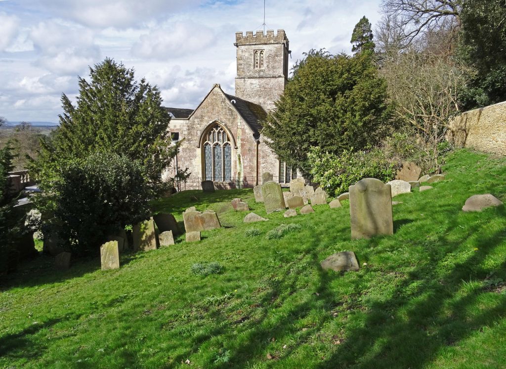
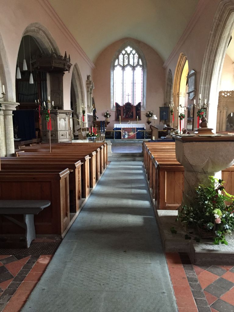
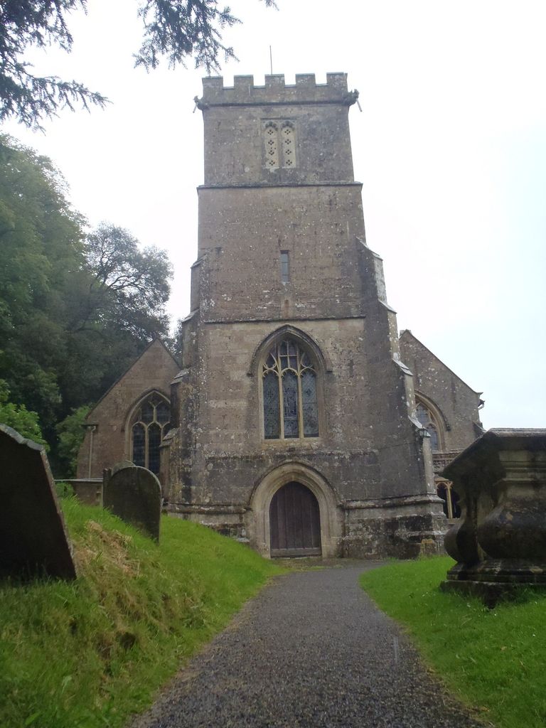
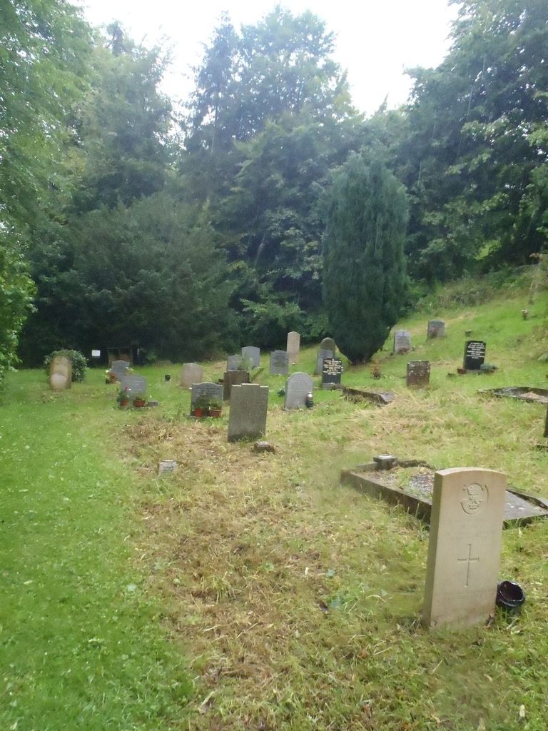
| Description | : | There are two WWII war graves here. |
frequently asked questions (FAQ):
-
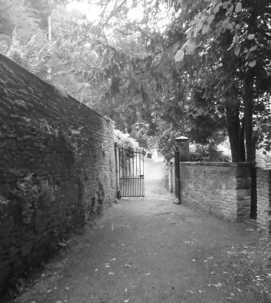
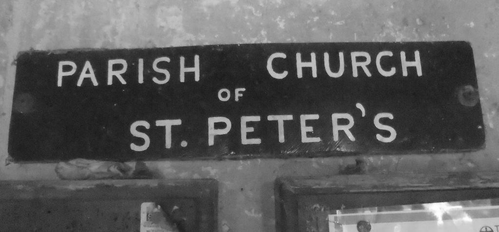
Where is St Peter's Churchyard?
St Peter's Churchyard is located at Dyrham, South Gloucestershire Unitary Authority ,Gloucestershire , SN14 8HNEngland.
-
St Peter's Churchyard cemetery's updated grave count on graveviews.com?
1 memorials
-
Where are the coordinates of the St Peter's Churchyard?
Latitude: 51.4804500
Longitude: -2.3735900
Nearby Cemetories:
1. St James Churchyard
West Littleton, South Gloucestershire Unitary Authority, England
Coordinate: 51.4780400, -2.3458000
2. Holy Trinity Churchyard
Cold Ashton, South Gloucestershire Unitary Authority, England
Coordinate: 51.4530440, -2.3597430
3. St James The Great Churchyard Cemetery
Abson, South Gloucestershire Unitary Authority, England
Coordinate: 51.4716858, -2.4257848
4. St Mary Magdelene Churchyard
Tormarton, South Gloucestershire Unitary Authority, England
Coordinate: 51.5082250, -2.3334930
5. St Mary's Churchyard ( Private )
Dodington, South Gloucestershire Unitary Authority, England
Coordinate: 51.5172820, -2.3588590
6. St Mary the Virgin Churchyard
Marshfield, South Gloucestershire Unitary Authority, England
Coordinate: 51.4616500, -2.3149230
7. Westerleigh Crematorium
Westerleigh, South Gloucestershire Unitary Authority, England
Coordinate: 51.5044380, -2.4291520
8. St Peter's Churchyard
Wapley, South Gloucestershire Unitary Authority, England
Coordinate: 51.5157000, -2.4137400
9. St Peter's Churchyard & Wapley Burial Ground
Dodington, South Gloucestershire Unitary Authority, England
Coordinate: 51.5157603, -2.4138814
10. St Anne's Churchyard
Siston, South Gloucestershire Unitary Authority, England
Coordinate: 51.4752200, -2.4499900
11. Landsdowne Hill Burial Ground
Lansdown, Bath and North East Somerset Unitary Authority, England
Coordinate: 51.4314290, -2.4014230
12. Saint John the Baptist Churchyard
Old Sodbury, South Gloucestershire Unitary Authority, England
Coordinate: 51.5336010, -2.3561470
13. St Mary Magdalene
Langridge, Bath and North East Somerset Unitary Authority, England
Coordinate: 51.4242860, -2.3750640
14. Church of St Catherine
St Catherine, Bath and North East Somerset Unitary Authority, England
Coordinate: 51.4308200, -2.3212100
15. St Catherine Churchyard
Batheaston, Bath and North East Somerset Unitary Authority, England
Coordinate: 51.4307700, -2.3209500
16. St. John the Baptist Churchyard
Chipping Sodbury, South Gloucestershire Unitary Authority, England
Coordinate: 51.5389590, -2.3944150
17. St. Barnabas Churchyard
Warmley, South Gloucestershire Unitary Authority, England
Coordinate: 51.4570800, -2.4704100
18. St. Barnabas Church of England Churchyard
Bristol, Bristol Unitary Authority, England
Coordinate: 51.4570643, -2.4704304
19. All Saints Churchyard
Woolley, Bath and North East Somerset Unitary Authority, England
Coordinate: 51.4149600, -2.3612130
20. Church of St. Mary the Virgin
Wiltshire Unitary Authority, England
Coordinate: 51.4967160, -2.2703700
21. St Mary's Churchyard
Yate, South Gloucestershire Unitary Authority, England
Coordinate: 51.5431600, -2.4139020
22. St. Mary the Blessed Virgin Churchyard
Swainswick, Bath and North East Somerset Unitary Authority, England
Coordinate: 51.4142080, -2.3514370
23. St. Martin Churchyard
Northstoke, Bath and North East Somerset Unitary Authority, England
Coordinate: 51.4202400, -2.4273800
24. St. James Cemetery
Mangotsfield, South Gloucestershire Unitary Authority, England
Coordinate: 51.4845130, -2.4856679