
| Memorials | : | 0 |
| Location | : | Englschalking, Stadtkreis München, Germany |
| Coordinate | : | 48.1581880, 11.6431410 |
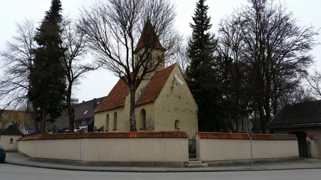
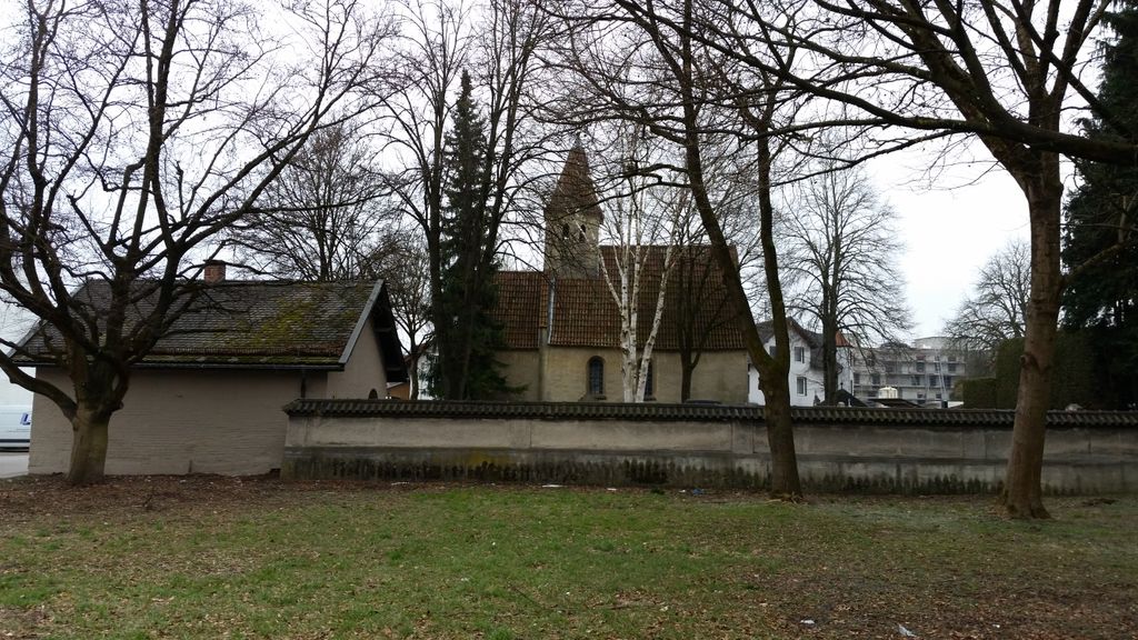
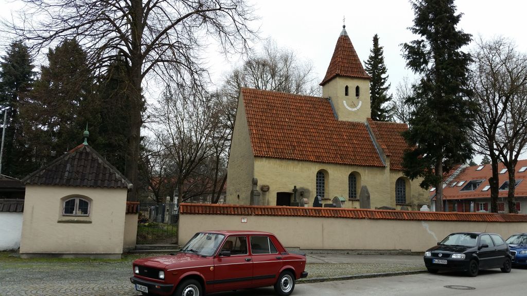
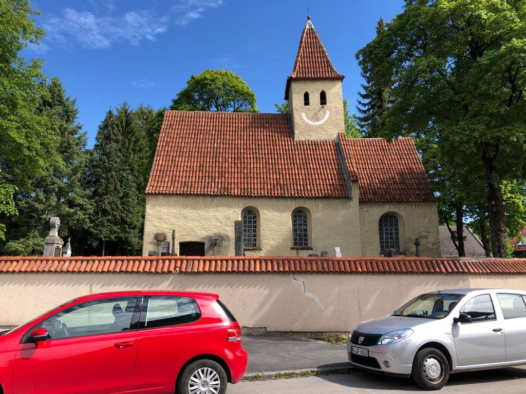
| Description | : | This is a Catholic cemetery in the former village of Englschaking. It surrounds the old St. Nikolaus Church. Please note that the graves in Germany are not perpetual. After a certain period of repose (20-30 years) the graves are being leveled and re-used. There is no toxic embalming being done in Germany, so the coffin and the corpse have decomposed naturally. If the family of the deceased decides to purchase another period the duration can be extended by another 30 years. War Graves are considered memorials and are kept up by the owner of the cemetery. Those are kept forever. |
frequently asked questions (FAQ):
-
Where is Kirchfriedhof Englschalking St. Nikolaus?
Kirchfriedhof Englschalking St. Nikolaus is located at Flaschenträger Strasse 3 Englschalking, Stadtkreis München ,Bavaria (Bayern) , 81927Germany.
-
Kirchfriedhof Englschalking St. Nikolaus cemetery's updated grave count on graveviews.com?
0 memorials
-
Where are the coordinates of the Kirchfriedhof Englschalking St. Nikolaus?
Latitude: 48.1581880
Longitude: 11.6431410
Nearby Cemetories:
1. Friedhof Daglfing
Daglfing, Stadtkreis München, Germany
Coordinate: 48.1524050, 11.6573840
2. Kirchhof Johanneskirchen
Johanneskirchen, Stadtkreis München, Germany
Coordinate: 48.1698390, 11.6504560
3. Kirchhof Oberföhring
Oberföhring, Stadtkreis München, Germany
Coordinate: 48.1709000, 11.6238910
4. Bogenhausener Friedhof
Bogenhausen, Stadtkreis München, Germany
Coordinate: 48.1477780, 11.6013890
5. St. Mina in Berg am Laim
Berg am Laim, Stadtkreis München, Germany
Coordinate: 48.1269200, 11.6295700
6. Friedhof Riem-Neuer Teil
Riem, Stadtkreis München, Germany
Coordinate: 48.1354630, 11.6793450
7. Nordfriedhof München
Schwabing, Stadtkreis München, Germany
Coordinate: 48.1745160, 11.5997350
8. St. Michael in Berg am Laim
Berg am Laim, Stadtkreis München, Germany
Coordinate: 48.1251500, 11.6301800
9. Kirchhof Sankt Valentin
Unterfohring, Landkreis München, Germany
Coordinate: 48.1925701, 11.6382245
10. Haidhauser Friedhof
Haidhausen, Stadtkreis München, Germany
Coordinate: 48.1340670, 11.6043190
11. Friedhof Riem
Riem, Stadtkreis München, Germany
Coordinate: 48.1321000, 11.6800400
12. Neuer Israelitischer Friedhof
Munich (München), Stadtkreis München, Germany
Coordinate: 48.1824270, 11.6025580
13. Erlöserkirche Schwabing
Schwabing, Stadtkreis München, Germany
Coordinate: 48.1645600, 11.5879400
14. Kirchhof Freimann
Freimann, Stadtkreis München, Germany
Coordinate: 48.1927360, 11.6162980
15. Parkfriedhof Unterföhring
Unterfohring, Landkreis München, Germany
Coordinate: 48.1996757, 11.6499731
16. Ludwigskirche
Maxvorstadt, Stadtkreis München, Germany
Coordinate: 48.1488770, 11.5812642
17. Alter Franziskaner Friedhof (Defunct)
Altstadt, Stadtkreis München, Germany
Coordinate: 48.1399340, 11.5783860
18. Theatinerkirche
Altstadt, Stadtkreis München, Germany
Coordinate: 48.1420700, 11.5767800
19. Kirchhof Sankt Maria Ramersdorf
Ramersdorf, Stadtkreis München, Germany
Coordinate: 48.1140950, 11.6150460
20. Gemeindefriedhof Aschheim
Aschheim, Landkreis München, Germany
Coordinate: 48.1722890, 11.7118110
21. Alter Nordfriedhof
Maxvorstadt, Stadtkreis München, Germany
Coordinate: 48.1530960, 11.5713290
22. Salvator Churchyard
Altstadt, Stadtkreis München, Germany
Coordinate: 48.1415990, 11.5749600
23. Peterskirche
Altstadt, Stadtkreis München, Germany
Coordinate: 48.1364900, 11.5760200
24. Frauenkirche Cathedral
Altstadt, Stadtkreis München, Germany
Coordinate: 48.1385670, 11.5730430