
| Memorials | : | 0 |
| Location | : | Unterfohring, Landkreis München, Germany |
| Coordinate | : | 48.1925701, 11.6382245 |
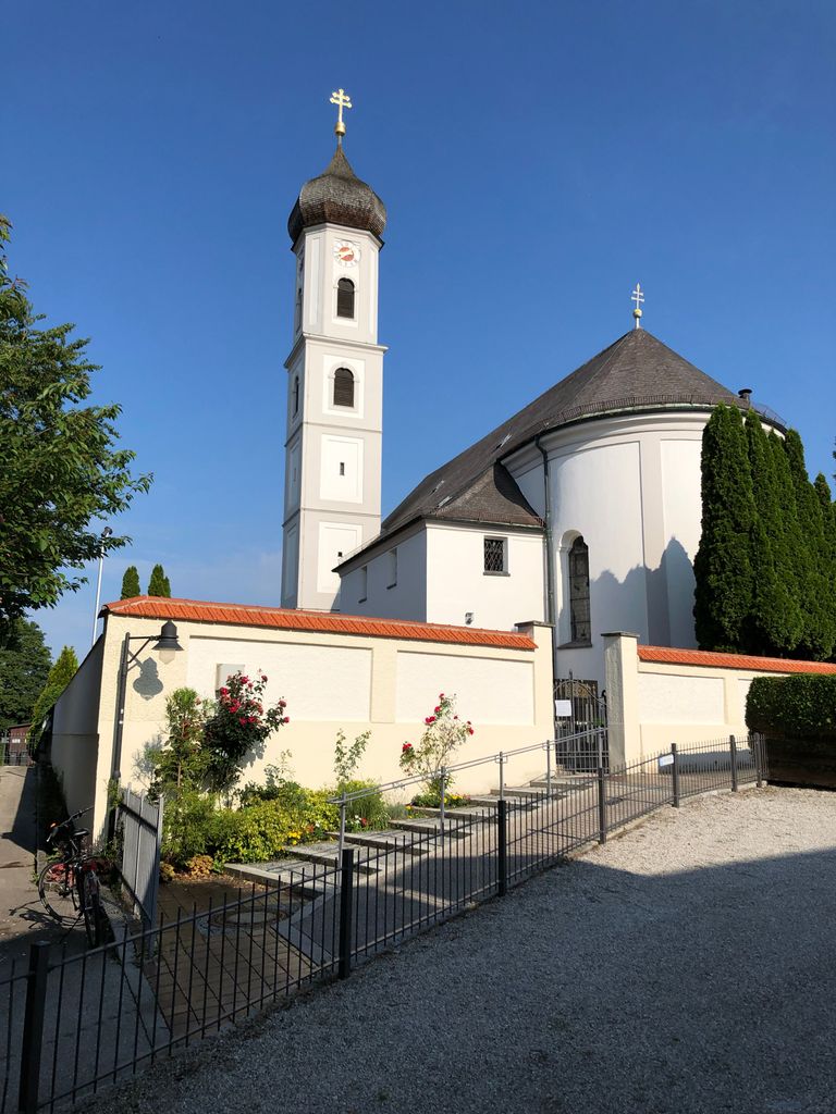
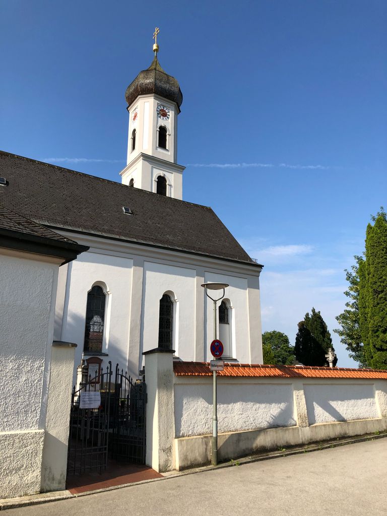
| Description | : | Small, old cemetery around the catholic church St. Valentin surviewing from a hill the river Isar which is flowing through the city of Munich. |
frequently asked questions (FAQ):
-
Where is Kirchhof Sankt Valentin?
Kirchhof Sankt Valentin is located at Kirchenweg Unterfohring, Landkreis München ,Bavaria (Bayern) , 85774Germany.
-
Kirchhof Sankt Valentin cemetery's updated grave count on graveviews.com?
0 memorials
-
Where are the coordinates of the Kirchhof Sankt Valentin?
Latitude: 48.1925701
Longitude: 11.6382245
Nearby Cemetories:
1. Parkfriedhof Unterföhring
Unterfohring, Landkreis München, Germany
Coordinate: 48.1996757, 11.6499731
2. Kirchhof Freimann
Freimann, Stadtkreis München, Germany
Coordinate: 48.1927360, 11.6162980
3. Kirchhof Oberföhring
Oberföhring, Stadtkreis München, Germany
Coordinate: 48.1709000, 11.6238910
4. Kirchhof Johanneskirchen
Johanneskirchen, Stadtkreis München, Germany
Coordinate: 48.1698390, 11.6504560
5. Friedhof Fröttmaning
Frottmaning, Stadtkreis München, Germany
Coordinate: 48.2177970, 11.6304040
6. Neuer Israelitischer Friedhof
Munich (München), Stadtkreis München, Germany
Coordinate: 48.1824270, 11.6025580
7. Nordfriedhof München
Schwabing, Stadtkreis München, Germany
Coordinate: 48.1745160, 11.5997350
8. Kirchfriedhof Englschalking St. Nikolaus
Englschalking, Stadtkreis München, Germany
Coordinate: 48.1581880, 11.6431410
9. Friedhof Daglfing
Daglfing, Stadtkreis München, Germany
Coordinate: 48.1524050, 11.6573840
10. Erlöserkirche Schwabing
Schwabing, Stadtkreis München, Germany
Coordinate: 48.1645600, 11.5879400
11. Alter Friedhof Ismaning
Ismaning, Landkreis München, Germany
Coordinate: 48.2272500, 11.6792400
12. Bogenhausener Friedhof
Bogenhausen, Stadtkreis München, Germany
Coordinate: 48.1477780, 11.6013890
13. Gemeindefriedhof Aschheim
Aschheim, Landkreis München, Germany
Coordinate: 48.1722890, 11.7118110
14. Friedhof St.-Katharina in Garching bei München
Garching bei München, Landkreis München, Germany
Coordinate: 48.2486400, 11.6517700
15. Oberschleissheim Churchyard
Oberschleissheim, Landkreis München, Germany
Coordinate: 48.2327500, 11.5768400
16. Ludwigskirche
Maxvorstadt, Stadtkreis München, Germany
Coordinate: 48.1488770, 11.5812642
17. Friedhof Oberschleißheim
Oberschleissheim, Landkreis München, Germany
Coordinate: 48.2326900, 11.5752000
18. Alter Nordfriedhof
Maxvorstadt, Stadtkreis München, Germany
Coordinate: 48.1530960, 11.5713290
19. Haidhauser Friedhof
Haidhausen, Stadtkreis München, Germany
Coordinate: 48.1340670, 11.6043190
20. Friedhof Riem-Neuer Teil
Riem, Stadtkreis München, Germany
Coordinate: 48.1354630, 11.6793450
21. Städtlicher Friedhof von Garching bei München
Garching bei München, Landkreis München, Germany
Coordinate: 48.2551400, 11.6549700
22. Theatinerkirche
Altstadt, Stadtkreis München, Germany
Coordinate: 48.1420700, 11.5767800
23. St. Mina in Berg am Laim
Berg am Laim, Stadtkreis München, Germany
Coordinate: 48.1269200, 11.6295700
24. Alter Franziskaner Friedhof (Defunct)
Altstadt, Stadtkreis München, Germany
Coordinate: 48.1399340, 11.5783860