| Memorials | : | 0 |
| Location | : | Riem, Stadtkreis München, Germany |
| Coordinate | : | 48.1321000, 11.6800400 |
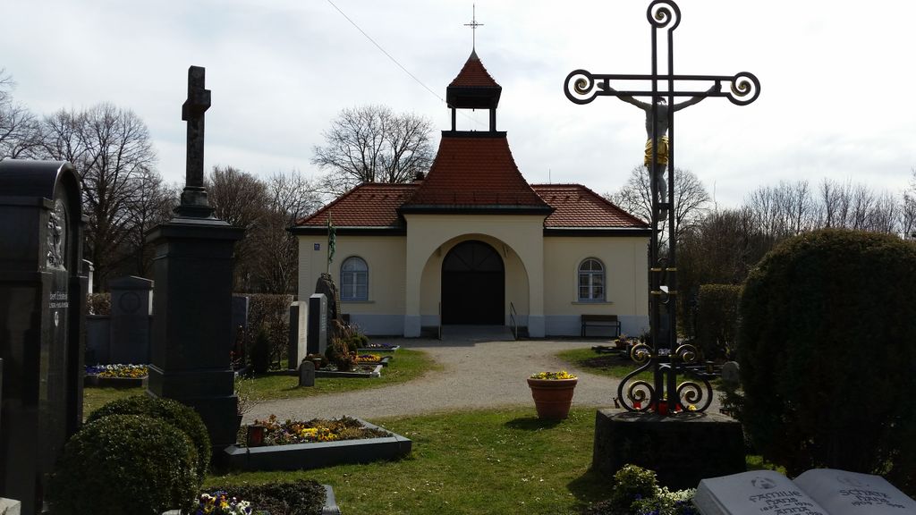
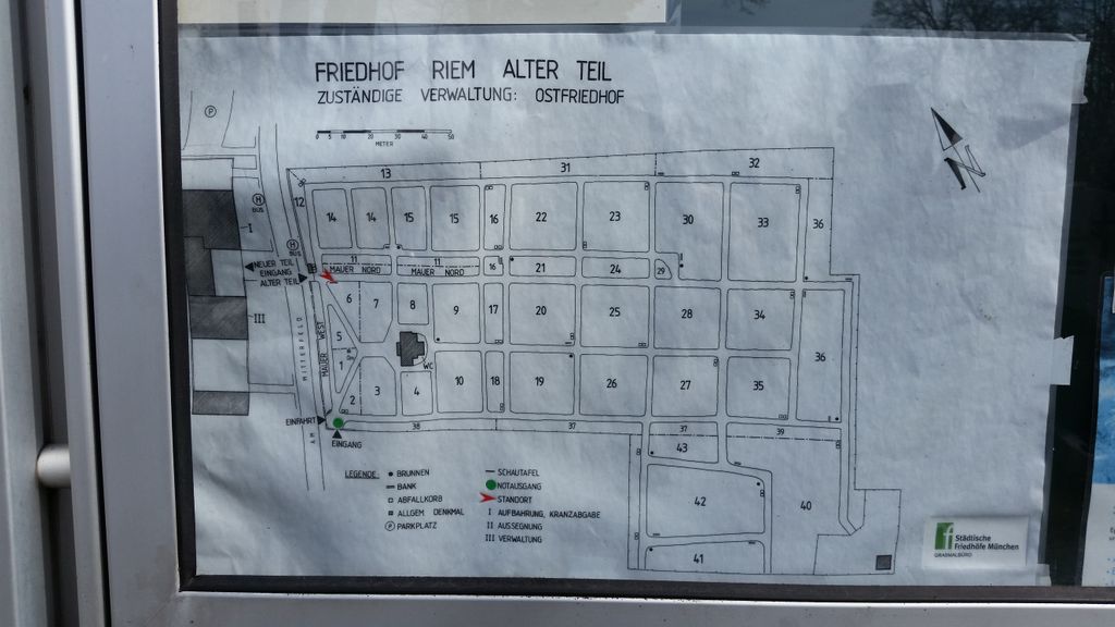
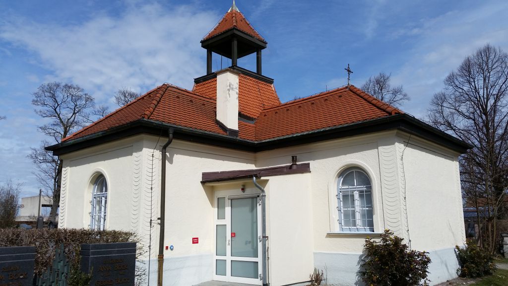
| Description | : | For the new part of the cemetery of Riem go to: ► Friedhof Riem Stadt München (City of Munich): Municipal Cemteries ► Alter Nordfriedhof ► Alter Südfriedhof ► Friedhof Allach ► Friedhof Aubing ► Friedhof am Perlacher Forst ► Friedhof Bogenhausen ► Friedhof Daglfing ► Friedhof Feldmoching ► Friedhof Haidhausen ► Friedhof Lochhausen ► Friedhof Neuhausen ► Friedhof Nymphenburg ► Friedhof Obermenzing ► Friedhof Pasing ► Friedhof Perlach ► Friedhof Sendling ► Friedhof Solln ► Friedhof Untermenzing ► Neuer Südfriedhof ► Nordfriedhof ► Ostfriedhof ► Parkfriedhof Untermenzing ► Waldfriedhof ► Waldfriedhof Solln ► Westfriedhof Congregational Cemeteries: ► Alter Israelitischer Friedhof ► Gutsfriedhof Freiham ► Kirchfriedhof Englschalking ► Kirchhof Allach ► Friedhof Forstenried ► Friedhof Fröttmaning ► Kirchhof Freimann ► Friedhof Grosshadern ► Kirchhof Johanneskirchen ► Kirchhof Oberföhring ►... Read More |
frequently asked questions (FAQ):
-
Where is Friedhof Riem?
Friedhof Riem is located at Am Mitterfeld 68 Riem, Stadtkreis München ,Bavaria (Bayern) , 81829Germany.
-
Friedhof Riem cemetery's updated grave count on graveviews.com?
0 memorials
-
Where are the coordinates of the Friedhof Riem?
Latitude: 48.1321000
Longitude: 11.6800400
Nearby Cemetories:
1. Friedhof Riem-Neuer Teil
Riem, Stadtkreis München, Germany
Coordinate: 48.1354630, 11.6793450
2. Friedhof Daglfing
Daglfing, Stadtkreis München, Germany
Coordinate: 48.1524050, 11.6573840
3. St. Michael in Berg am Laim
Berg am Laim, Stadtkreis München, Germany
Coordinate: 48.1251500, 11.6301800
4. St. Mina in Berg am Laim
Berg am Laim, Stadtkreis München, Germany
Coordinate: 48.1269200, 11.6295700
5. Kirchfriedhof Englschalking St. Nikolaus
Englschalking, Stadtkreis München, Germany
Coordinate: 48.1581880, 11.6431410
6. Friedhof Haar
Haar, Landkreis München, Germany
Coordinate: 48.1094825, 11.7243616
7. Friedhof Feldkirchen
Feldkirchen, Landkreis München, Germany
Coordinate: 48.1453530, 11.7367380
8. Friedhof Perlach
Perlach, Stadtkreis München, Germany
Coordinate: 48.0986330, 11.6417190
9. Kirchhof Johanneskirchen
Johanneskirchen, Stadtkreis München, Germany
Coordinate: 48.1698390, 11.6504560
10. Waldfriedhof Haar
Haar, Landkreis München, Germany
Coordinate: 48.1023386, 11.7260159
11. St. Michael Church Cemetery
Perlach, Stadtkreis München, Germany
Coordinate: 48.1016400, 11.6314100
12. Gemeindefriedhof Aschheim
Aschheim, Landkreis München, Germany
Coordinate: 48.1722890, 11.7118110
13. Kirchhof Sankt Maria Ramersdorf
Ramersdorf, Stadtkreis München, Germany
Coordinate: 48.1140950, 11.6150460
14. St. Aegidius
Grasbrunn, Landkreis München, Germany
Coordinate: 48.0962000, 11.7262100
15. Neuer Südfriedhof
Perlach, Stadtkreis München, Germany
Coordinate: 48.1009100, 11.6239400
16. Haidhauser Friedhof
Haidhausen, Stadtkreis München, Germany
Coordinate: 48.1340670, 11.6043190
17. Kirchhof Oberföhring
Oberföhring, Stadtkreis München, Germany
Coordinate: 48.1709000, 11.6238910
18. Bogenhausener Friedhof
Bogenhausen, Stadtkreis München, Germany
Coordinate: 48.1477780, 11.6013890
19. Friedhof Neubiberg
Neubiberg, Landkreis München, Germany
Coordinate: 48.0765420, 11.6483910
20. Ostfriedhof Munich
Munich (München), Stadtkreis München, Germany
Coordinate: 48.1201101, 11.5900883
21. Katholischer Friedhof Putzbrunn
Putzbrunn, Landkreis München, Germany
Coordinate: 48.0756733, 11.7162485
22. Ostfriedhof München
Giesing, Stadtkreis München, Germany
Coordinate: 48.1177788, 11.5888891
23. Waldfriedhof Putzbrunn
Putzbrunn, Landkreis München, Germany
Coordinate: 48.0702927, 11.7071604
24. Friedhof am Perlacher Forst
Fasangarten, Stadtkreis München, Germany
Coordinate: 48.0991470, 11.5964970


