
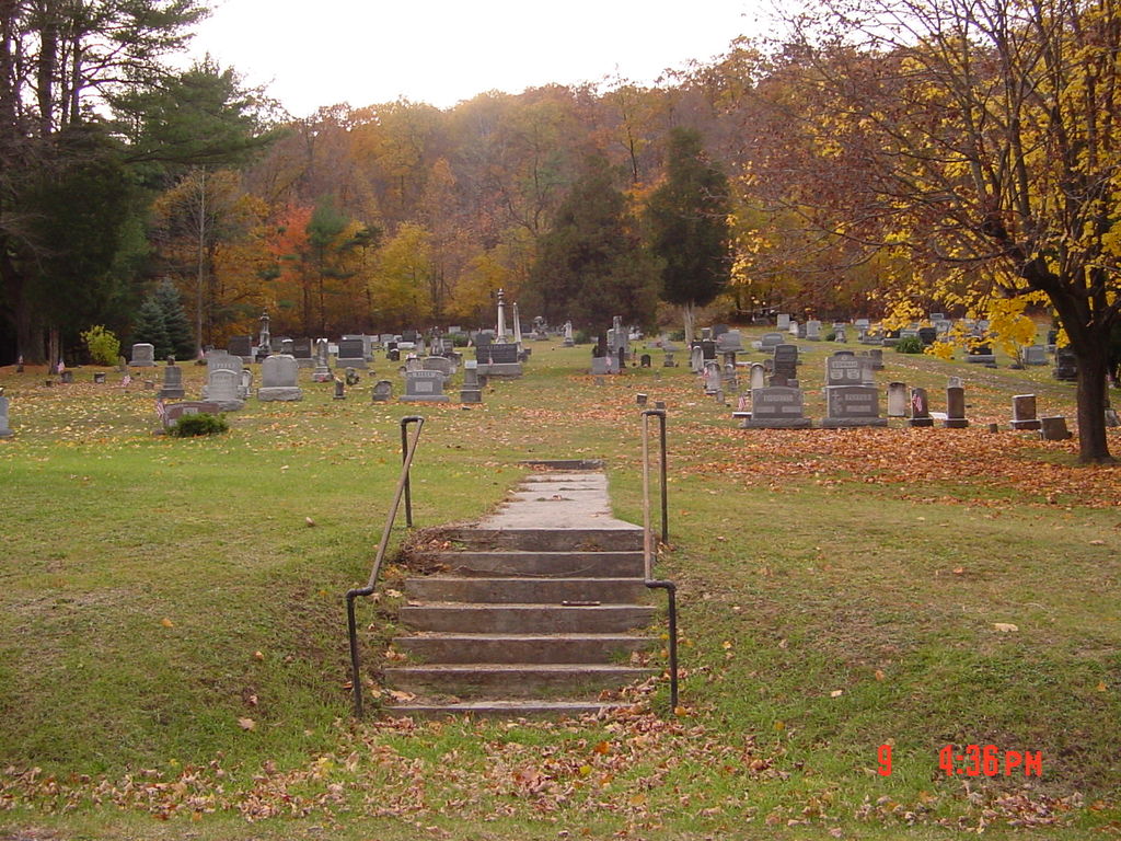
| Memorials | : | 3 |
| Location | : | Knobsville, Fulton County, USA |
| Coordinate | : | 40.0077000, -77.9645000 |
frequently asked questions (FAQ):
-
Where is Knobsville United Methodist Church Cemetery?
Knobsville United Methodist Church Cemetery is located at Upper Road (Township Road 418) Knobsville, Fulton County ,Pennsylvania , 17233USA.
-
Knobsville United Methodist Church Cemetery cemetery's updated grave count on graveviews.com?
3 memorials
-
Where are the coordinates of the Knobsville United Methodist Church Cemetery?
Latitude: 40.0077000
Longitude: -77.9645000
Nearby Cemetories:
1. Knobsville Reformed Cemetery
Fulton County, USA
Coordinate: 40.0106000, -77.9626000
2. Englert Farm Cemetery
Knobsville, Fulton County, USA
Coordinate: 40.0246000, -77.9400000
3. Gingrey/Marshall Family Cemetery
McConnellsburg, Fulton County, USA
Coordinate: 39.9585850, -77.9757460
4. Bethlehem United Brethren Cemetery
McConnellsburg, Fulton County, USA
Coordinate: 39.9699000, -78.0078000
5. McConnellsdale Brethren Cemetery
McConnellsburg, Fulton County, USA
Coordinate: 39.9542700, -77.9831800
6. Pheil Family
Richmond Furnace, Franklin County, USA
Coordinate: 39.9762558, -77.9024141
7. Malone Graveyard
Richmond Furnace, Franklin County, USA
Coordinate: 39.9650506, -77.9132391
8. Cox Family Cemetery
Richmond Furnace, Franklin County, USA
Coordinate: 39.9697033, -77.9059752
9. Hustontown Methodist Cemetery
Hustontown, Fulton County, USA
Coordinate: 40.0441900, -78.0297410
10. Huston Family Cemetery
Hustontown, Fulton County, USA
Coordinate: 40.0485500, -78.0261170
11. Fort Littleton Cemetery
Fort Littleton, Fulton County, USA
Coordinate: 40.0705986, -77.9674988
12. Wright Farm Family Cemetery
Metal, Franklin County, USA
Coordinate: 40.0213364, -77.8832249
13. Carrick United Methodist Church Cemetery
Metal, Franklin County, USA
Coordinate: 40.0151850, -77.8783810
14. Davis Lane Cemetery
Fulton County, USA
Coordinate: 40.0403000, -78.0417000
15. Metal Methodist Cemetery
Metal, Franklin County, USA
Coordinate: 40.0240000, -77.8725000
16. McConnellsburg Reformed Cemetery
McConnellsburg, Fulton County, USA
Coordinate: 39.9348770, -77.9976990
17. McConnellsburg Lutheran Cemetery
McConnellsburg, Fulton County, USA
Coordinate: 39.9340000, -77.9957000
18. McConnellsburg Methodist Cemetery
McConnellsburg, Fulton County, USA
Coordinate: 39.9328000, -77.9962000
19. Mountain View Mennonite Church Cemetery
McConnellsburg, Fulton County, USA
Coordinate: 39.9375450, -78.0117350
20. Freedom Hill Cemetery
McConnellsburg, Fulton County, USA
Coordinate: 39.9383430, -78.0137500
21. McConnellsburg Presbyterian Cemetery
McConnellsburg, Fulton County, USA
Coordinate: 39.9316000, -78.0001000
22. Mealman Cemetery
Upper Strasburg, Franklin County, USA
Coordinate: 39.9531000, -77.8824330
23. Hessian Cemetery
Upper Strasburg, Franklin County, USA
Coordinate: 39.9731830, -77.8636000
24. Burnt Cabins Cemetery
Burnt Cabins, Fulton County, USA
Coordinate: 40.0754000, -77.8963000