
| Memorials | : | 0 |
| Location | : | La Paz County, USA |
| Coordinate | : | 33.2652900, -113.9542200 |
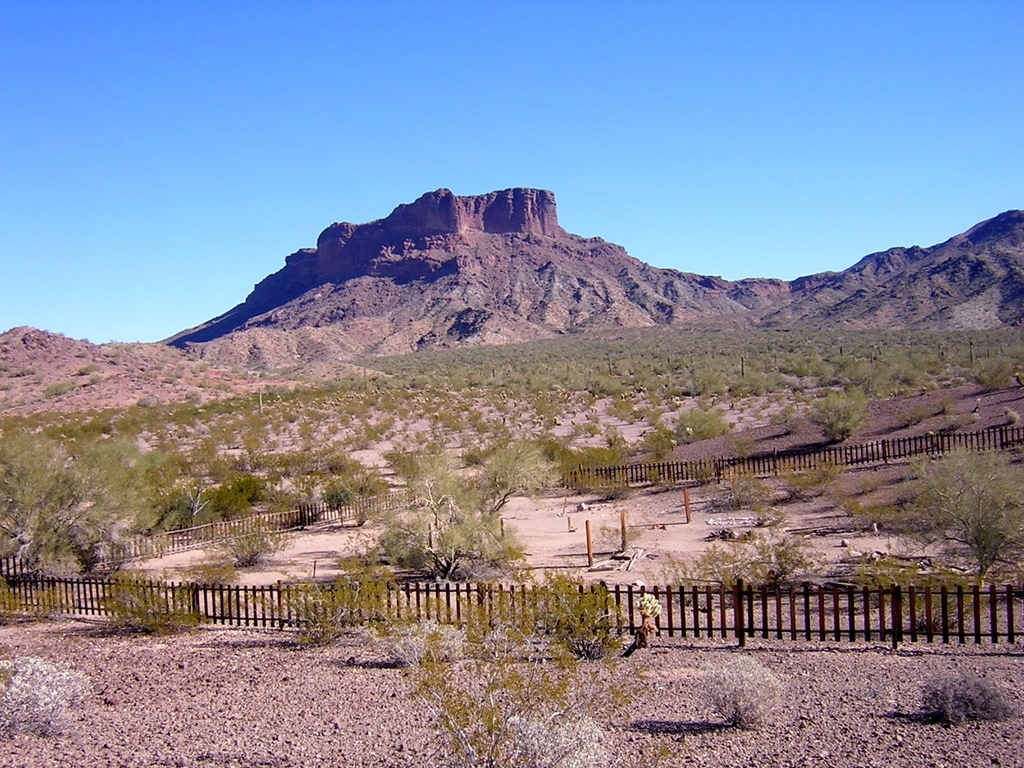
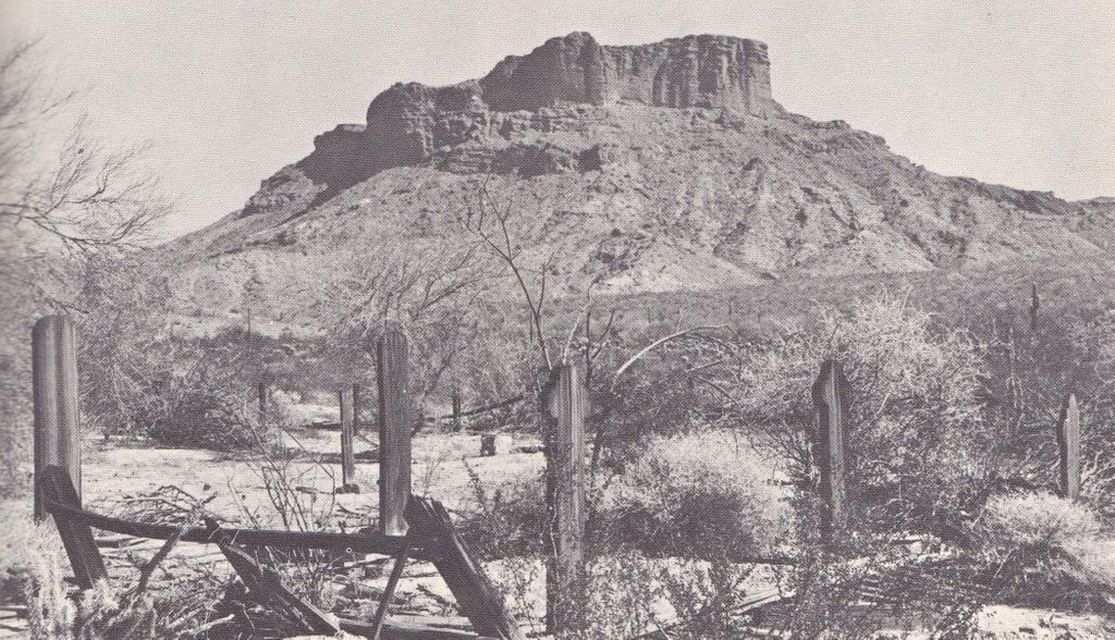
| Description | : | This old cemetery is located within the Kofa National Wildlife Refuge northeast of Yuma, and roughly 25 miles east of Highway 95 from Stone Cabin. It is located just over a small hill and off the road about 100 yards. The cemetery is about a mile southeast from the King of Arizona (KOFA) mine. There is one more stone which I couldn't read, and four tall wooden markers with no names left on them. There are other graves marked with stones around them, etc. My brother-in-law and I visited the cemetery on Dec. 28, 2012. Later, I found a great website... Read More |
frequently asked questions (FAQ):
-
Where is Kofa Cemetery?
Kofa Cemetery is located at La Paz County ,Arizona ,USA.
-
Kofa Cemetery cemetery's updated grave count on graveviews.com?
0 memorials
-
Where are the coordinates of the Kofa Cemetery?
Latitude: 33.2652900
Longitude: -113.9542200

Nearby Cemetories:
1. Hovatter Grave Sites
Yuma County, USA
Coordinate: 33.3527170, -113.7757170
2. Hi Jolly Cemetery
Quartzsite, La Paz County, USA
Coordinate: 33.6644470, -114.2363660
3. Vicksburg Cemetery
Vicksburg, La Paz County, USA
Coordinate: 33.7115250, -113.7666680
4. Harqua Hala Cemetery
La Paz County, USA
Coordinate: 33.6748000, -113.5918000
5. Butterfield Stage Station Burial Site
Roll, Yuma County, USA
Coordinate: 32.7101640, -114.0098830
6. La Paz Cemetery
Ehrenberg, La Paz County, USA
Coordinate: 33.6791670, -114.4263890
7. Harrisburg Cemetery
La Paz County, USA
Coordinate: 33.7346992, -113.5447006
8. Ehrenberg Cemetery
Ehrenberg, La Paz County, USA
Coordinate: 33.6056000, -114.5236000
9. Dick Wick Hall Gravesite
Salome, La Paz County, USA
Coordinate: 33.7828000, -113.6181000
10. Cibola Cemetery
Cibola, La Paz County, USA
Coordinate: 33.3153450, -114.6641800
11. Agua Caliente Pioneer Cemetery
Maricopa County, USA
Coordinate: 32.9860830, -113.3180000
12. Picacho Cemetery
Imperial County, USA
Coordinate: 33.0207280, -114.6177150
13. Dome Cemetery
Yuma County, USA
Coordinate: 32.7558500, -114.3652170
14. Wellton Memorial Cemetery
Wellton, Yuma County, USA
Coordinate: 32.6536000, -114.1420000
15. Picacho Mine Cemetery
Picacho, Imperial County, USA
Coordinate: 32.9665000, -114.6375500
16. Potholes Cemetery
Bard, Imperial County, USA
Coordinate: 32.8171997, -114.5119019
17. Laguna Cemetery
Laguna, Yuma County, USA
Coordinate: 32.8017113, -114.4963377
18. Palo Verde Cemetery
Blythe, Riverside County, USA
Coordinate: 33.6307983, -114.5999985
19. Wenden Cemetery
Wenden, La Paz County, USA
Coordinate: 33.8187500, -113.5334440
20. Bouse Cemetery
Bouse, La Paz County, USA
Coordinate: 33.9416000, -114.0021000
21. Oatman Grave
Maricopa County, USA
Coordinate: 33.0042000, -113.1556015
22. Fourr Cemetery
Maricopa County, USA
Coordinate: 33.0042000, -113.1397018
23. Saint John Neumann Catholic Church Columbarium
Yuma, Yuma County, USA
Coordinate: 32.6550700, -114.4368200
24. Sunset Vista Funeral Home & Cemetery
Yuma, Yuma County, USA
Coordinate: 32.6548000, -114.4386000