
| Memorials | : | 2 |
| Location | : | Laflin, Bollinger County, USA |
| Coordinate | : | 37.2770157, -89.8894196 |
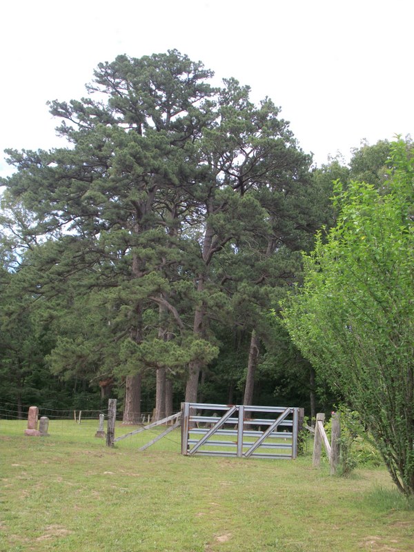
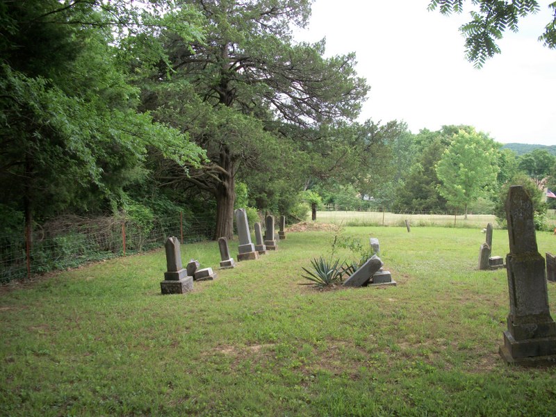
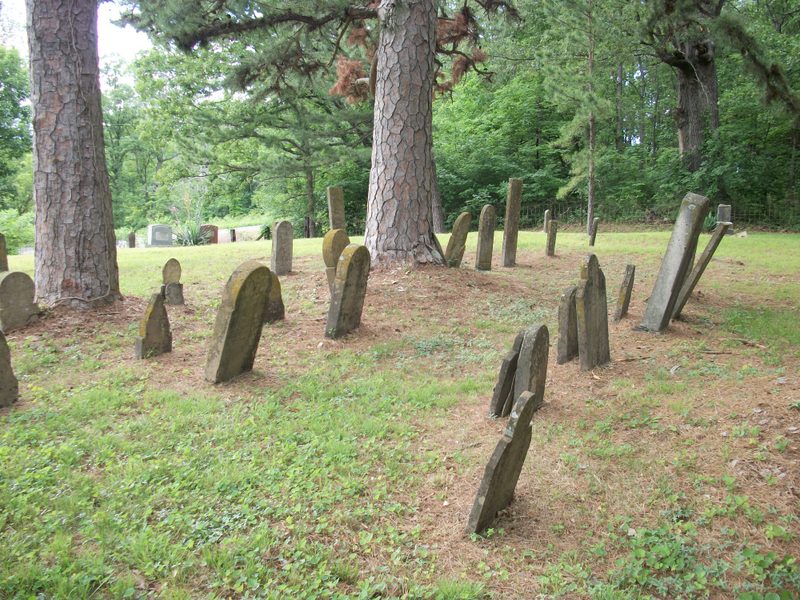
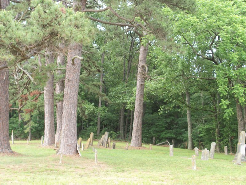
| Description | : | There is one cemetery in Laflin. Some of the families of the first settlers are buried here. Names of families buried here include Snider, Buckner, Clippard, Pittman, Shell, Dale and Poston. |
frequently asked questions (FAQ):
-
Where is Laflin Cemetery?
Laflin Cemetery is located at Laflin, Bollinger County ,Missouri ,USA.
-
Laflin Cemetery cemetery's updated grave count on graveviews.com?
2 memorials
-
Where are the coordinates of the Laflin Cemetery?
Latitude: 37.2770157
Longitude: -89.8894196
Nearby Cemetories:
1. Ebenezer Cemetery
Laflin, Bollinger County, USA
Coordinate: 37.3003006, -89.8899994
2. Barks Chapel Cemetery
Whitewater, Cape Girardeau County, USA
Coordinate: 37.2642212, -89.8592606
3. Perkins Cemetery
Bollinger County, USA
Coordinate: 37.2738991, -89.9313965
4. Stroder Cemetery
Cape Girardeau County, USA
Coordinate: 37.2860985, -89.8458023
5. Saint Johns Cemetery
Leopold, Bollinger County, USA
Coordinate: 37.2585983, -89.9282990
6. Hood Cemetery
Leopold, Bollinger County, USA
Coordinate: 37.2355500, -89.8980100
7. Spivey Cemetery
Cape Girardeau County, USA
Coordinate: 37.2963982, -89.8386002
8. Formway Cemetery
Bollinger County, USA
Coordinate: 37.3166900, -89.9165400
9. Proffer Cemetery
Crump, Cape Girardeau County, USA
Coordinate: 37.2807999, -89.8274994
10. Eaker Cemetery
Lutesville, Bollinger County, USA
Coordinate: 37.2778015, -89.9516983
11. Bailey Cemetery
Huskey, Bollinger County, USA
Coordinate: 37.3274994, -89.8957977
12. Crader Cemetery
Huskey, Bollinger County, USA
Coordinate: 37.3280983, -89.8711014
13. Hahn Chapel Cemetery
Marble Hill, Bollinger County, USA
Coordinate: 37.3061638, -89.9492645
14. Crump Cemetery
Crump, Cape Girardeau County, USA
Coordinate: 37.2771988, -89.8174973
15. Scott Cemetery
Leopold, Bollinger County, USA
Coordinate: 37.2186012, -89.8681030
16. Passover Cemetery
Whitewater, Cape Girardeau County, USA
Coordinate: 37.2256012, -89.8458023
17. Shell Cemetery
Lutesville, Bollinger County, USA
Coordinate: 37.2839012, -89.9693985
18. Stroderville Cemetery
Whitewater, Cape Girardeau County, USA
Coordinate: 37.2472000, -89.8118973
19. Marble Hill Cemetery
Marble Hill, Bollinger County, USA
Coordinate: 37.3032799, -89.9701309
20. Hahn Cemetery
Lutesville, Bollinger County, USA
Coordinate: 37.2886009, -89.9772034
21. Allen Cemetery
Burfordville, Cape Girardeau County, USA
Coordinate: 37.3424988, -89.8475037
22. El Nathan Cemetery
Marble Hill, Bollinger County, USA
Coordinate: 37.3086710, -89.9757960
23. Lessley Ridge Cemetery
Huskey, Bollinger County, USA
Coordinate: 37.3531075, -89.8720474
24. Baker Cemetery
Marble Hill, Bollinger County, USA
Coordinate: 37.2722015, -89.9869003