
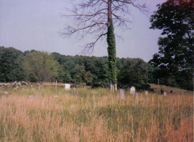
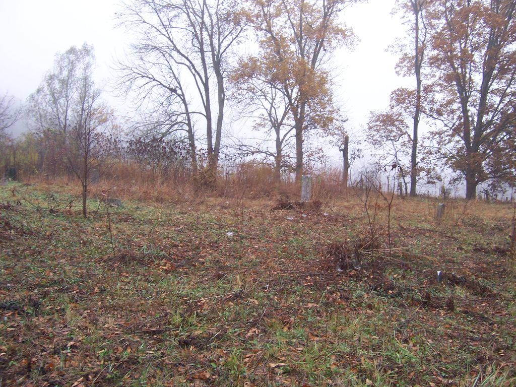
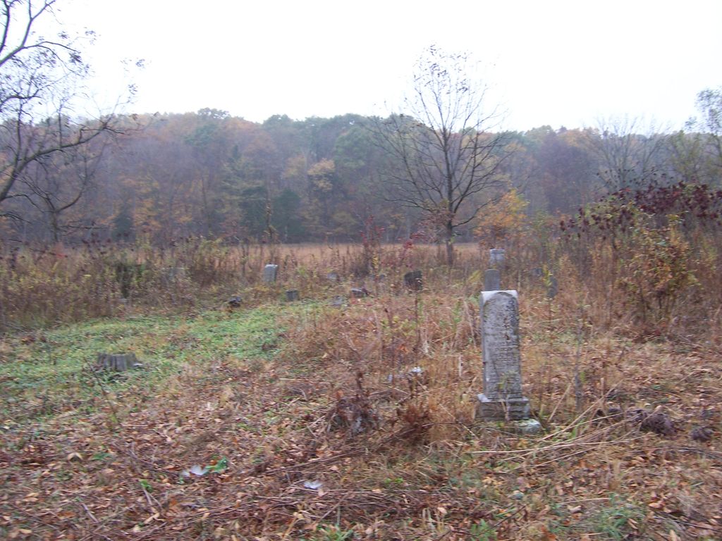
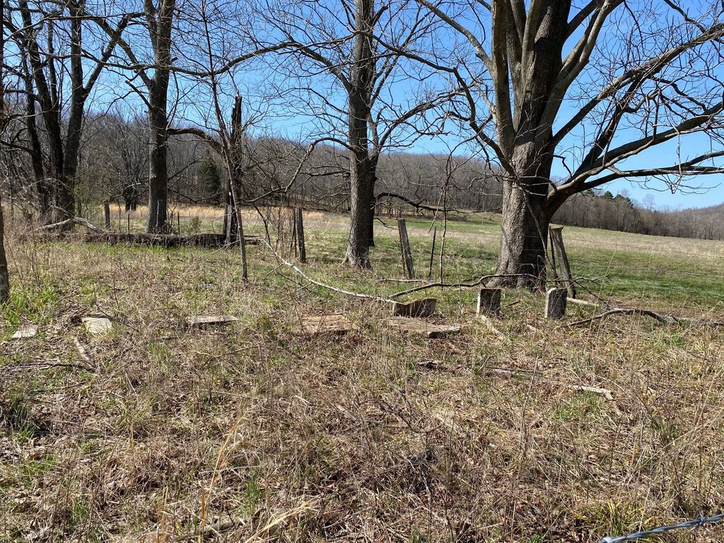
| Memorials | : | 1 |
| Location | : | Huskey, Bollinger County, USA |
| Coordinate | : | 37.3274994, -89.8957977 |
frequently asked questions (FAQ):
-
Where is Bailey Cemetery?
Bailey Cemetery is located at Huskey, Bollinger County ,Missouri ,USA.
-
Bailey Cemetery cemetery's updated grave count on graveviews.com?
1 memorials
-
Where are the coordinates of the Bailey Cemetery?
Latitude: 37.3274994
Longitude: -89.8957977
Nearby Cemetories:
1. Crader Cemetery
Huskey, Bollinger County, USA
Coordinate: 37.3280983, -89.8711014
2. Formway Cemetery
Bollinger County, USA
Coordinate: 37.3166900, -89.9165400
3. Ebenezer Cemetery
Laflin, Bollinger County, USA
Coordinate: 37.3003006, -89.8899994
4. Lessley Ridge Cemetery
Huskey, Bollinger County, USA
Coordinate: 37.3531075, -89.8720474
5. Allen Cemetery
Burfordville, Cape Girardeau County, USA
Coordinate: 37.3424988, -89.8475037
6. Hahn Chapel Cemetery
Marble Hill, Bollinger County, USA
Coordinate: 37.3061638, -89.9492645
7. Barks Cemetery
Marble Hill, Bollinger County, USA
Coordinate: 37.3506012, -89.9494019
8. Laflin Cemetery
Laflin, Bollinger County, USA
Coordinate: 37.2770157, -89.8894196
9. Gravel Hill Cemetery
Cape Girardeau, Cape Girardeau County, USA
Coordinate: 37.3689003, -89.8582993
10. Spivey Cemetery
Cape Girardeau County, USA
Coordinate: 37.2963982, -89.8386002
11. Stroder Cemetery
Cape Girardeau County, USA
Coordinate: 37.2860985, -89.8458023
12. Perkins Cemetery
Bollinger County, USA
Coordinate: 37.2738991, -89.9313965
13. Chostner Cemetery
Scopus, Bollinger County, USA
Coordinate: 37.3857994, -89.9263992
14. Marble Hill Cemetery
Marble Hill, Bollinger County, USA
Coordinate: 37.3032799, -89.9701309
15. El Nathan Cemetery
Marble Hill, Bollinger County, USA
Coordinate: 37.3086710, -89.9757960
16. Eaker Cemetery
Lutesville, Bollinger County, USA
Coordinate: 37.2778015, -89.9516983
17. Mount Zion Cemetery
Scopus, Bollinger County, USA
Coordinate: 37.3815575, -89.9451447
18. Barks Chapel Cemetery
Whitewater, Cape Girardeau County, USA
Coordinate: 37.2642212, -89.8592606
19. Proffer Cemetery
Crump, Cape Girardeau County, USA
Coordinate: 37.2807999, -89.8274994
20. Shell Cemetery
Lutesville, Bollinger County, USA
Coordinate: 37.2839012, -89.9693985
21. Saint Johns Cemetery
Leopold, Bollinger County, USA
Coordinate: 37.2585983, -89.9282990
22. Burton Cemetery
Marble Hill, Bollinger County, USA
Coordinate: 37.3722000, -89.9697037
23. Haynes Chapel Congregational Church Cemetery
Burfordville, Cape Girardeau County, USA
Coordinate: 37.3868900, -89.8397700
24. Criddle Cemetery
Cape Girardeau County, USA
Coordinate: 37.3800011, -89.8296967