
| Memorials | : | 6 |
| Location | : | Leopold, Bollinger County, USA |
| Coordinate | : | 37.2585983, -89.9282990 |
frequently asked questions (FAQ):
-
Where is Saint Johns Cemetery?
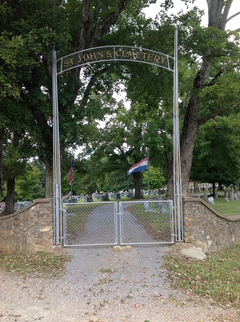
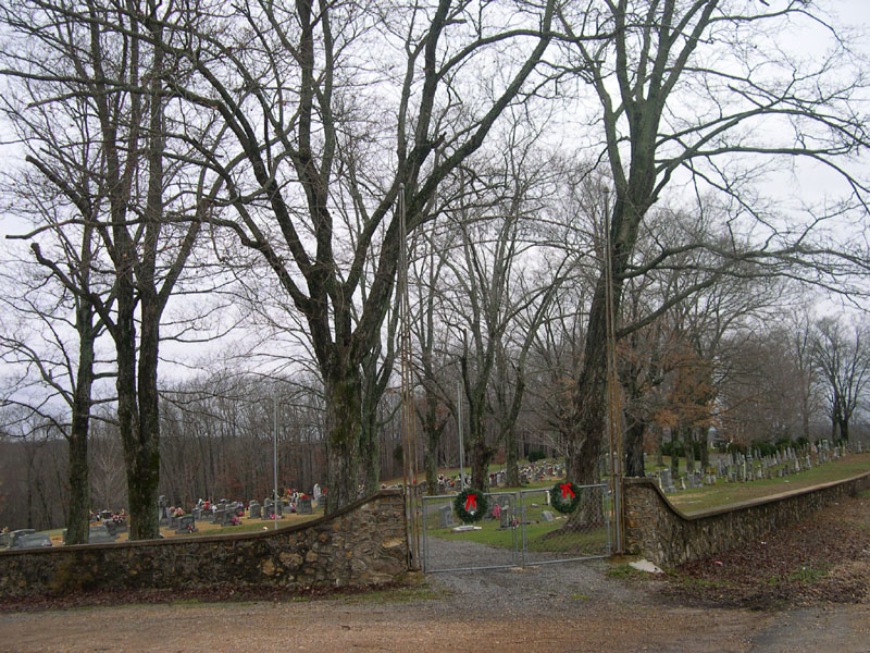
Saint Johns Cemetery is located at Leopold, Bollinger County ,Missouri ,USA.
-
Saint Johns Cemetery cemetery's updated grave count on graveviews.com?
6 memorials
-
Where are the coordinates of the Saint Johns Cemetery?
Latitude: 37.2585983
Longitude: -89.9282990
Nearby Cemetories:
1. Perkins Cemetery
Bollinger County, USA
Coordinate: 37.2738991, -89.9313965
2. Eaker Cemetery
Lutesville, Bollinger County, USA
Coordinate: 37.2778015, -89.9516983
3. Hood Cemetery
Leopold, Bollinger County, USA
Coordinate: 37.2355500, -89.8980100
4. Laflin Cemetery
Laflin, Bollinger County, USA
Coordinate: 37.2770157, -89.8894196
5. Shell Cemetery
Lutesville, Bollinger County, USA
Coordinate: 37.2839012, -89.9693985
6. Bollinger County Memorial Park Cemetery
Marble Hill, Bollinger County, USA
Coordinate: 37.2689018, -89.9871979
7. Baker Cemetery
Marble Hill, Bollinger County, USA
Coordinate: 37.2722015, -89.9869003
8. Hahn Cemetery
Lutesville, Bollinger County, USA
Coordinate: 37.2886009, -89.9772034
9. Hahn Chapel Cemetery
Marble Hill, Bollinger County, USA
Coordinate: 37.3061638, -89.9492645
10. Ebenezer Cemetery
Laflin, Bollinger County, USA
Coordinate: 37.3003006, -89.8899994
11. Barks Chapel Cemetery
Whitewater, Cape Girardeau County, USA
Coordinate: 37.2642212, -89.8592606
12. Marble Hill Cemetery
Marble Hill, Bollinger County, USA
Coordinate: 37.3032799, -89.9701309
13. Formway Cemetery
Bollinger County, USA
Coordinate: 37.3166900, -89.9165400
14. Slaybaugh Cemetery
Lutesville, Bollinger County, USA
Coordinate: 37.2982150, -89.9851870
15. Scott Cemetery
Leopold, Bollinger County, USA
Coordinate: 37.2186012, -89.8681030
16. El Nathan Cemetery
Marble Hill, Bollinger County, USA
Coordinate: 37.3086710, -89.9757960
17. Saint Anthony Catholic Cemetery
Glennon, Bollinger County, USA
Coordinate: 37.1938800, -89.9193340
18. Patterson Family Cemetery
Bollinger County, USA
Coordinate: 37.2511100, -90.0107100
19. Stroder Cemetery
Cape Girardeau County, USA
Coordinate: 37.2860985, -89.8458023
20. Clubb Creek Church Cemetery
Trowel, Bollinger County, USA
Coordinate: 37.2318306, -90.0125275
21. Passover Cemetery
Whitewater, Cape Girardeau County, USA
Coordinate: 37.2256012, -89.8458023
22. Bailey Cemetery
Huskey, Bollinger County, USA
Coordinate: 37.3274994, -89.8957977
23. Wayne Cemetery
Drum, Bollinger County, USA
Coordinate: 37.1925000, -89.8872000
24. Crites Cemetery
Trowel, Bollinger County, USA
Coordinate: 37.2318993, -90.0164032