
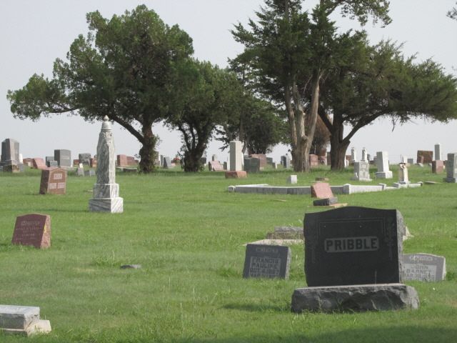
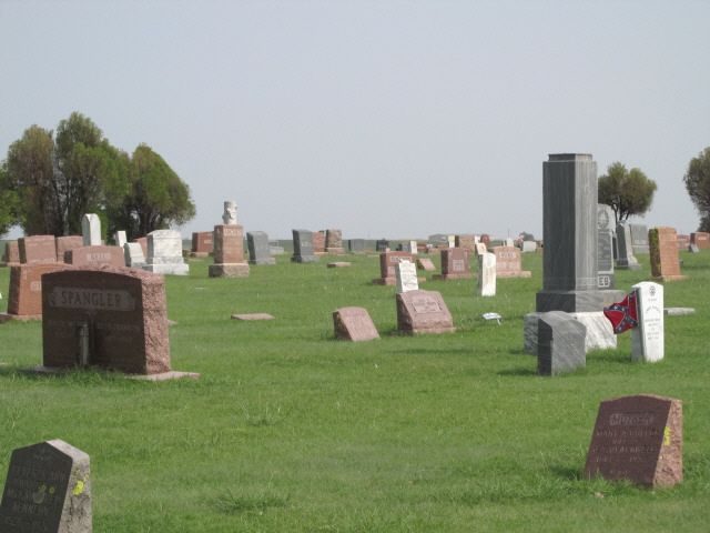
| Memorials | : | 28 |
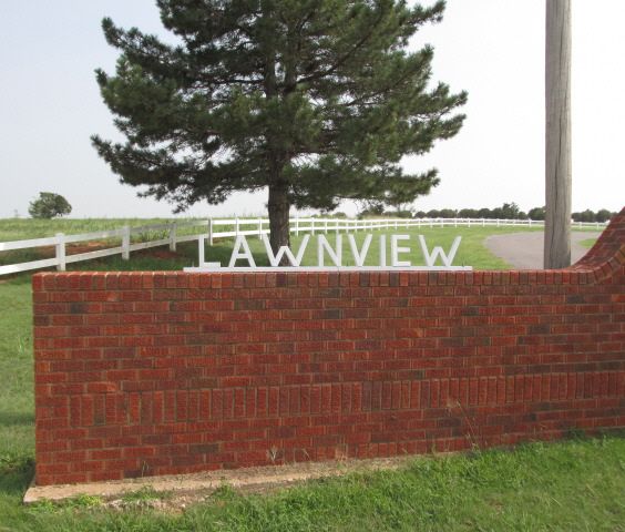
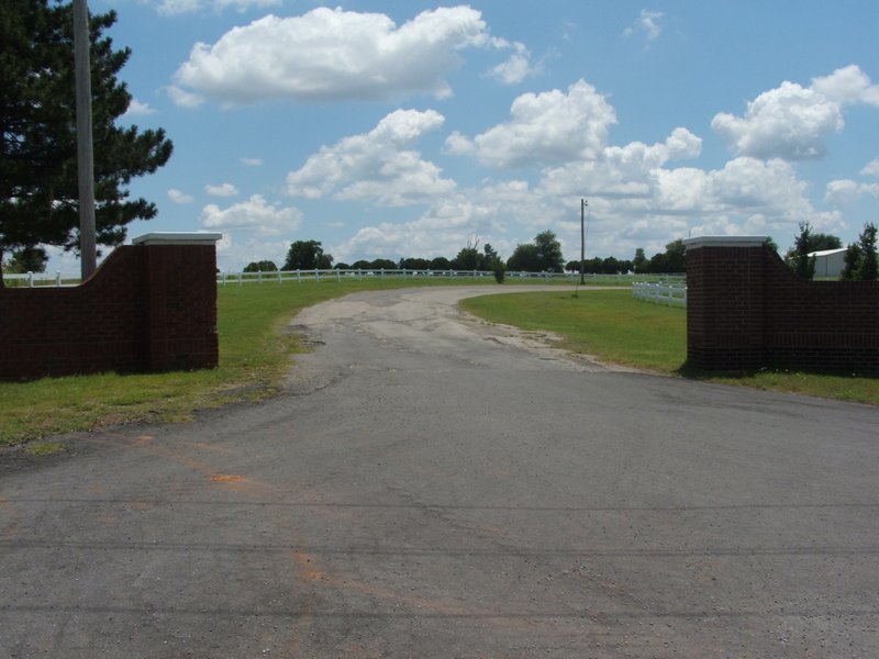
| Location | : | Cordell, Washita County, USA |
| Coordinate | : | 35.3036995, -98.9645996 |
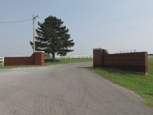
| Description | : | From the intersection of Hwy 152, and Hwy183, north 1 mile then 1 1/2 miles east. Located in Cordell Township; Legal description: NW ¼ Section 35, Township10 N, Range17 W. On 12-21-1908, James W Simmon deeded land to the City of New Cordell: There have been several purchases of additional land since that time. Sextons: Monte Proffit and Jack Creswell City of Cordell, 101 E. Main, Cordell, Ok 73632 The phone number for the cemetery office is 580-832-2989. |
frequently asked questions (FAQ):
-
Where is Lawnview Cemetery?
Lawnview Cemetery is located at Cordell, Washita County ,Oklahoma ,USA.
-
Lawnview Cemetery cemetery's updated grave count on graveviews.com?
27 memorials
-
Where are the coordinates of the Lawnview Cemetery?
Latitude: 35.3036995
Longitude: -98.9645996
Nearby Cemetories:
1. Sichar Cemetery
Cordell, Washita County, USA
Coordinate: 35.3191986, -98.9233017
2. Sod Cemetery
Cordell, Washita County, USA
Coordinate: 35.3205986, -99.0113983
3. Russell Cemetery
Cordell, Washita County, USA
Coordinate: 35.2616997, -99.0192032
4. Bible Mennonite Brethren Cemetery
Bessie, Washita County, USA
Coordinate: 35.3624496, -98.9346313
5. Herold Mennonite Church Cemetery
Bessie, Washita County, USA
Coordinate: 35.3596497, -98.9226608
6. Brethren Cemetery
Cordell, Washita County, USA
Coordinate: 35.2551994, -98.9063034
7. Strickland Cemetery
Cordell, Washita County, USA
Coordinate: 35.2193985, -98.9933014
8. Peace Lutheran Cemetery
Bessie, Washita County, USA
Coordinate: 35.3918839, -98.9754410
9. Johnson Gravesite
Bessie, Washita County, USA
Coordinate: 35.3925500, -98.9582500
10. Shelley Cemetery
Corn, Washita County, USA
Coordinate: 35.3497009, -98.8703003
11. Dugford Cemetery
Dill City, Washita County, USA
Coordinate: 35.2817001, -99.0821991
12. Union Hatchett Cemetery
Bessie, Washita County, USA
Coordinate: 35.4077988, -98.9756012
13. Cloud Chief Cemetery
Cloud Chief, Washita County, USA
Coordinate: 35.2397003, -98.8606033
14. Red Bluff Cemetery
Burns Flat, Washita County, USA
Coordinate: 35.3356438, -99.1006317
15. Elm Flat Cemetery
Rocky, Washita County, USA
Coordinate: 35.1746826, -98.9540710
16. Sharon Cemetery
Lake Valley, Washita County, USA
Coordinate: 35.1925087, -98.8659897
17. Lone Star Cemetery
Rocky, Washita County, USA
Coordinate: 35.1883011, -99.0594025
18. Redbird Wolf Chief Indian Gravesite
Corn, Washita County, USA
Coordinate: 35.4052811, -98.8435669
19. Liberty Bell Cemetery
Dill City, Washita County, USA
Coordinate: 35.2331009, -99.1168976
20. Boggy Cemetery
Burns Flat, Washita County, USA
Coordinate: 35.3485985, -99.1339035
21. Howling Walks Indian Cemetery
Bessie, Washita County, USA
Coordinate: 35.4510231, -98.9205551
22. Grissom Cemetery
Rocky, Washita County, USA
Coordinate: 35.1822014, -99.0772018
23. Frazier Family Cemetery
Cloud Chief, Washita County, USA
Coordinate: 35.1893806, -98.8406448
24. Rainey Cemetery
Rocky, Washita County, USA
Coordinate: 35.1464005, -98.9552994