
| Memorials | : | 4 |
| Location | : | Cordell, Washita County, USA |
| Coordinate | : | 35.3205986, -99.0113983 |
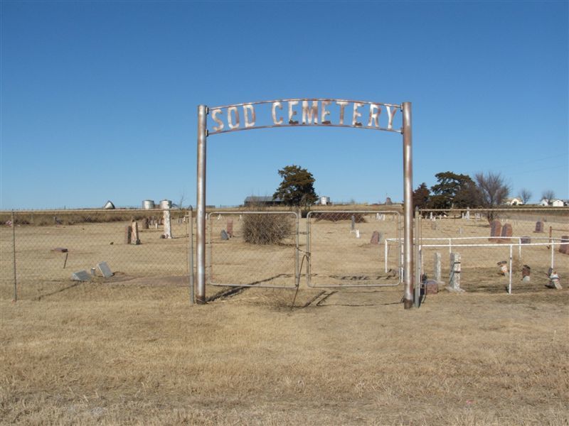
| Description | : | Located in Cordell Township; Legal description SW 1/4 of Section 20, Township 10 N, Range 17 W. On May 4, 1910, S. A. and Mary Cain deeded Farmland to the trustees of the Sod School House Cemetery. This cemetery is also known as Elm Cemetery. Some of the interments in this cemetery were moved here from the Red Bluff Cemetery. Caretaker: Bob Adams |
frequently asked questions (FAQ):
-
Where is Sod Cemetery?
Sod Cemetery is located at Cordell, Washita County ,Oklahoma ,USA.
-
Sod Cemetery cemetery's updated grave count on graveviews.com?
4 memorials
-
Where are the coordinates of the Sod Cemetery?
Latitude: 35.3205986
Longitude: -99.0113983
Nearby Cemetories:
1. Lawnview Cemetery
Cordell, Washita County, USA
Coordinate: 35.3036995, -98.9645996
2. Russell Cemetery
Cordell, Washita County, USA
Coordinate: 35.2616997, -99.0192032
3. Dugford Cemetery
Dill City, Washita County, USA
Coordinate: 35.2817001, -99.0821991
4. Sichar Cemetery
Cordell, Washita County, USA
Coordinate: 35.3191986, -98.9233017
5. Red Bluff Cemetery
Burns Flat, Washita County, USA
Coordinate: 35.3356438, -99.1006317
6. Bible Mennonite Brethren Cemetery
Bessie, Washita County, USA
Coordinate: 35.3624496, -98.9346313
7. Peace Lutheran Cemetery
Bessie, Washita County, USA
Coordinate: 35.3918839, -98.9754410
8. Herold Mennonite Church Cemetery
Bessie, Washita County, USA
Coordinate: 35.3596497, -98.9226608
9. Johnson Gravesite
Bessie, Washita County, USA
Coordinate: 35.3925500, -98.9582500
10. Union Hatchett Cemetery
Bessie, Washita County, USA
Coordinate: 35.4077988, -98.9756012
11. Strickland Cemetery
Cordell, Washita County, USA
Coordinate: 35.2193985, -98.9933014
12. Boggy Cemetery
Burns Flat, Washita County, USA
Coordinate: 35.3485985, -99.1339035
13. Brethren Cemetery
Cordell, Washita County, USA
Coordinate: 35.2551994, -98.9063034
14. Shelley Cemetery
Corn, Washita County, USA
Coordinate: 35.3497009, -98.8703003
15. Liberty Bell Cemetery
Dill City, Washita County, USA
Coordinate: 35.2331009, -99.1168976
16. Guy Cemetery
Bessie, Washita County, USA
Coordinate: 35.4536781, -99.0276718
17. South Burns Cemetery
Dill City, Washita County, USA
Coordinate: 35.2625008, -99.1603012
18. Zion Lutheran Cemetery
Bessie Township, Washita County, USA
Coordinate: 35.4510231, -99.0547943
19. North Burns Cemetery
Burns Flat, Washita County, USA
Coordinate: 35.3196983, -99.1785965
20. Lone Star Cemetery
Rocky, Washita County, USA
Coordinate: 35.1883011, -99.0594025
21. Corinth Cemetery
Burns Flat, Washita County, USA
Coordinate: 35.3636017, -99.1789017
22. Reinke Family Cemetery
Bessie, Washita County, USA
Coordinate: 35.4646530, -98.9960861
23. Cloud Chief Cemetery
Cloud Chief, Washita County, USA
Coordinate: 35.2397003, -98.8606033
24. Grissom Cemetery
Rocky, Washita County, USA
Coordinate: 35.1822014, -99.0772018