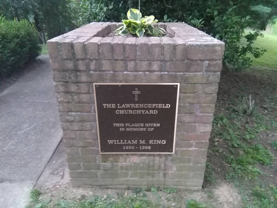
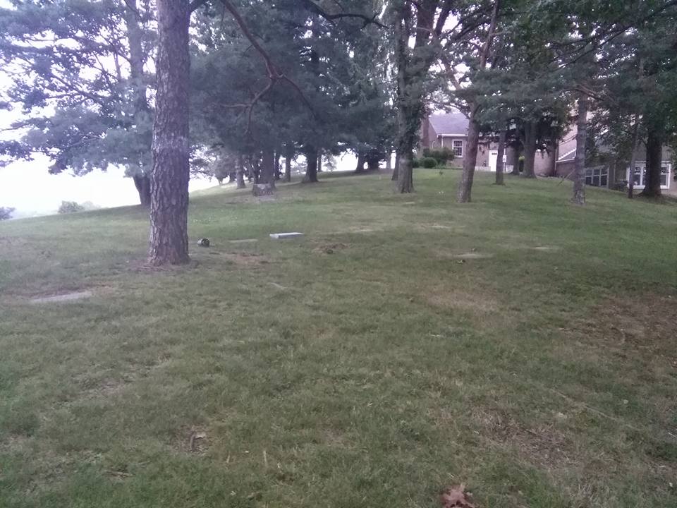
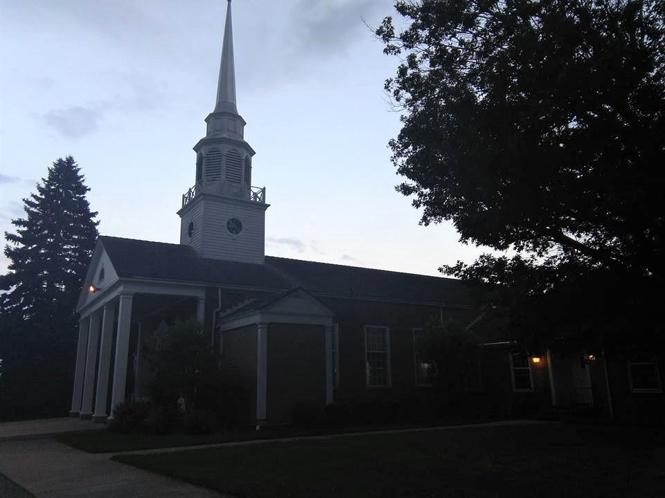
| Memorials | : | 2 |
| Location | : | Ohio County, USA |
| Coordinate | : | 40.1281310, -80.6615600 |
frequently asked questions (FAQ):
-
Where is Lawrencefield Parish Church Cemetery?
Lawrencefield Parish Church Cemetery is located at 159 Chapel Rd. Ohio County ,West Virginia ,USA.
-
Lawrencefield Parish Church Cemetery cemetery's updated grave count on graveviews.com?
1 memorials
-
Where are the coordinates of the Lawrencefield Parish Church Cemetery?
Latitude: 40.1281310
Longitude: -80.6615600
Nearby Cemetories:
1. Old Tent Cemetery
Wheeling, Ohio County, USA
Coordinate: 40.1090164, -80.6372910
2. Riley Hill Road Cemetery
Clearview, Ohio County, USA
Coordinate: 40.1456299, -80.6941910
3. Oaklawn Memorial Park
Clearview, Ohio County, USA
Coordinate: 40.1469002, -80.6931000
4. Short Creek Methodist Church Cemetery
West Liberty, Ohio County, USA
Coordinate: 40.1568985, -80.6389008
5. Wilson Cemetery
Clearview, Ohio County, USA
Coordinate: 40.1608009, -80.6813965
6. Parkview Memorial Gardens
Wheeling, Ohio County, USA
Coordinate: 40.0917015, -80.6560974
7. Gregg Cemetery
Greggsville, Ohio County, USA
Coordinate: 40.0942001, -80.6881027
8. Henschel Cemetery
Pease Township, Belmont County, USA
Coordinate: 40.1197200, -80.7177840
9. Cochran Family Cemetery
Martins Ferry, Belmont County, USA
Coordinate: 40.1361110, -80.7230570
10. Morgan Cemetery
West Liberty, Ohio County, USA
Coordinate: 40.1469002, -80.6042023
11. Nixon Farm Cemetery
Martins Ferry, Belmont County, USA
Coordinate: 40.1325000, -80.7277780
12. Walnut Grove Cemetery
Martins Ferry, Belmont County, USA
Coordinate: 40.0999985, -80.7181015
13. Riverview Cemetery
Martins Ferry, Belmont County, USA
Coordinate: 40.1032000, -80.7207600
14. Roneys Point Cemetery
Wheeling, Ohio County, USA
Coordinate: 40.0932530, -80.6105200
15. Mound Cemetery
Tiltonsville, Jefferson County, USA
Coordinate: 40.1744003, -80.6949997
16. Dement Cemetery
West Liberty, Ohio County, USA
Coordinate: 40.1244380, -80.5911110
17. King Family Cemetery
Rayland, Jefferson County, USA
Coordinate: 40.1689423, -80.7109297
18. Upland Heights Cemetery
Warren Township, Jefferson County, USA
Coordinate: 40.1608009, -80.7285995
19. Prall Cemetery
West Liberty, Ohio County, USA
Coordinate: 40.1675040, -80.5992960
20. West Cemetery
Upland Heights, Jefferson County, USA
Coordinate: 40.1606241, -80.7343555
21. Mount de Chantal Visitation Cemetery
Wheeling, Ohio County, USA
Coordinate: 40.0686640, -80.6951520
22. West Liberty Cemetery
West Liberty, Ohio County, USA
Coordinate: 40.1674995, -80.5939026
23. Mount Wood Cemetery
Wheeling, Ohio County, USA
Coordinate: 40.0814018, -80.7225037
24. Peninsula Cemetery
Wheeling, Ohio County, USA
Coordinate: 40.0758000, -80.7144000


