
| Memorials | : | 25 |
| Location | : | Mount Hope, Holmes County, USA |
| Coordinate | : | 40.6219870, -81.7712110 |
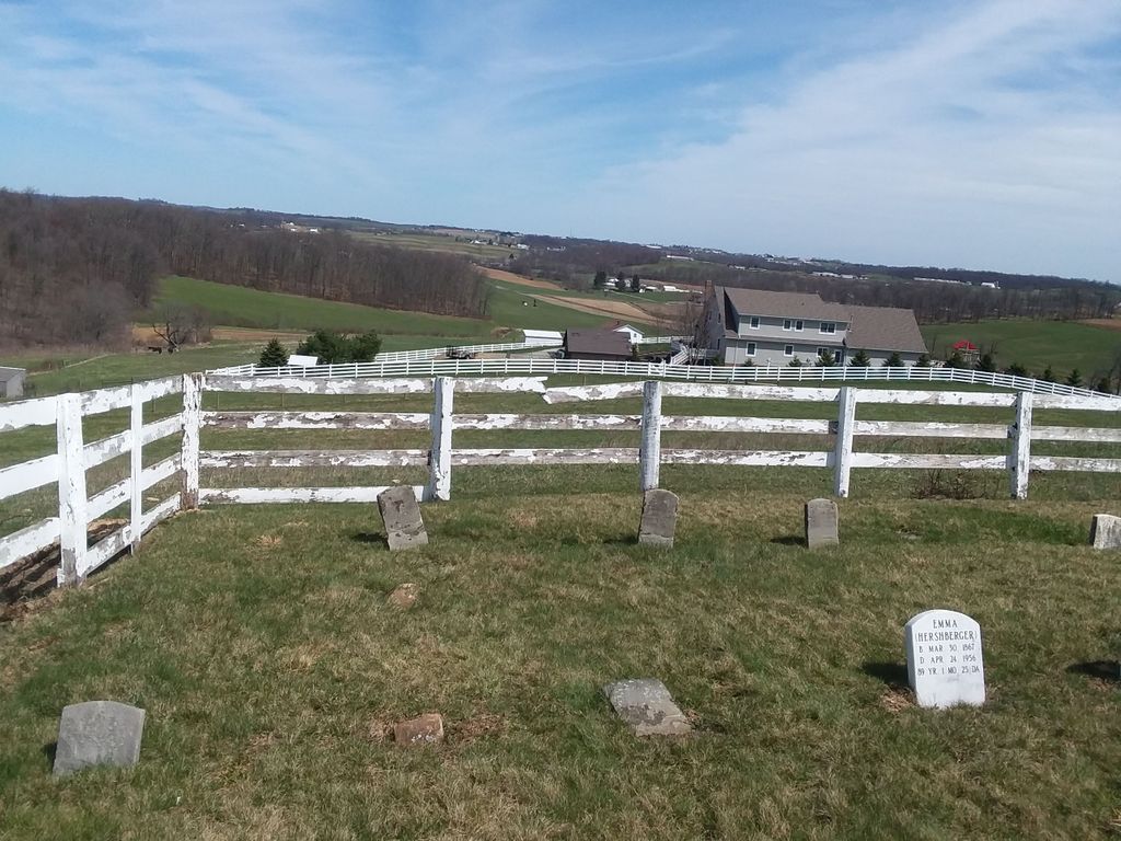
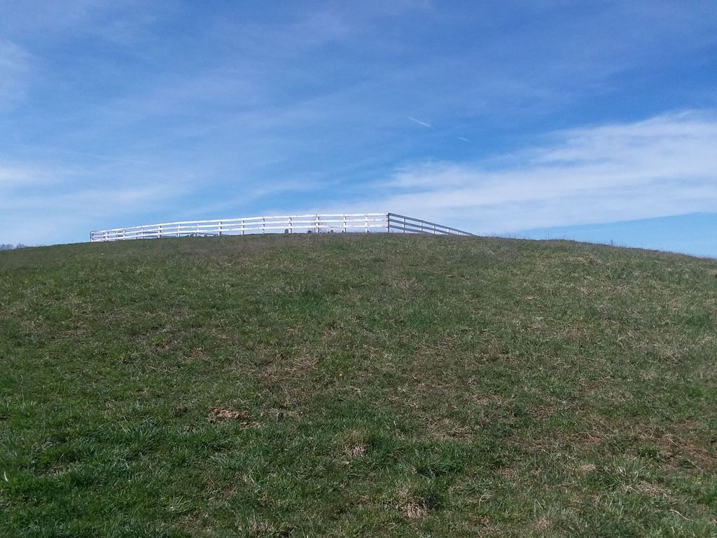
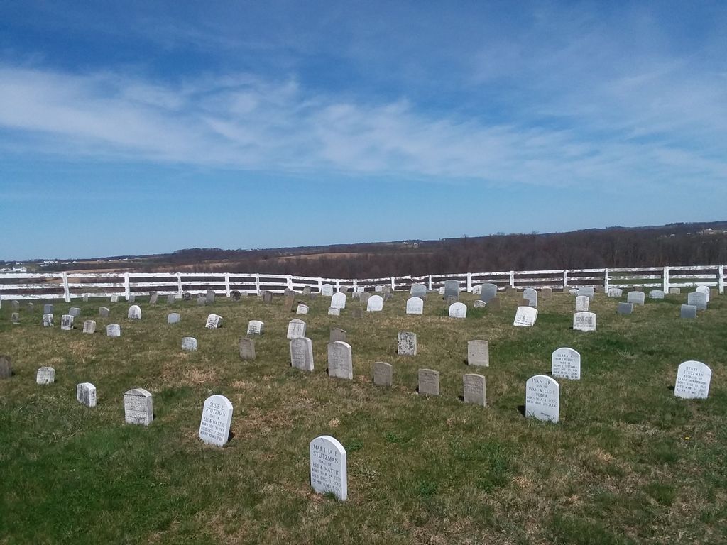
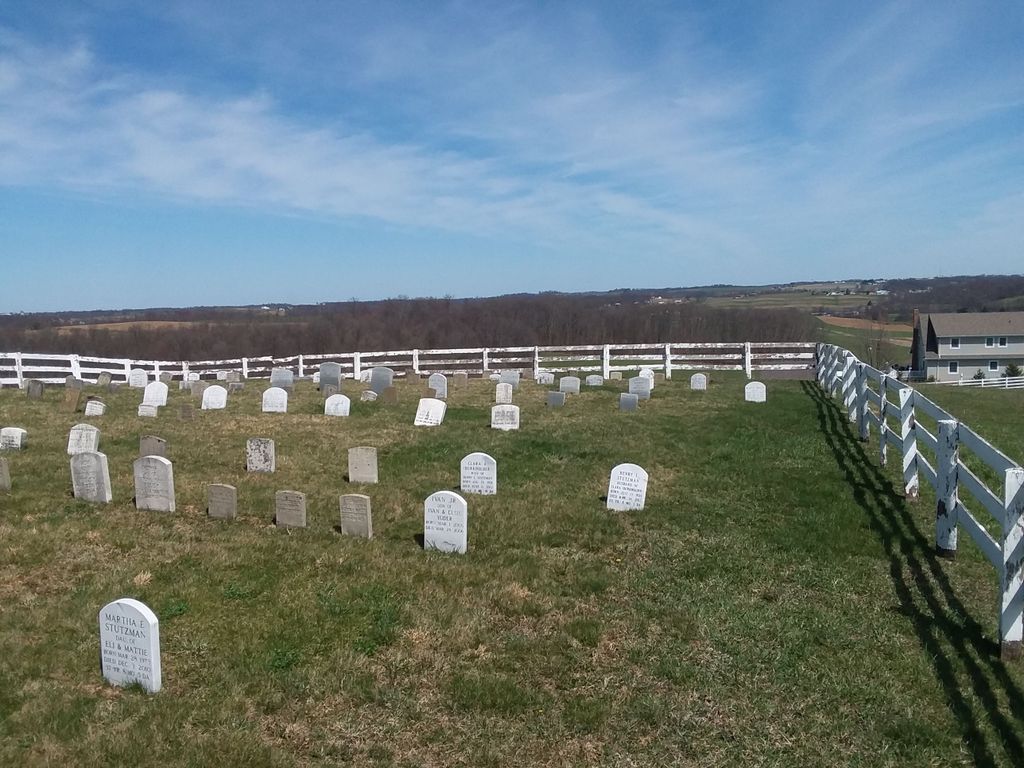
| Description | : | The cemetery is located on the north side of County Road 160 about 0.65 mile west of its intersection with Township Road 652. The cemetery is located in Salt Creek Township, Holmes County, Ohio, and is # 5698 (Levi Stutzman Farm Cemetery) in “Ohio Cemeteries 1803-2003”, compiled by the Ohio Genealogical Society. The cemetery is identified as F-3 (Levi Stutzman Farm Cemetery) in “Cemetery Directory of the Amish Community in Eastern Holmes and Adjoining Counties in Ohio" by Leroy Beachy, (c) 1975. |
frequently asked questions (FAQ):
-
Where is Levi Stutzman Farm Cemetery?
Levi Stutzman Farm Cemetery is located at County Road 160 Mount Hope, Holmes County ,Ohio , 44654USA.
-
Levi Stutzman Farm Cemetery cemetery's updated grave count on graveviews.com?
25 memorials
-
Where are the coordinates of the Levi Stutzman Farm Cemetery?
Latitude: 40.6219870
Longitude: -81.7712110
Nearby Cemetories:
1. Daniel S Hershberger Farm Cemetery
Mount Hope, Holmes County, USA
Coordinate: 40.6300310, -81.7632580
2. Hochstetler Cemetery
Mount Hope, Holmes County, USA
Coordinate: 40.6145000, -81.7832000
3. Jacob Mast Farm Cemetery
Mount Hope, Holmes County, USA
Coordinate: 40.6097900, -81.7786620
4. Ben M Miller Farm Cemetery
Mount Hope, Holmes County, USA
Coordinate: 40.6335310, -81.7596100
5. Abe J Miller Farm Cemetery
Mount Hope, Holmes County, USA
Coordinate: 40.6179920, -81.7930730
6. Ezra Y Miller Farm Cemetery
Millersburg, Holmes County, USA
Coordinate: 40.6101940, -81.7885540
7. Daniel J Miller Farm Cemetery
Mount Hope, Holmes County, USA
Coordinate: 40.6042620, -81.7658340
8. Noah Troyer Farm Cemetery
Mount Hope, Holmes County, USA
Coordinate: 40.6348950, -81.7954220
9. Arnold Cemetery
Mount Hope, Holmes County, USA
Coordinate: 40.6127777, -81.7997208
10. Raymond Hershberger Farm Cemetery
Mount Hope, Holmes County, USA
Coordinate: 40.6460900, -81.7685910
11. Miller Cemetery
Winesburg, Holmes County, USA
Coordinate: 40.6116982, -81.7414017
12. Henry Hersberger Farm Cemetery
Mount Hope, Holmes County, USA
Coordinate: 40.5990270, -81.7869540
13. Milo Yoder Farm Cemetery
Winesburg, Holmes County, USA
Coordinate: 40.6130900, -81.7377900
14. John Schlabach Farm Cemetery
Mount Hope, Holmes County, USA
Coordinate: 40.6412964, -81.7459183
15. Yutzy Cemetery
Winesburg, Holmes County, USA
Coordinate: 40.6108017, -81.7371979
16. Pleasant View Mennonite Church Cemetery
Berlin, Holmes County, USA
Coordinate: 40.6026470, -81.7419720
17. Emanuel Miller Farm Cemetery
Millersburg, Holmes County, USA
Coordinate: 40.5942890, -81.7577250
18. Parker Cemetery
Holmes County, USA
Coordinate: 40.6444016, -81.7455978
19. Slutz Cemetery
Mount Hope, Holmes County, USA
Coordinate: 40.6468850, -81.7971260
20. Raymond J Kline Farm Cemetery #1
Bunker Hill, Holmes County, USA
Coordinate: 40.5901930, -81.7745870
21. Drushel Cemetery
Millersburg, Holmes County, USA
Coordinate: 40.6003430, -81.8021060
22. Jacob E Miller Farm Cemetery
Bunker Hill, Holmes County, USA
Coordinate: 40.5901500, -81.7745800
23. Daniel J Miller Farm Cemetery
Bunker Hill, Holmes County, USA
Coordinate: 40.5905300, -81.7833390
24. Wolgamott Cemetery
Holmes County, USA
Coordinate: 40.6341300, -81.8126600